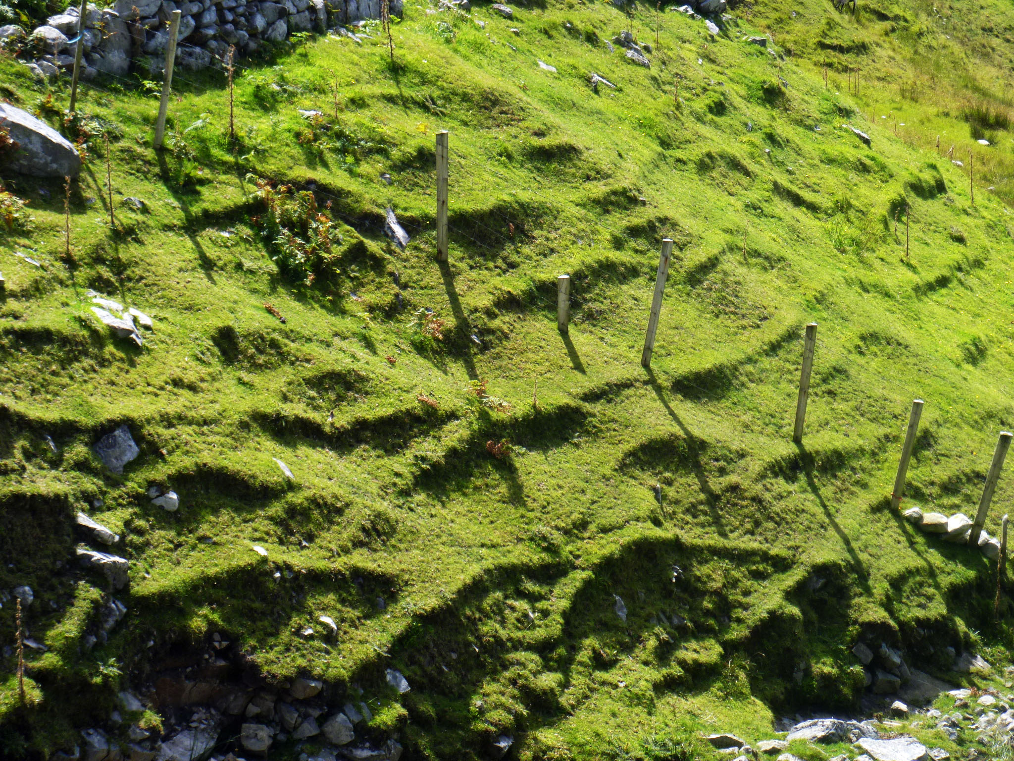
Benbulben is a striking feature on the Donegal landscape, or is it Sligo, or Leitrim? County boundaries are close together here and this mountain plateau can be seen for many miles. We followed the Benbulben Forest Walk to skirt the edge of the mountain, admiring the velvety moss green drape of its slopes.
 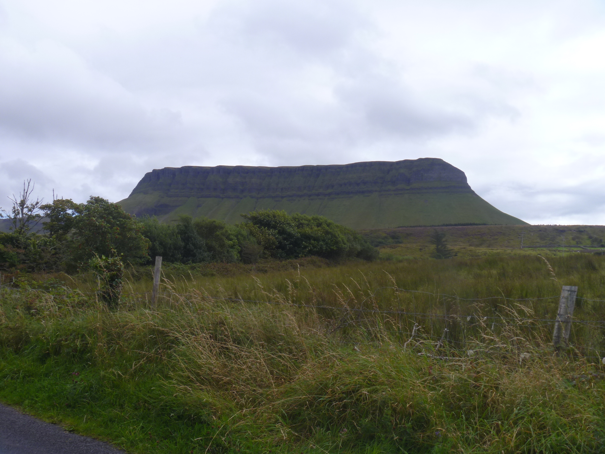 The tiny white flecks on its surface are sheep that graze all the way up to the rocks. As you walk from one end to the other of its rocky face, Benbulben changes from a knob of rock to a wall of cliffs to a row of jagged teeth looming over the valley.
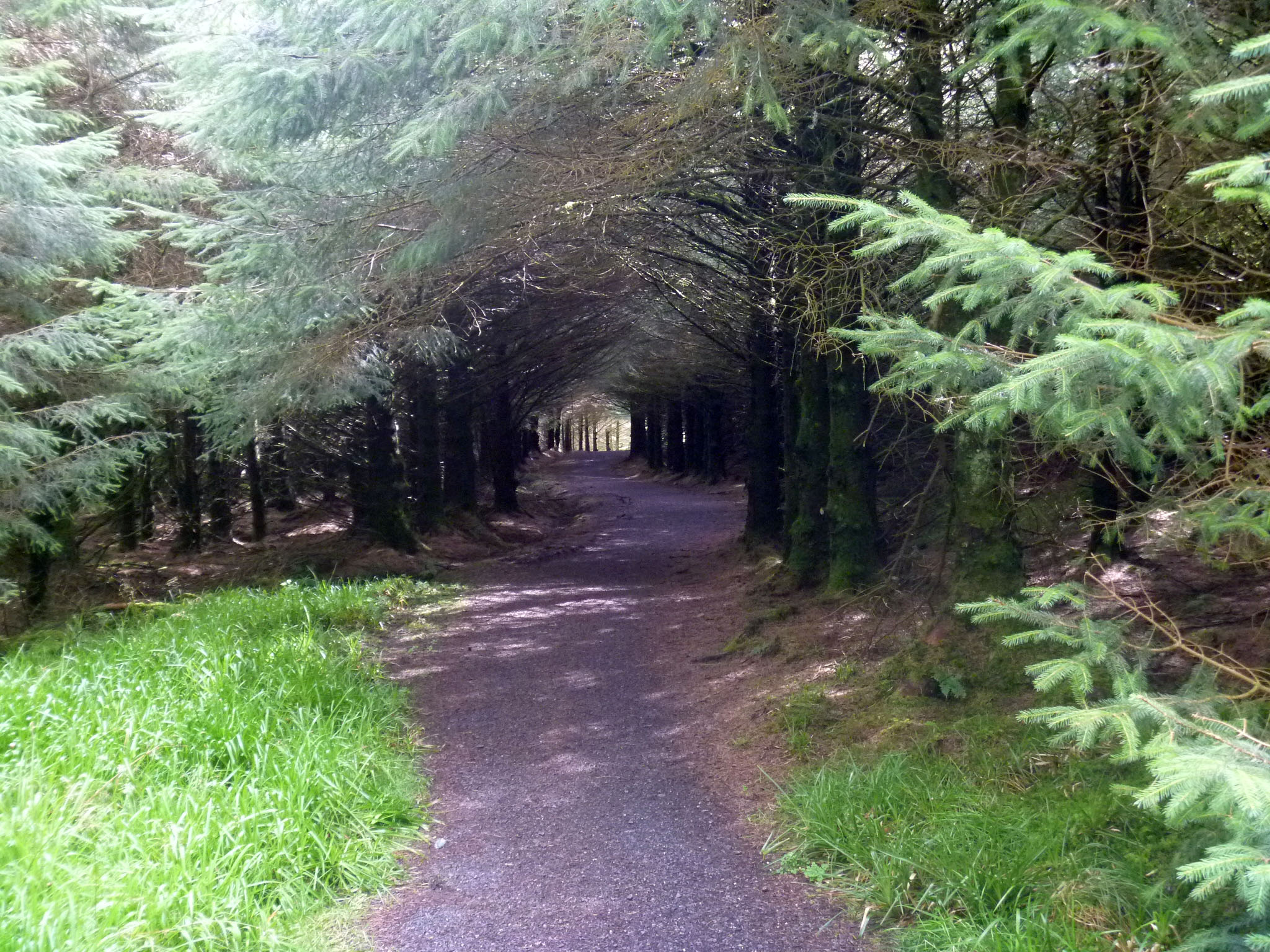
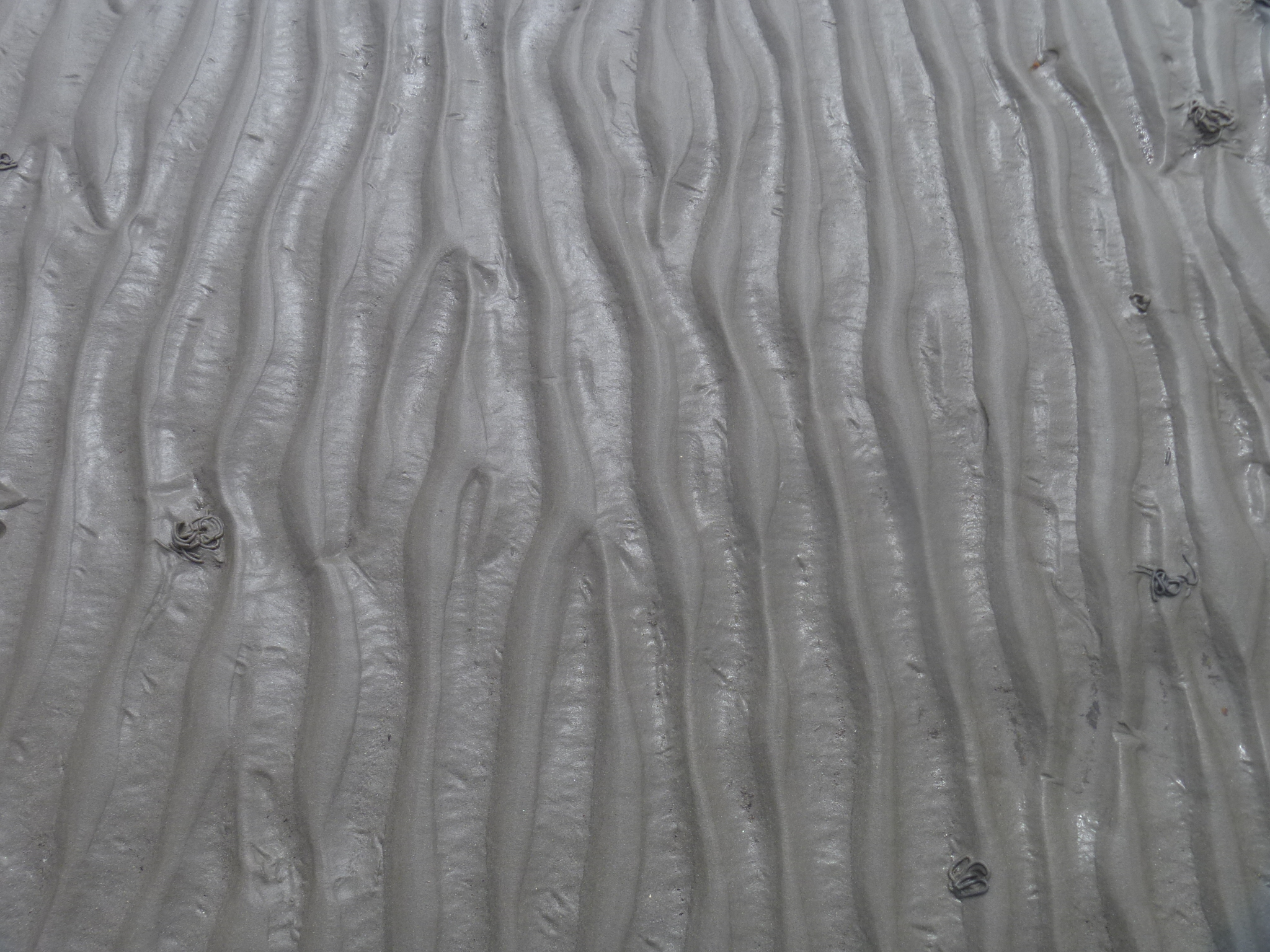
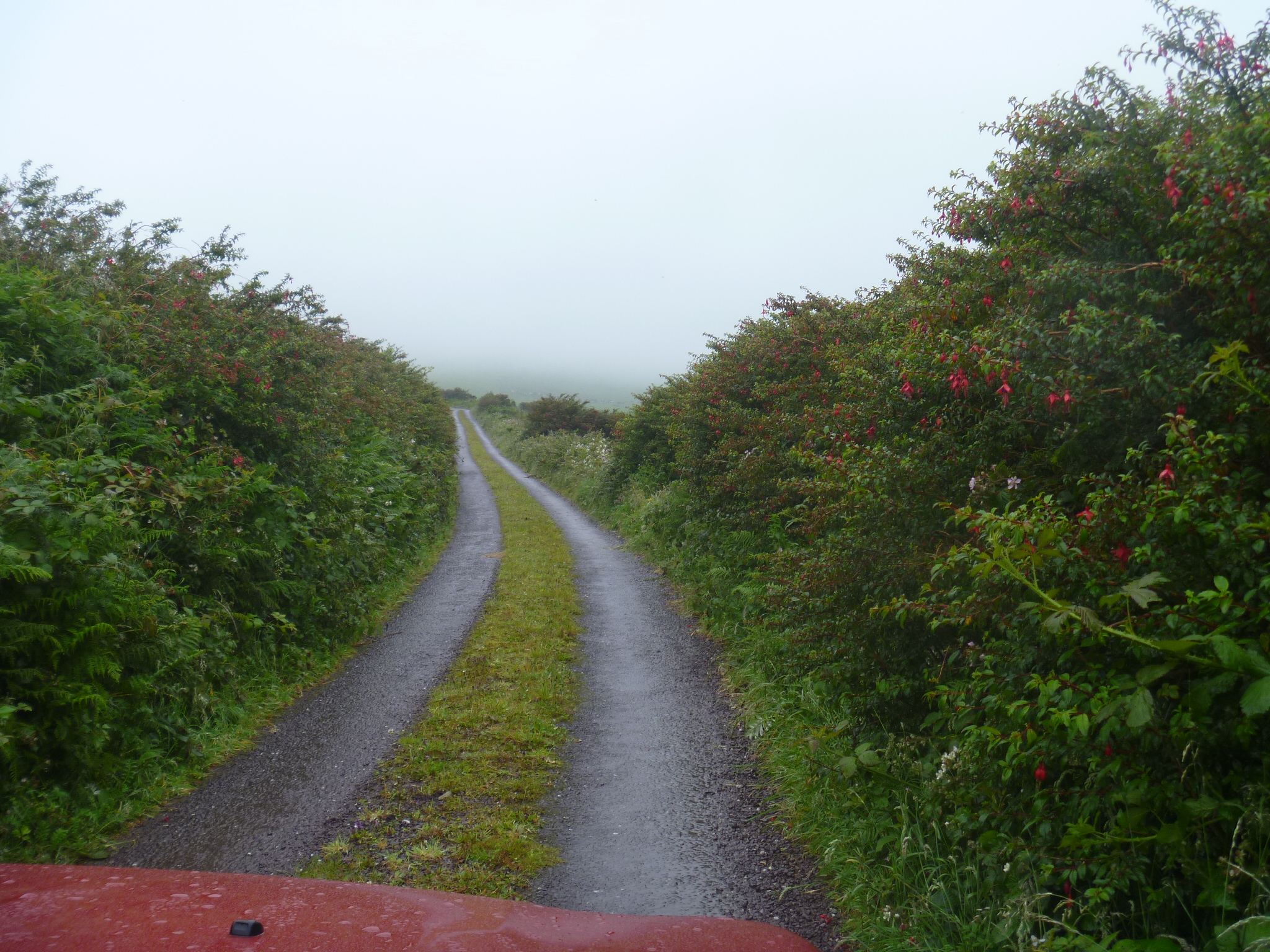
Our walk started in bright sun, then shifted to overcast and to rain. We stood among the pines of a forestry plantation to escape the gusts for five minutes and then the rain was past.
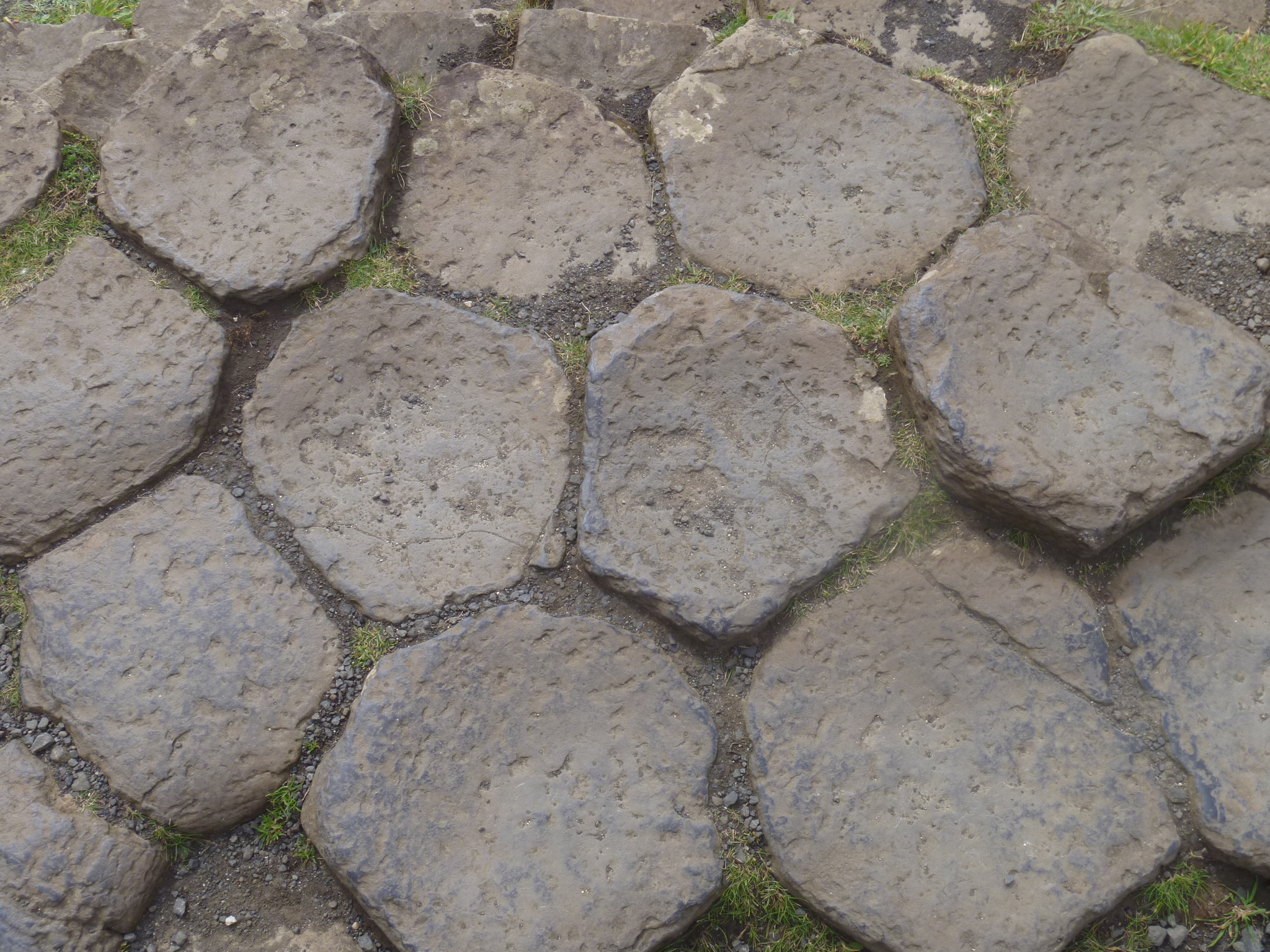
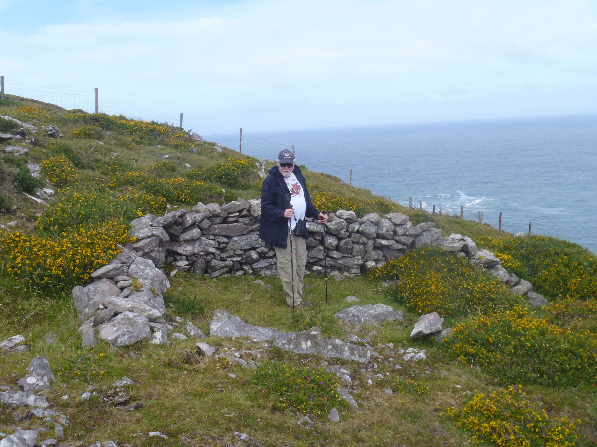
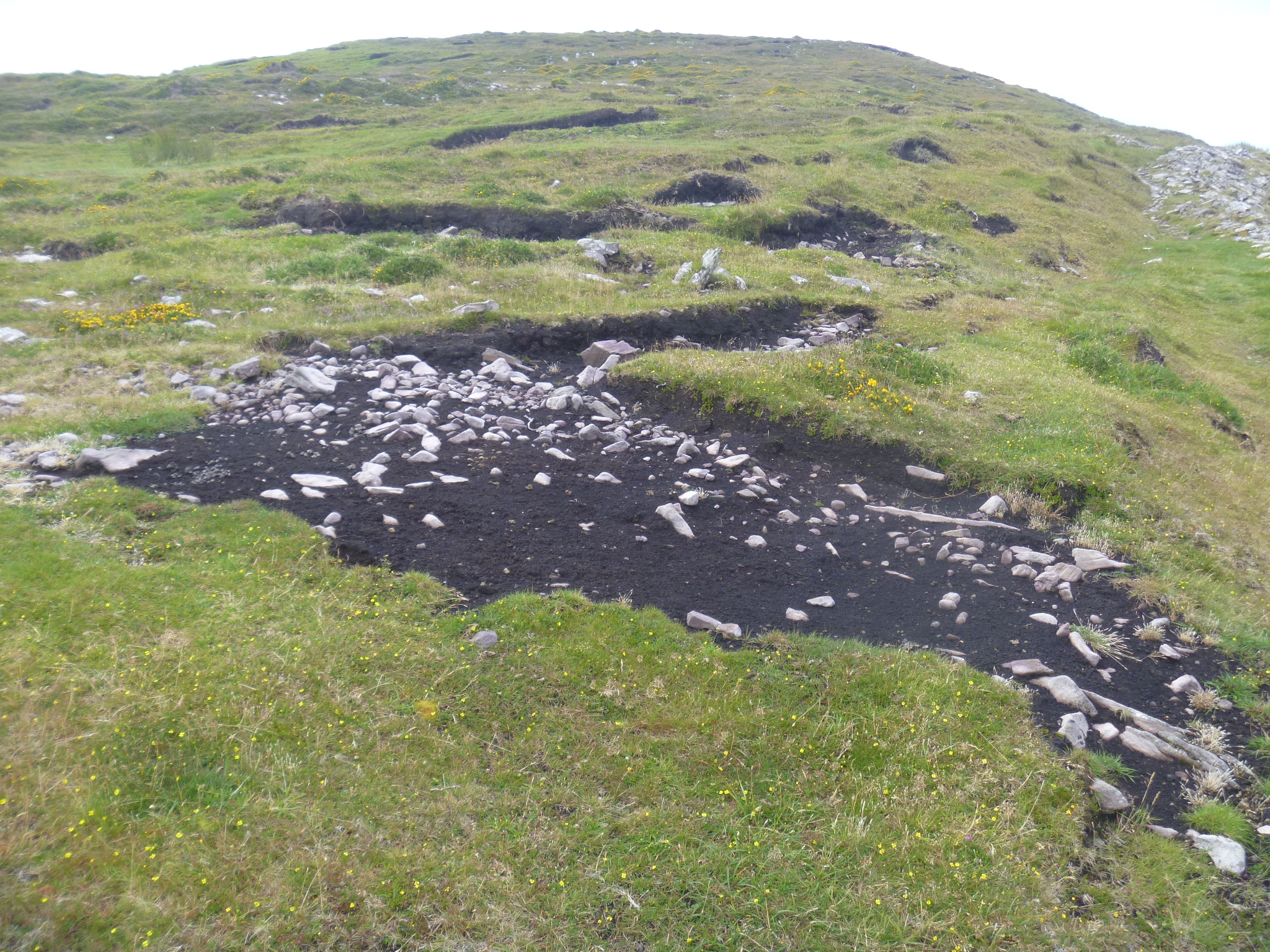
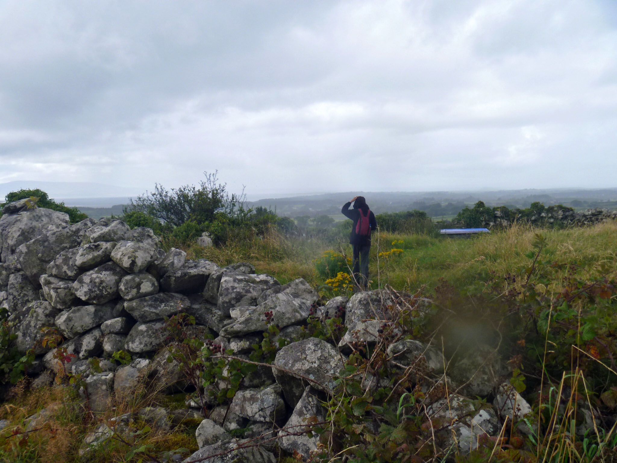 We stopped to look at the ruin of a medieval farmstead, Cashel Baun, that we found along the path, then continued on from the park to a place called Luke’s Bridge, around the side of Benbulben. Luke’s Bridge is a trailhead for hiking up onto the plateau at the top of Benbulben. We saw four hikers making their way down the final stretch after what surely had been a long morning. Anyone can climb the trail as long as they have the legs, boots, raingear, water, snacks and desire to do so.
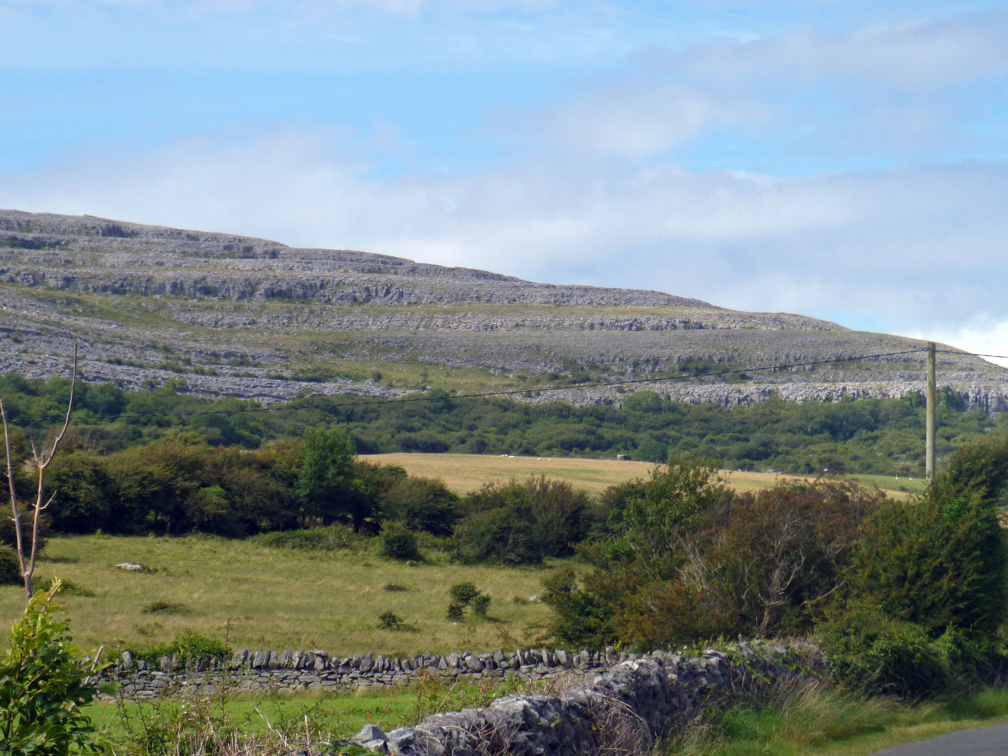
 When you put your back to Benbulben you can see fields and pastures and the Atlantic in the distance.
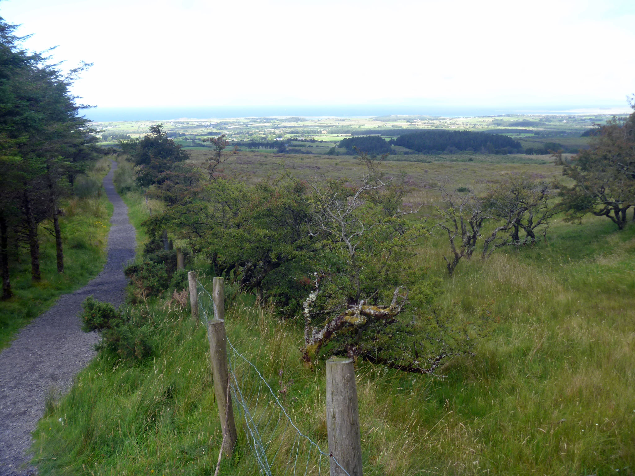 I have been reading about “overtourism” lately, the fact that popular places have become so full of tourists that there is no room for local residents. Tourist hotels and rental properties squeeze housing availability and raise prices. Streets are packed with people day and night–sometimes things get rowdy. Many people who travel are in favor of sustainable tourism but no one wants to give up seeing a famous sight. We all seem to want limits on visitors right AFTER we’ve been there.
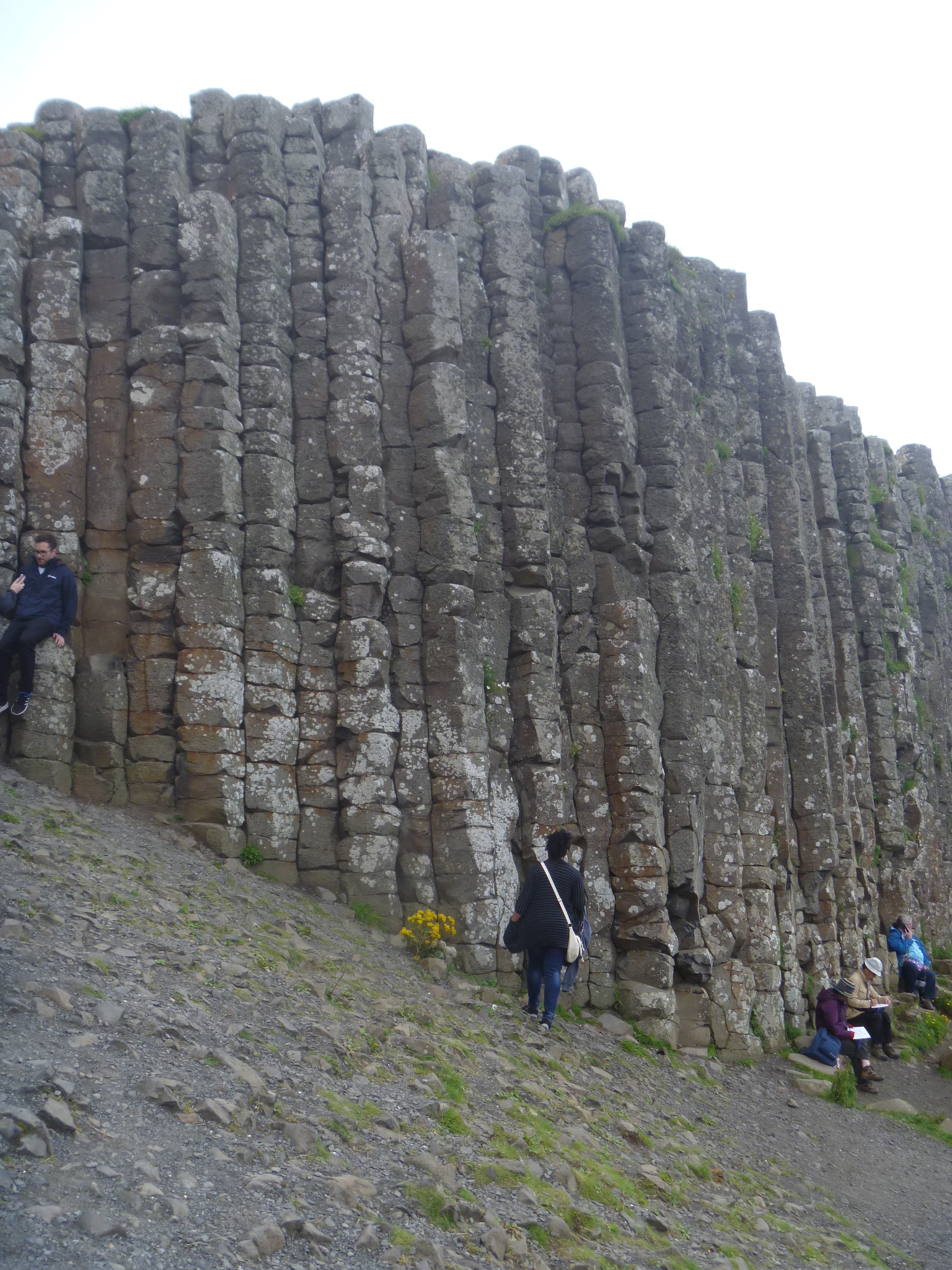
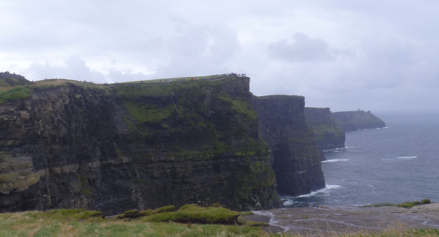
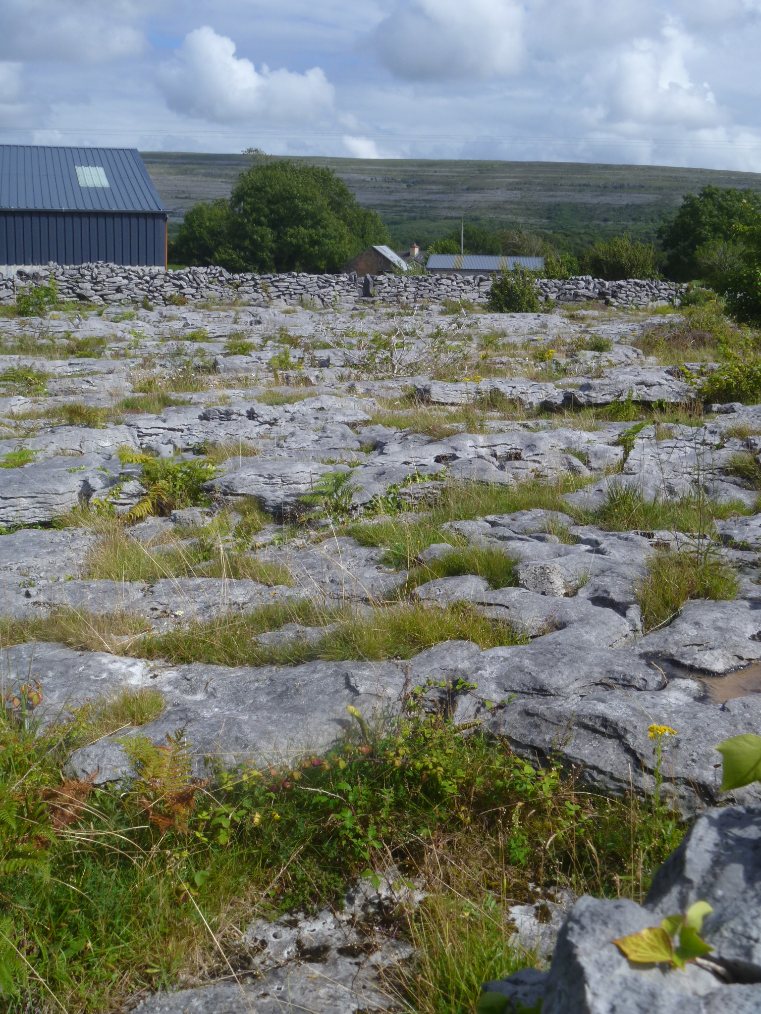
Now that I’ve been to Benbulben, I think it was a better experience than visiting the Cliffs of Moher, which were full, full, full of other visitors. There were a few other cars in the parking lot at Benbulben and we passed two other groups of walkers. Would I have passed up visiting the Cliffs of Moher had I known about the crowds? I don’t know. After we visited the Giant’s Causeway and saw the number of people there we decided not to visit the Carrick-a-Rede rope bridge nearby that most visitors stop and see. We understood there would be just as many people there and since the experience is to cross a long rope bridge between mainland and island, there isn’t anything to do but stand in line and wait your turn (timed tickets started this year). The line is said to be 90 minutes on most days. It didn’t sound like fun at that point. I’m glad we passed on it. There are lots of places to visit in Ireland that are still uncrowded and beautiful.