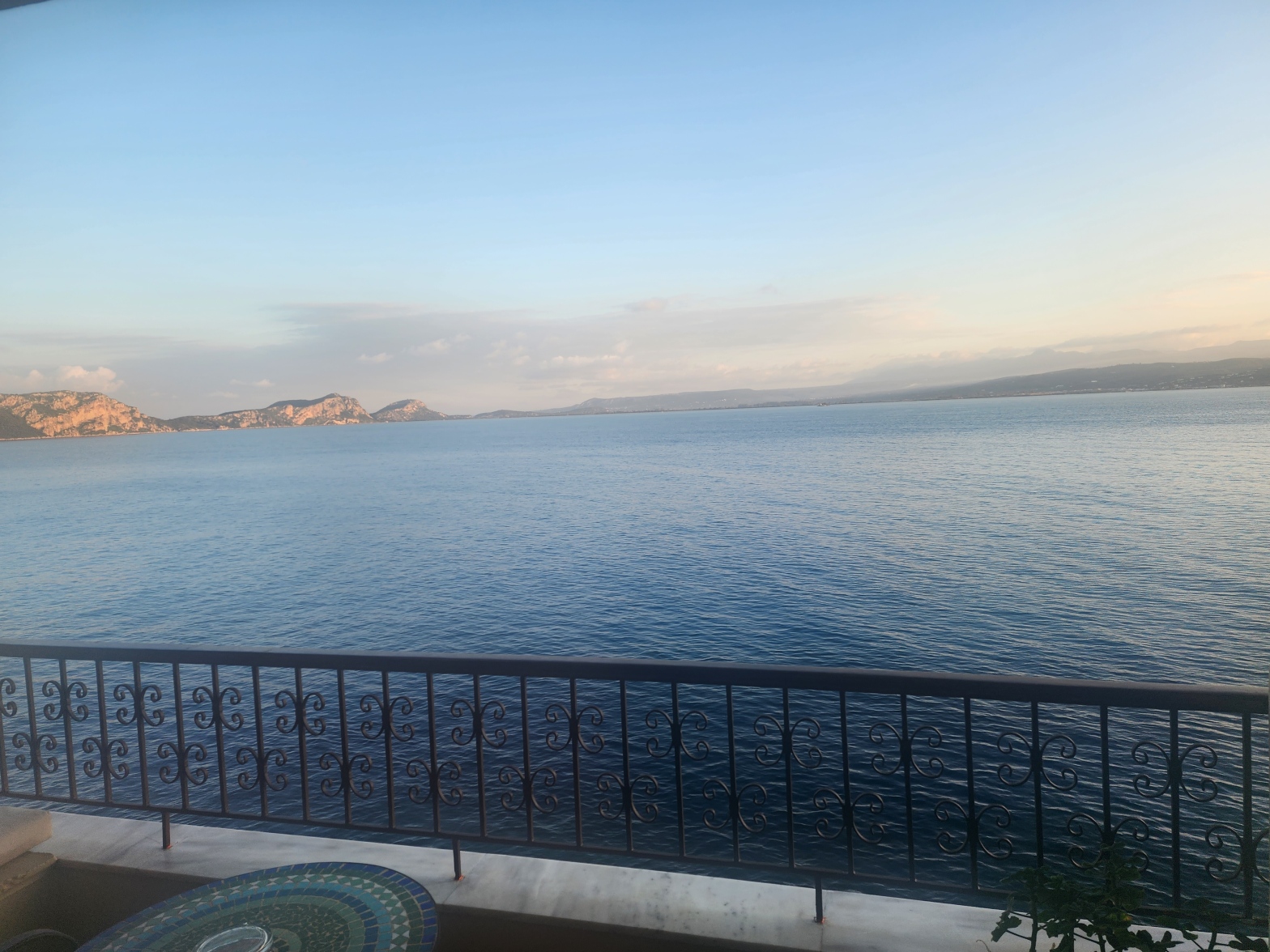
Another beautiful day in the Peloponnese began the view out our hotel window over the water looking tranquil in the rising sun. Our first stop was the fortress of Pylos and the small museum. The view over town was gorgeous. The museum had a few lovely examples of the fine crafts that were traded inContinue reading “Peloponnese (6): Pylos to Olympia and beyond”
Tag Archives: Coast
Peloponnese (3): Nafplio, Epidaurus, Sparta

We began the day with a stroll through Nafplio, a lovely seaside town, where I could easily imagine spending a couple of weeks in the summer. There’s even a seaside rock swimming pool that reminded me of the Sydney area. Nafplio was the first capital city of the modern Greek state, 1823-1834. It would beContinue reading “Peloponnese (3): Nafplio, Epidaurus, Sparta”
The South Spit of Humboldt Bay
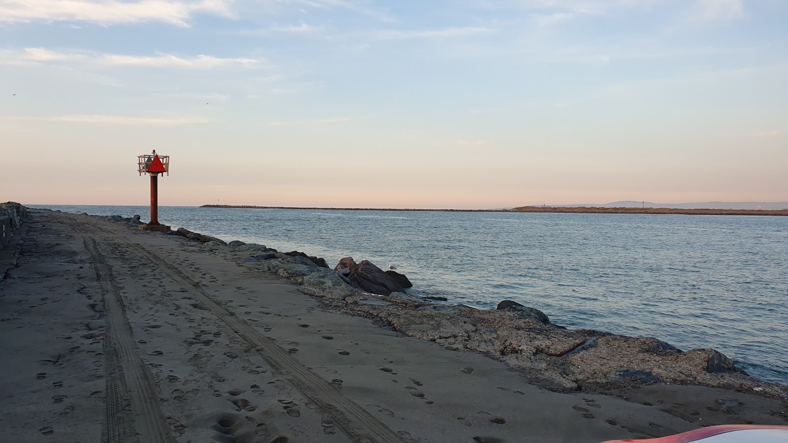
South Spit is a long narrow finger of land that extends around the west side of South Bay, the south end of Humboldt Bay that includes the mouth of the Eel River. Getting there requires a drive south along Rte. 101 to the turnoff at Beatrice, then west along the marshy land south of HumboldtContinue reading “The South Spit of Humboldt Bay”
King Salmon

We’re having a stretch of good weather, sunny and clear, with none of the rain winters here are known for. We decided to go for a walk in King Salmon, a tiny town on a peninsula south of Eureka. It’s all low-lying land, and floods whenever there’s an especially high tide. I wanted to haveContinue reading “King Salmon”
Plymouth

We were invited to visit friends in Plymouth and went down on the train from Paddington. The forecast was for rain all weekend “it’s October in England for god’s sake!” so we went with raincoats, sweaters, and boots. Fortunately, we didn’t need them. From the train, we went to visit the Dartington Trust Gardens, aContinue reading “Plymouth”
We find adventure in Wilmington NC

On Sunday, we made the drive from Virginia Beach, VA to Wilmington, NC. It’s a 4 1/2 hour drive according to Googlemaps, but we stop a bit more frequently than it does. We were settled in our new house by the end of the day. It’s the most playful place we’ve ever stayed. The spaceContinue reading “We find adventure in Wilmington NC”
Wild Ponies

We try not to drive more than two hours from our home base unless we’re going to stay the night. We pushed our limit to get from Virgina Beach to Chincoteague, a few miles shy of the Maryland border. We wanted to see the town, visit Assateague Beach and see the famed ponies. We droveContinue reading “Wild Ponies”
We step onto Virginia Beach
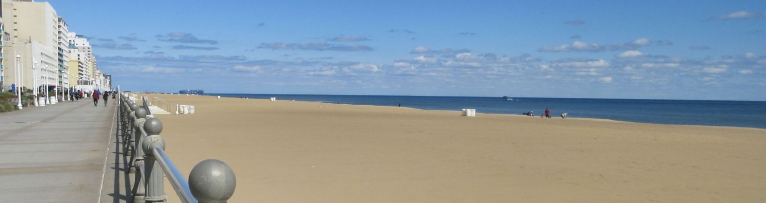
Wonderful to be back at the beach! Any beach! I was itching to see what our shore is like, though we arrived late in the day at our latest Airbnb and had to unpack just a little. By then it was dark. We can see birds from our deck and hear them all around ourContinue reading “We step onto Virginia Beach”
Return to Barranca, Peru

We landed at 1:45 am, got to the gate by 2 am, were waved into the priority line (white hair?) and through immigration by 2:15 am. Our luggage showed up at 3 am. Fortunately, we’d decided to stay overnight in the Lima airport hotel, and we were in bed by 3:30 am. A long dayContinue reading “Return to Barranca, Peru”
Windward (East) Kohala, Hawaii
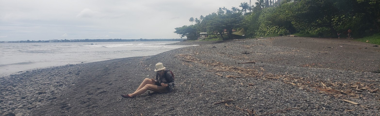
Just east of us lies a turning point in the landscape. Beyond it, the weather is wetter, the hillsides greener, and the coast is shaped differently. We set out to explore as much of the shore as we could, and immediately ran into high, steep cliffs. There are some tiny patches of beach and rocksContinue reading “Windward (East) Kohala, Hawaii”
