Good to know about Scotland
People
The smaller town, the nicer the people. Not that people in Edinburgh aren’t great, but it’s a city and you can’t talk to everyone on the street. If you ask a question in a smaller place, the person you’ve asked hasn’t already been asked that question innumerable times, and may have more time and interest in chatting. I have learned from others:
- Say hello to people.
- Ask a question, don’t hesitate.
- If you admire something about a person (hat, walking stick, parking maneuver…) tell them if you have a chance. Everyone likes to be appreciated.
Travel
Whatever your interests are, Scotland has specialized places to visit.
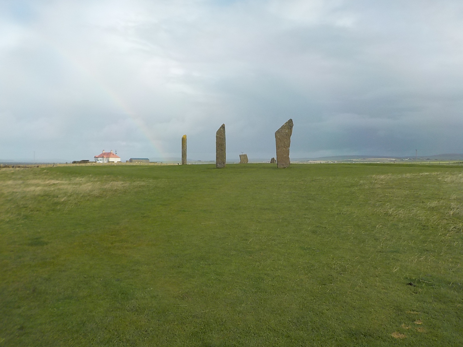
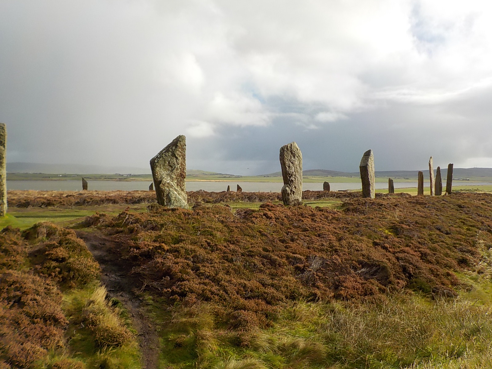
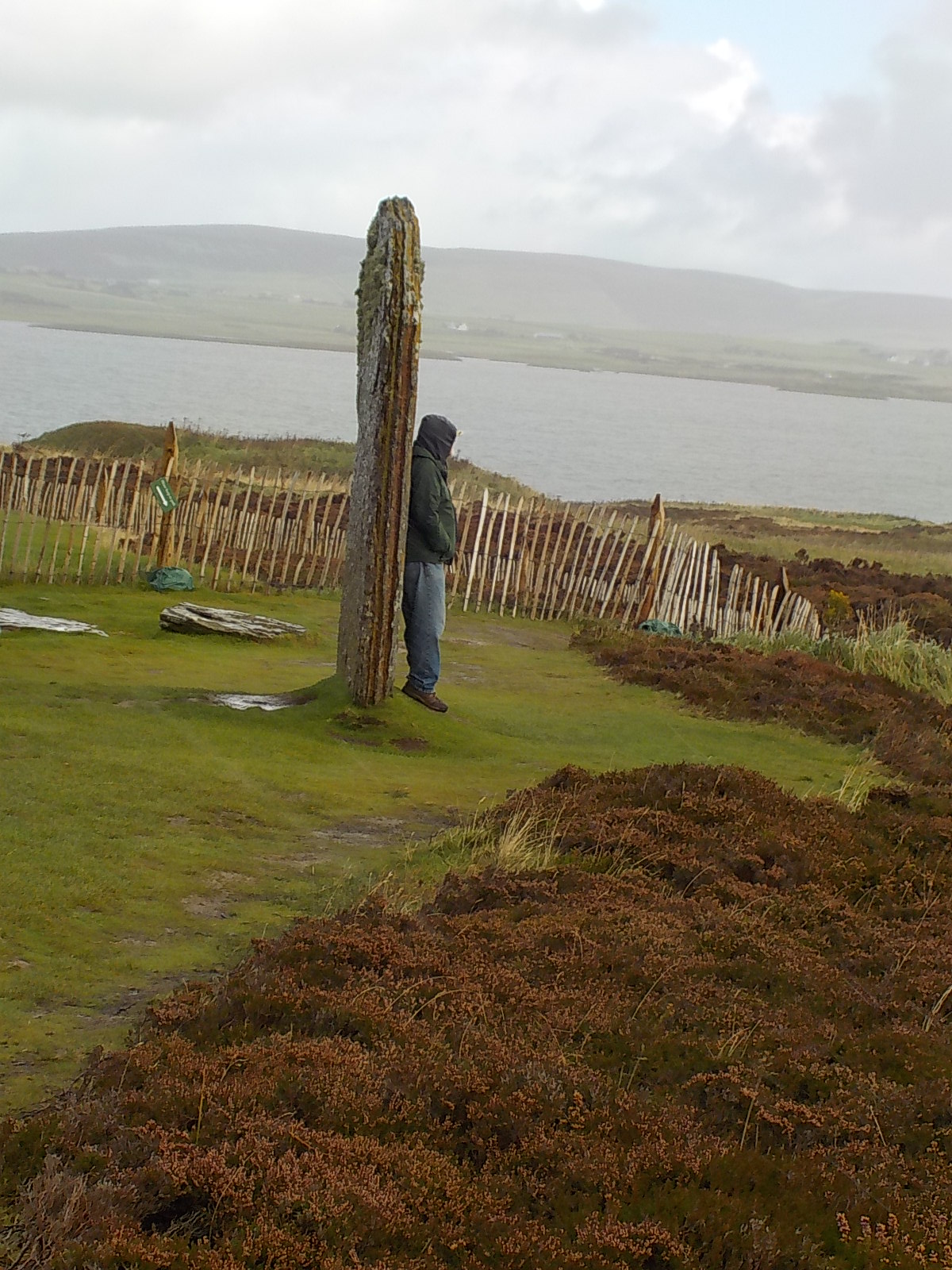
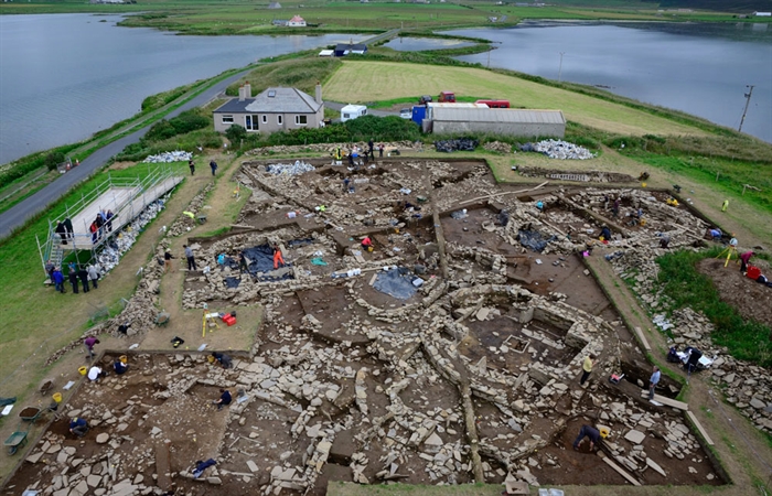
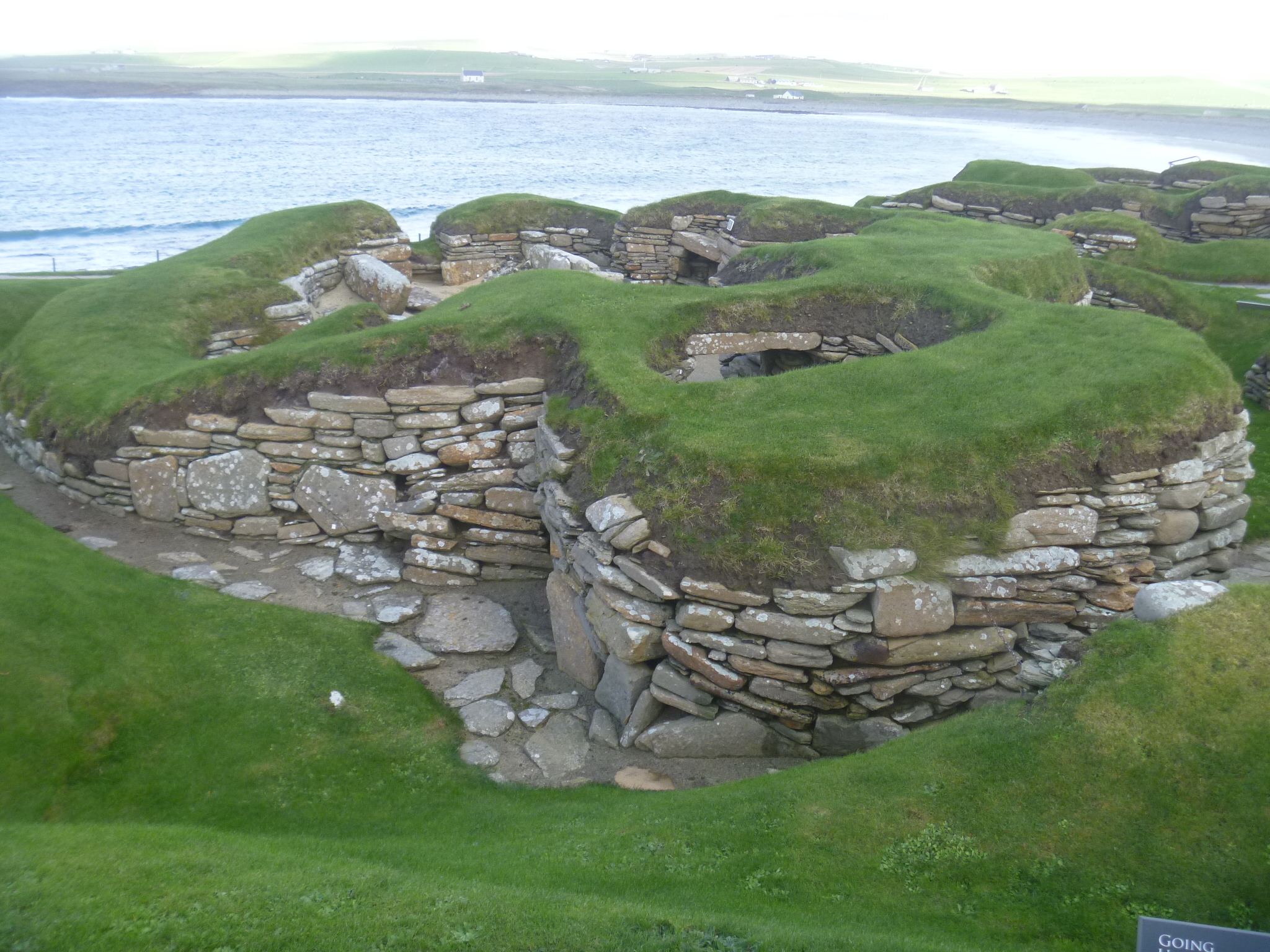
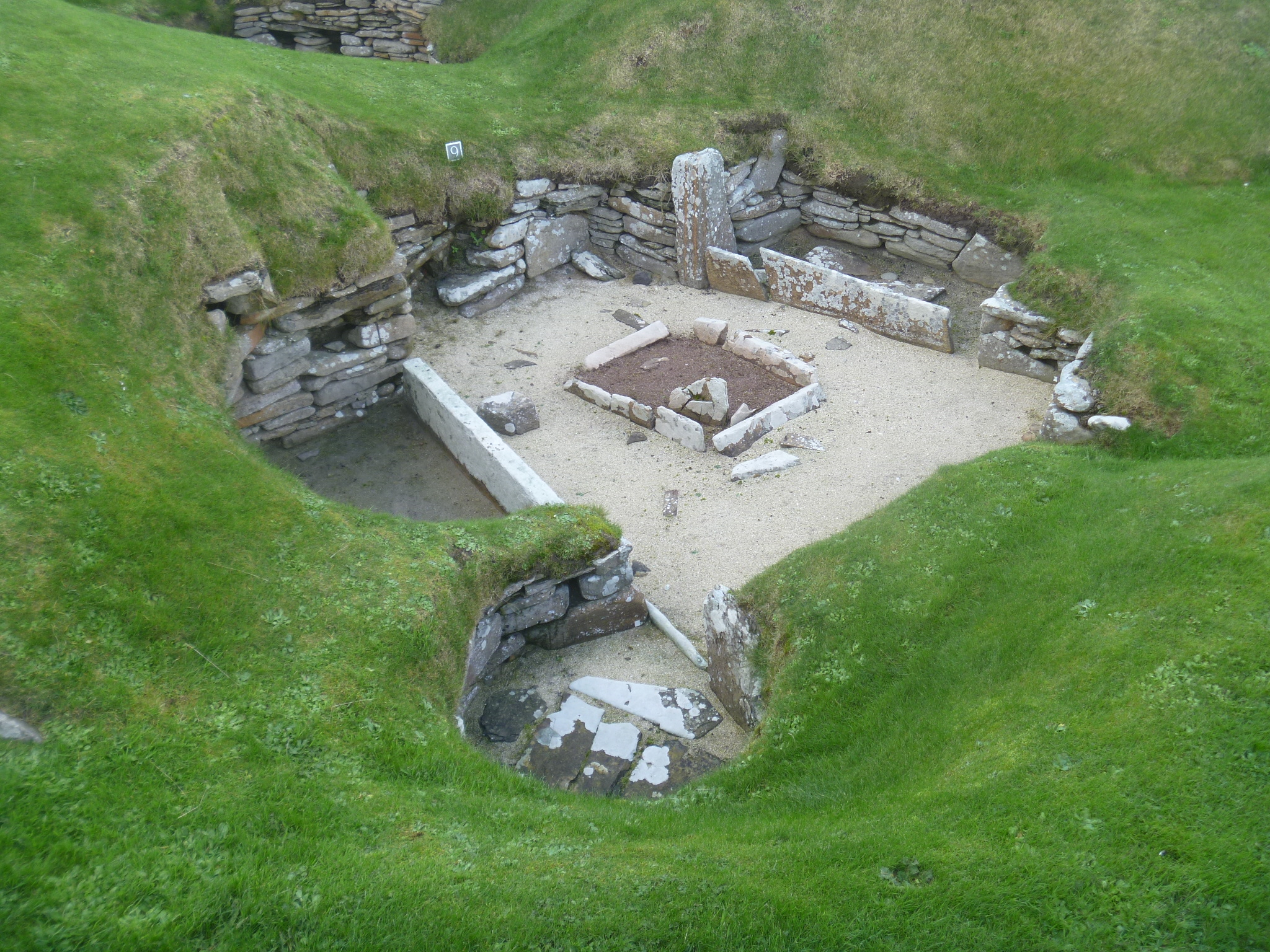
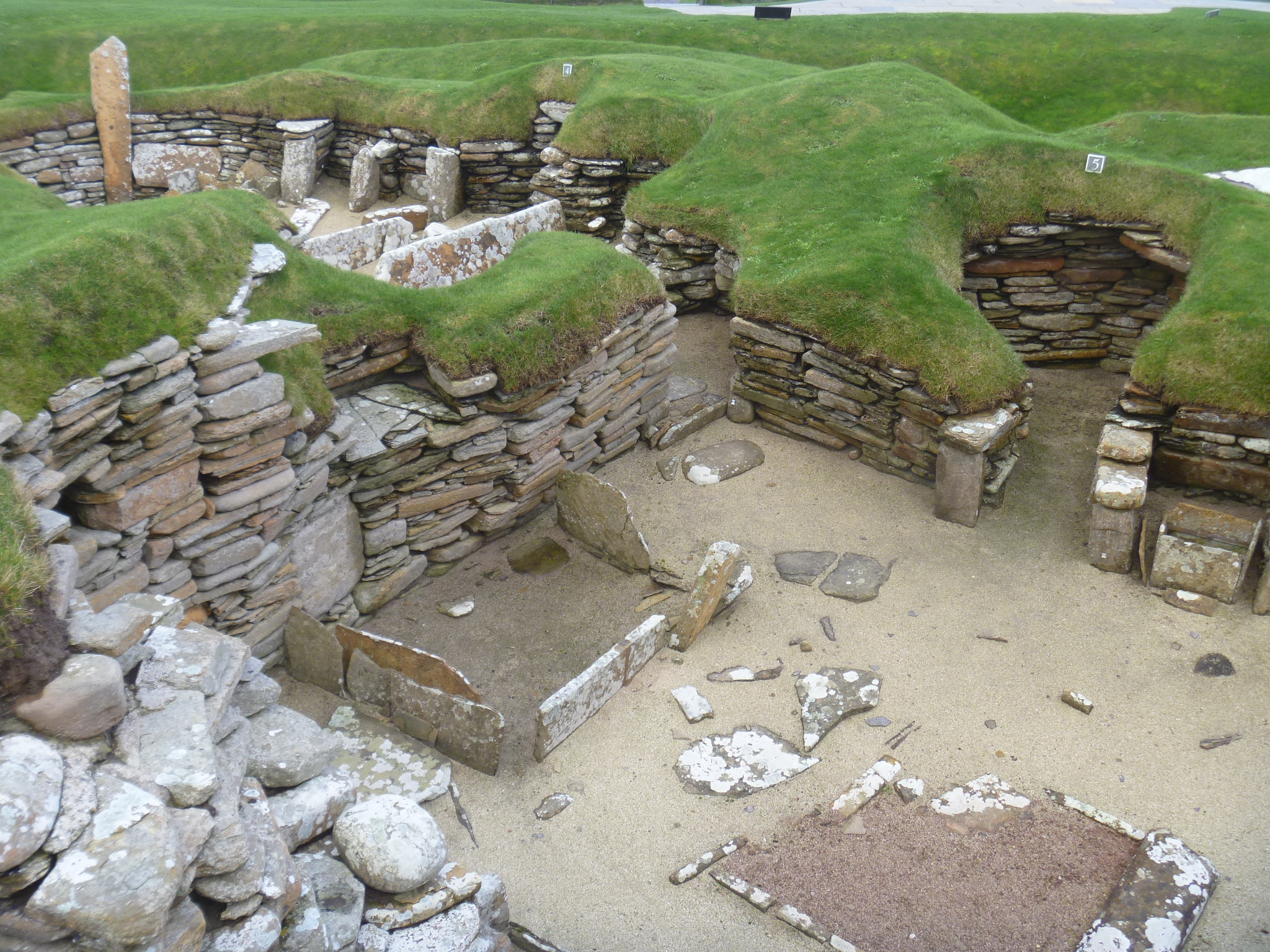
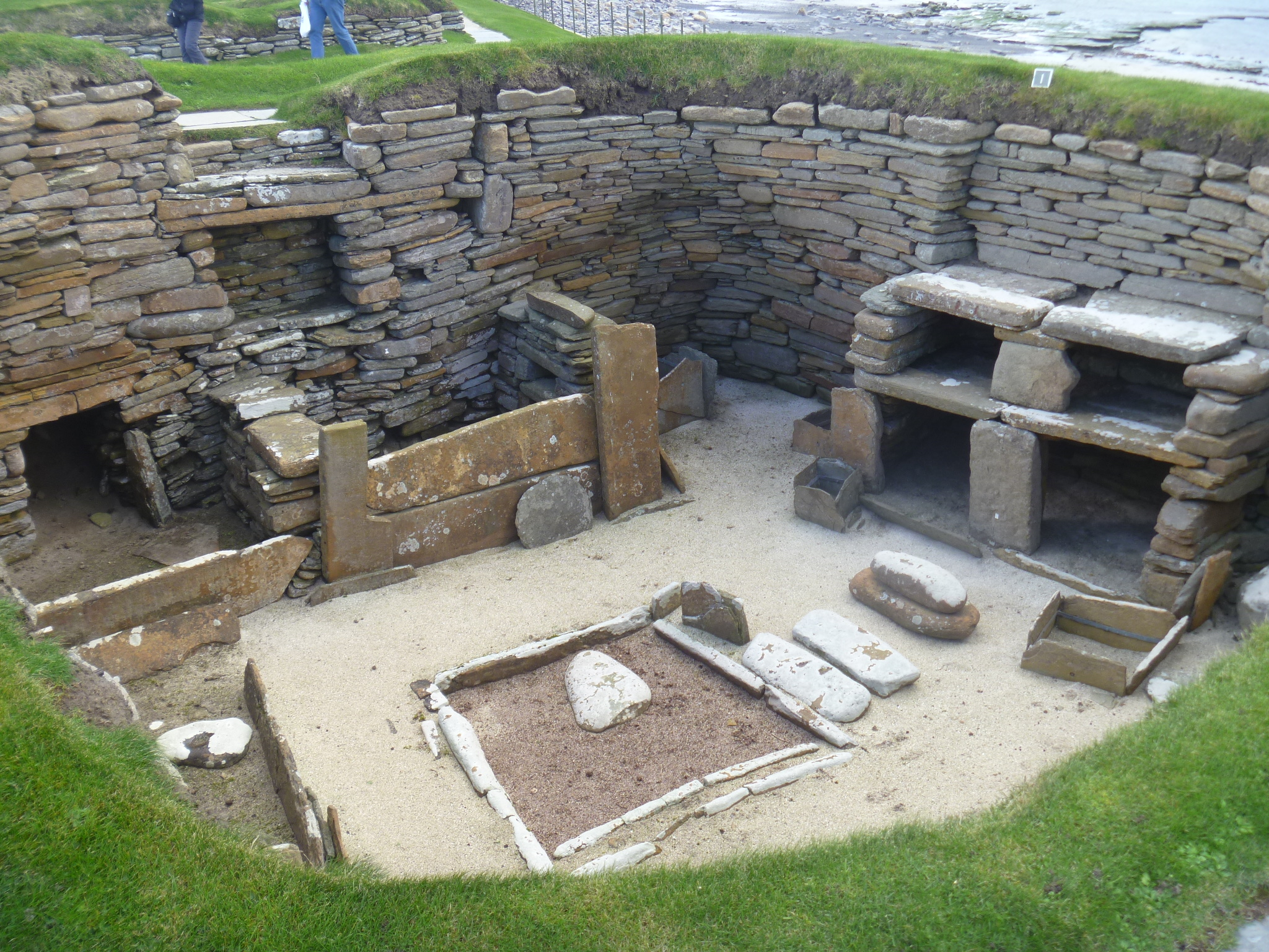
 For ancient ruins, the Megalithic Portal provides detailed maps, descriptions and photos of ancient sites that can be visited all over the UK. We used this site to find stone circles and carved stones to visit.
For castles and historic sites, Historic Scotland is wonderful. We bought an annual membership and then used the member guide to visit places all over Scotland, even in the Orkneys. The guide suggested places along our routes that we would never have known about otherwise.
For birds, fatbirder.com, or
https://www.rspb.org.uk (Royal Society for the Protection of Birds (that is, wildlife)
There are several other websites that record recent sightings and good places. I like the British Trust for Ornithology
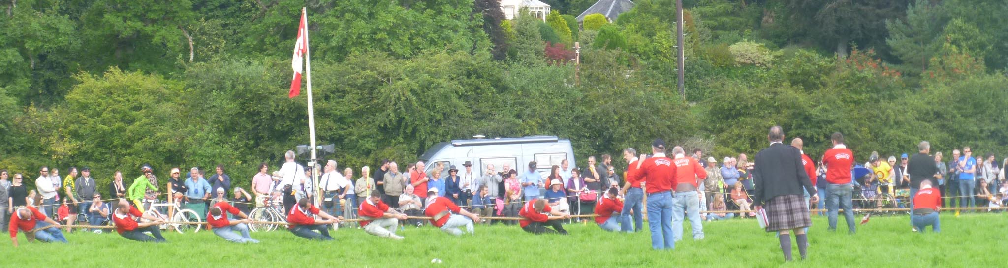
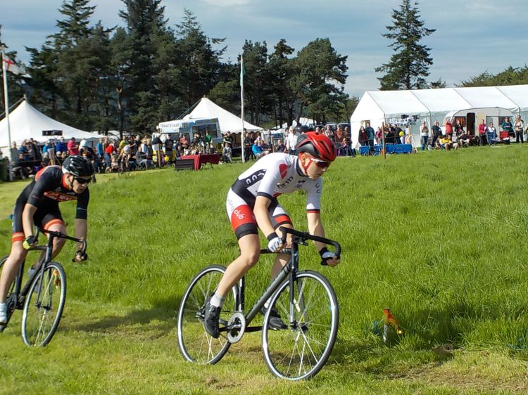
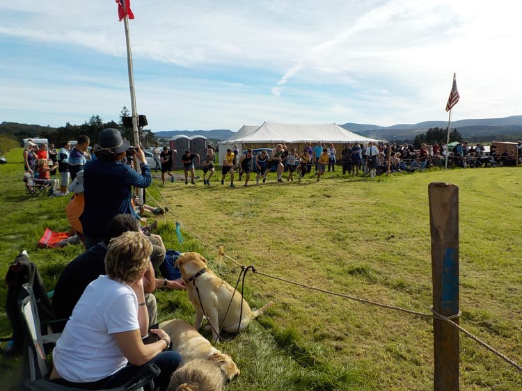
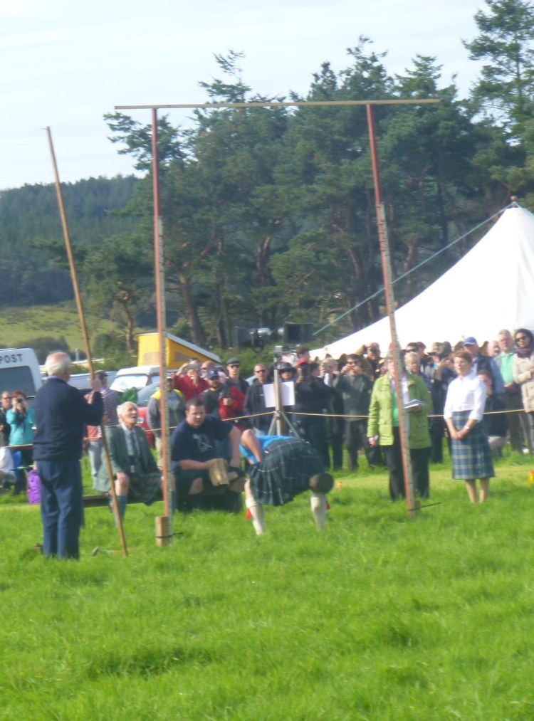
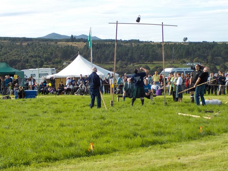
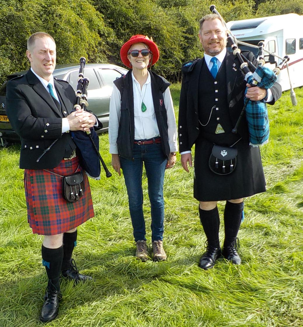
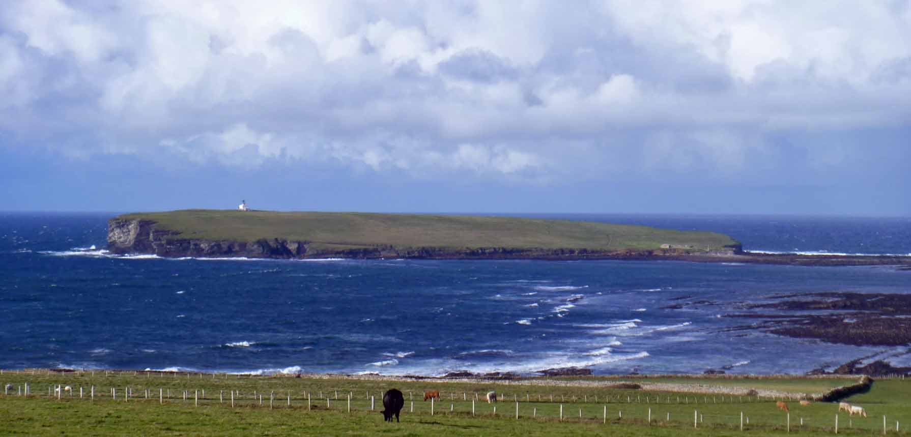
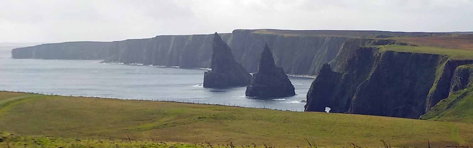
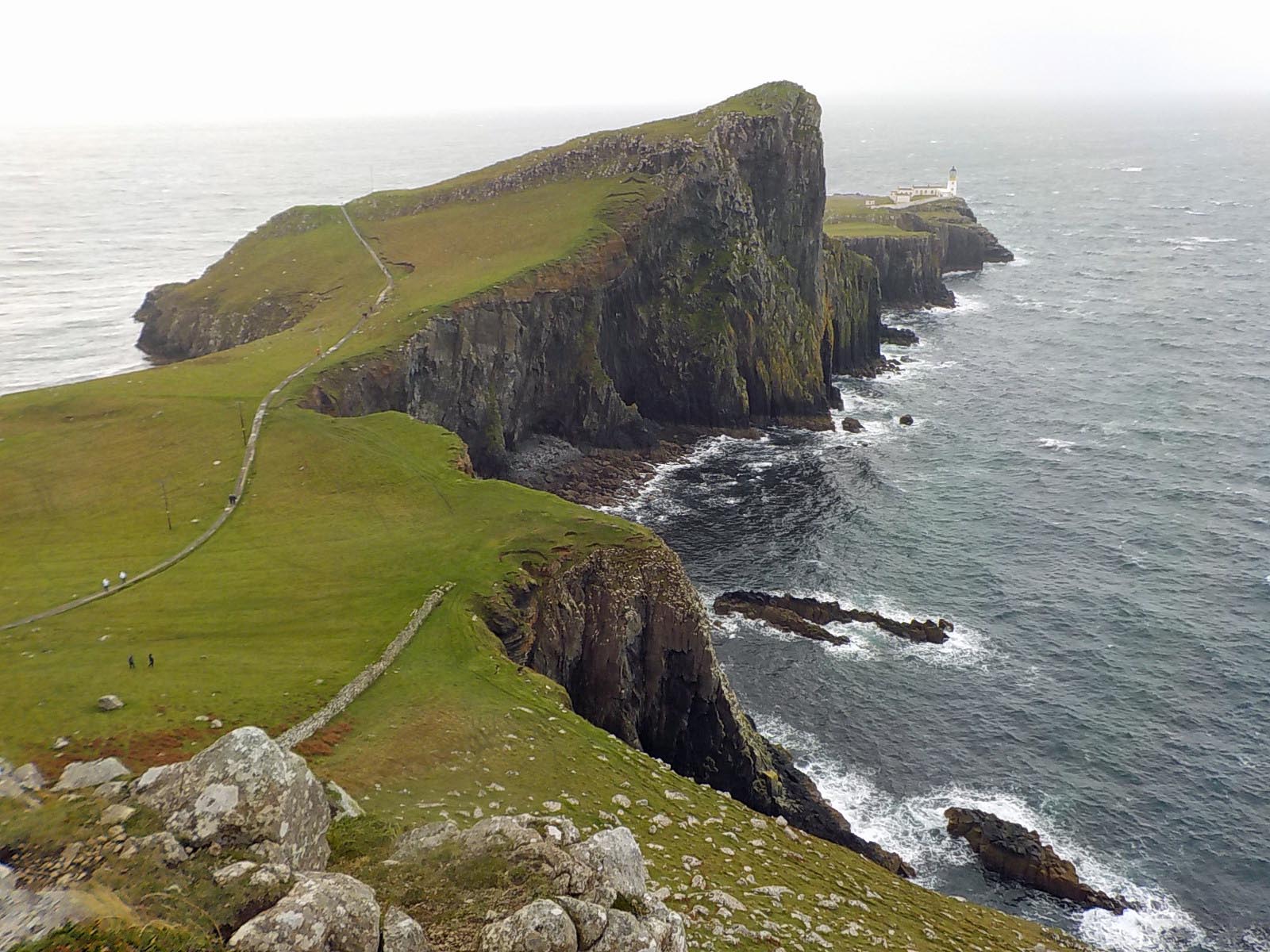
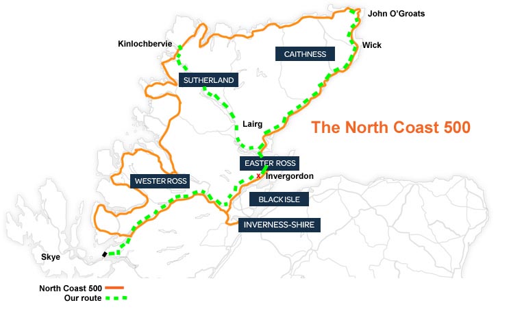
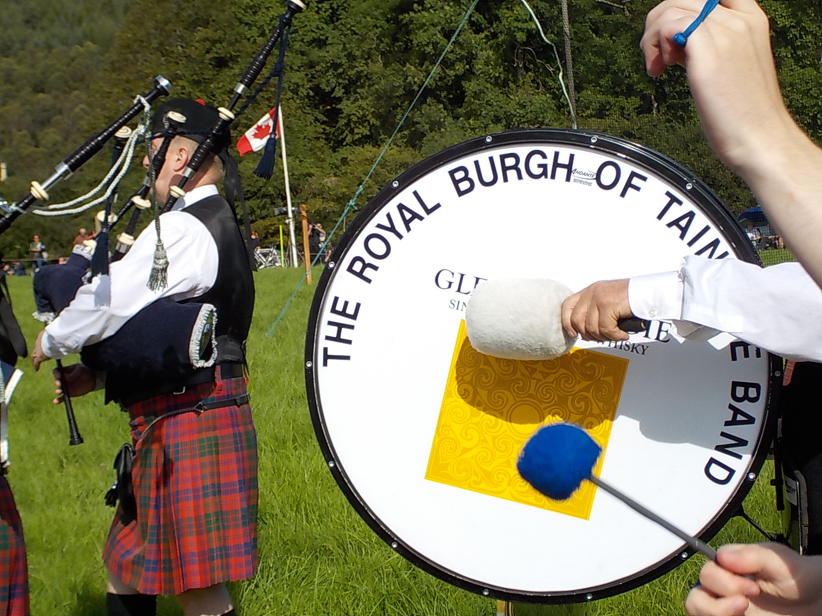
Check into local festivals by looking at the community web page if there is one, or look at posters on walls and utility poles. We got to a few, but missed others. We went to a local agricultural show (The Stewartry Show), a bit like a county fair, complete with animal judging. The sheep races at Moffat were associated with a monthly market day in the summer. 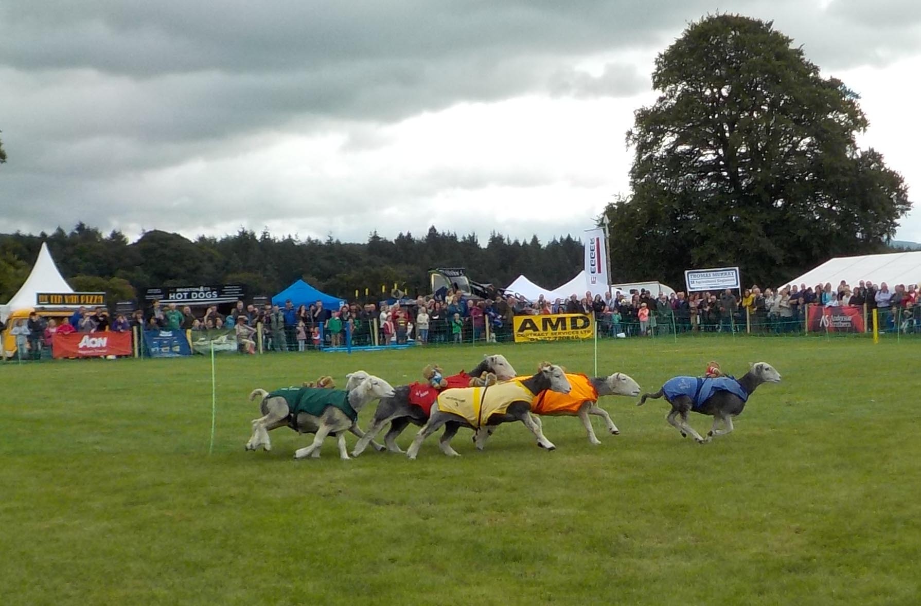 We saw the annual fair (Civic Day) for Dalbeattie, where we stayed in the south of Scotland, complete with parade and music. We missed the Kirkcudbright fair that included “riding of the marches,” a traditional horseback circuit of the local boundaries. We saw Highland Games, and a local music night, though we missed both the Edinburgh Tattoo and the Kirkudbright Tattoo. Just before we left, we heard about an event that would have been fun (we were in the Orkneys). Avoch, on the Black Isle outside Inverness, has a regatta for St. Ayles skiffs, four-oared rowboats. The man we chatted with on the beach was helping two of the boats land, but said they’d had 14 of them out the previous day. You can’t get to everything, but you should definitely try something off the main routes. We skipped both Stirling Castle and the Culloden battlefield (Gasp!) but enjoyed many other smaller, less crowded places. We enjoyed Skye but found it very crowded when there are so many gorgeous spots in Scotland that are not bursting at the seams with people. Southern Scotland as well as the west and north coast of the Scottish mainland are less visited and have a lot to offer.
Driving
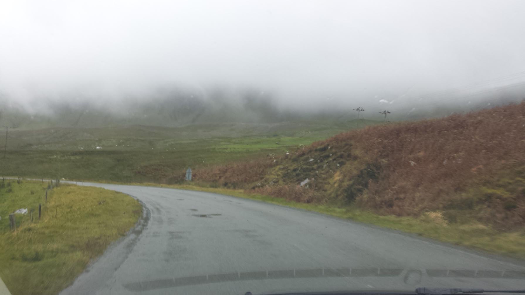
If you plan to drive in Scotland and haven’t driven on the left previously, I strongly recommend taking a driving lesson. Jonathan and I took one hour each with a driving instructor and benefitted a great deal from it. We also drove observantly, looked out for one another while trying not to shout at each other very much (Ack! Too close!).
 Driving in Scotland is more difficult than driving in the US. Everything is narrower, you are required to maneuver in and out much more frequently than in the US, parking spaces are narrower and the space to back out of a parking space is smaller than in the US. In the UK you are permitted to park facing against traffic and it can be confusing. Roads are narrow and often lined by stone walls and hedges. There are often no shoulders, or worse, where the pavement drops off several inches if you get too far to one side. Many rural roads are a single lane with “passing places” meaning you have to pull to the side if someone is coming, creating an eternal game of chicken.
There are national speed limits with lots of posted exceptions and there are many, many speed cameras. We decided to go the speed limit all the time to avoid problems like tickets arriving in the mail out of the blue. We made it through about 10 weeks of driving with only a minor paint scratch that I believe was done by another vehicle—I don’t recall it happening. Overall, be careful, don’t ever hurry, and always check behind you before you back up.
Language
Scotland is wonderful. They speak English, which is a great convenience for native English speakers, despite George Bernard Shaw’s cautionary description, “England and America are two countries divided by a common language.” I don’t find it difficult to understand people when they say lorry for truck, queue for line, garden for yard. New ones this trip ore “toilet roll” for toilet paper, “squash” for juice-type drink. There are many others.
What obscures communication for me is a distinctively Scottish accent. Most people use their “school,” or “tourist” accent with us, so it’s not usually a problem. A charming neighbor wished us well when we left by recounting the story of a traditional saying “shall there always be smoke in your chimney,” though we couldn’t understand any of it when he repeated it to us in Scots.
My favorite word here is “wee”. It means a lot of different things, something small or not small, such as a wee dragon; a brief period of time or a long period of time, like “a wee while” describing a long wait; short stature such as a wee lad six feet tall playing in the Highland Games; and the famous “wee dram,” of whisky, actually an uncertain quantity. There’s great humor and irony in this single word. It’s also used seriously in all those contexts, so when something is described as “wee,” I have to listen up.
Food
 Scotland has excellent dairy products including interesting cheeses, and very fine meats not limited to haggis and black pudding. Both of these latter can be good if cooked properly. Home cooking is not fancy, usually meat, potato and veg. Dessert is called pudding, and can be very enticing for those with a sweet tooth. In addition to traditional English desserts like bread pudding, sticky toffee pudding, Eton mess, and fruit cake, there is cranachan, a combination of fruit, honey, crumbled sweet oatcakes and crowdie, a cross between finely strained cottage cheese and cream cheese. It sounds strange but can be delicious. There is also athol brose, which you should try if you ever get a chance. Again, it sounds weird to mix oatmeal, cream, honey and Scotch whisky, but I can attest to its being delicious and possibly lethal.

We found a new meat product being offered in stores, called hogget. Stores were vague on what it was other than not lamb and not mutton. In fact, it is young mutton, and producers claim it is delicious. We ended up leaving our lovely hogget roast behind because we ran out of time to cook. Technically, hogget is lamb that has lived over a winter, thus the animal is 6-12 months old when slaughtered. Lamb is younger, mutton older.
Last Thoughts on Scotland
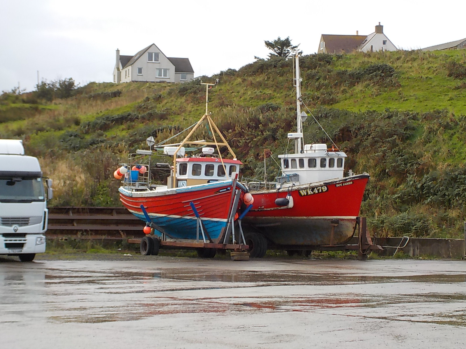
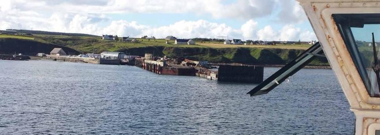
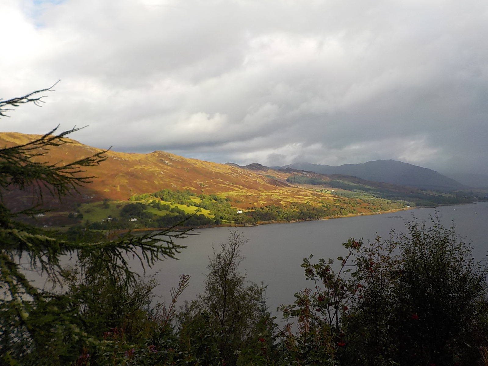
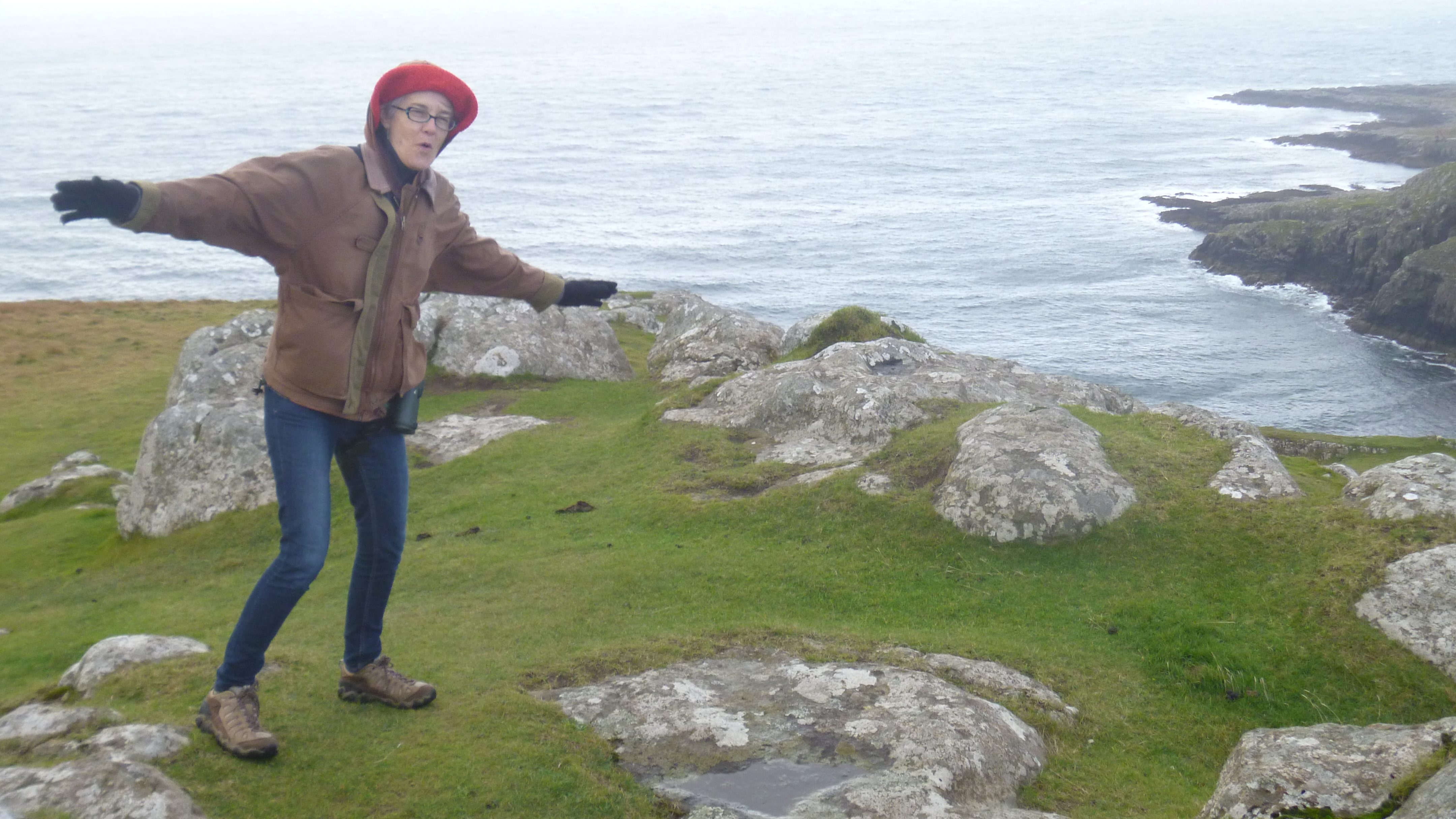
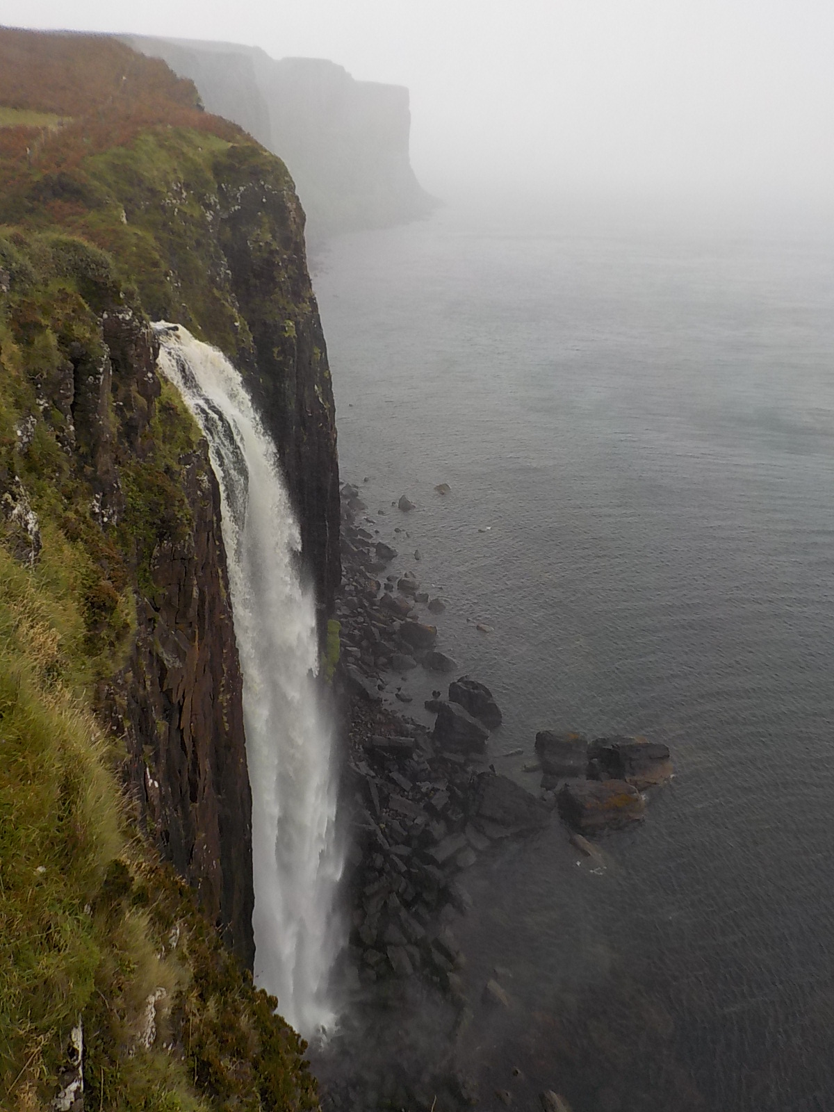
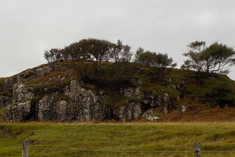
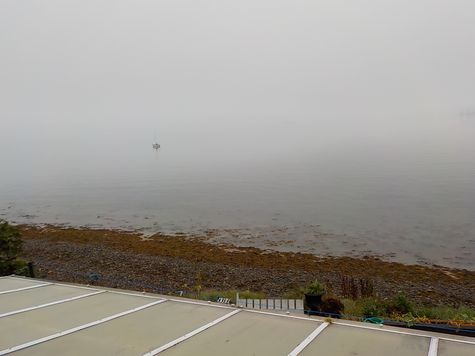
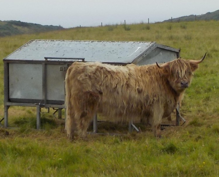
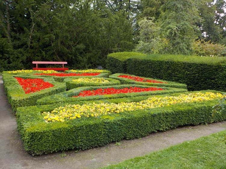
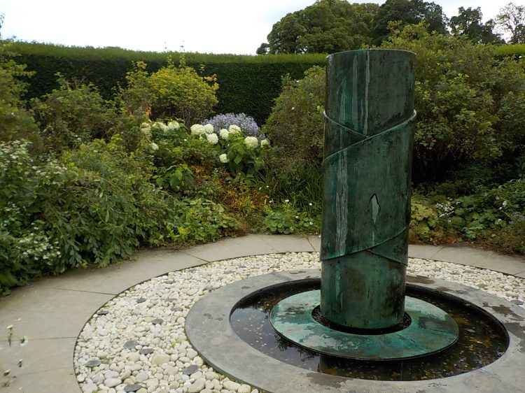
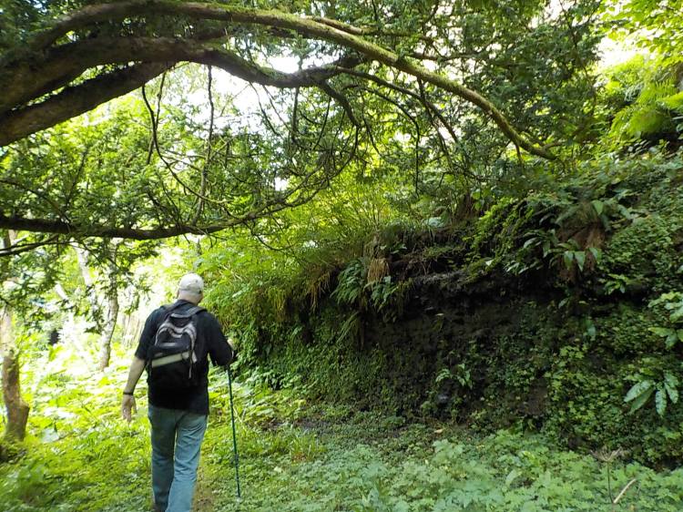
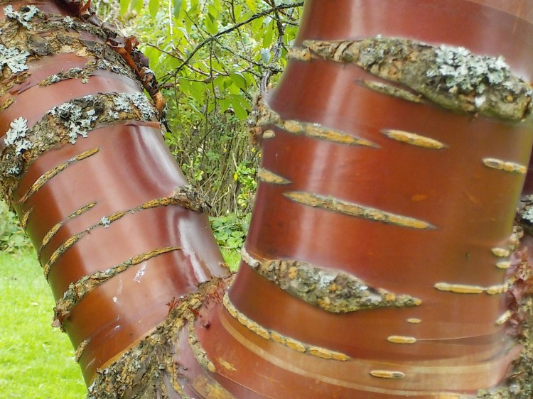
We had a lot of fun and kept very busy. Below are a few last photos I like.


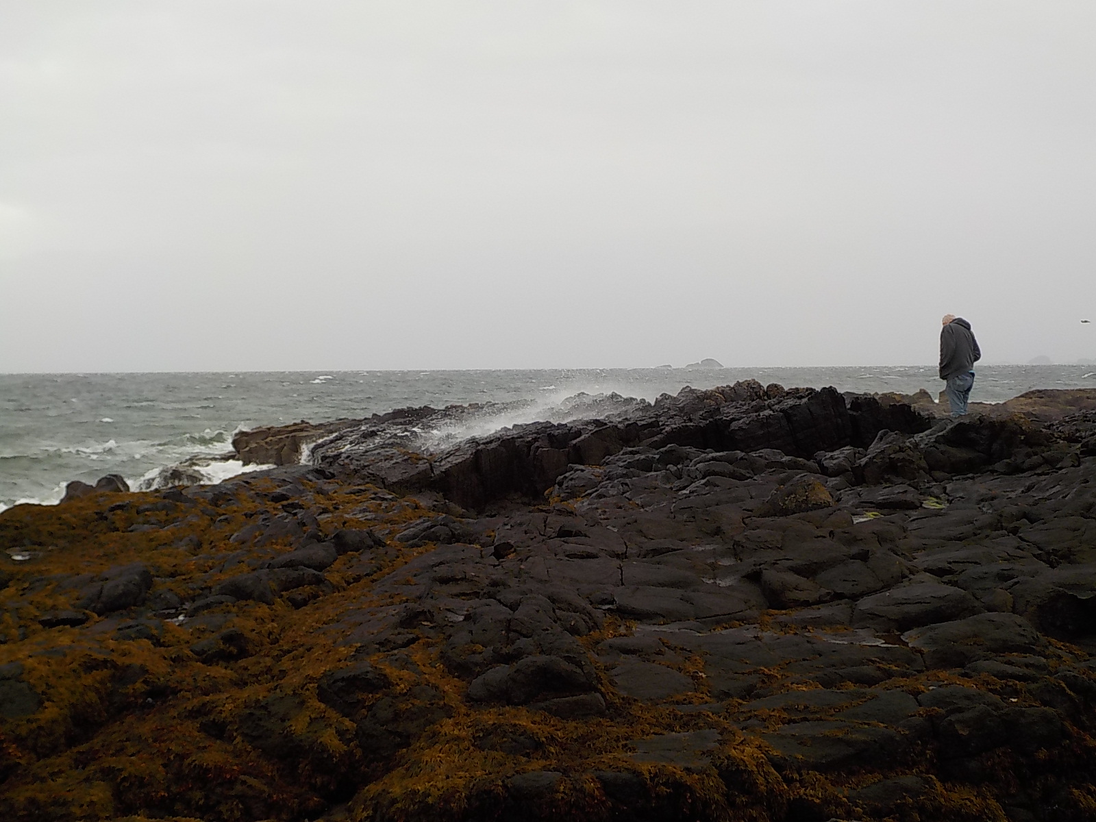
 My beachcombing.
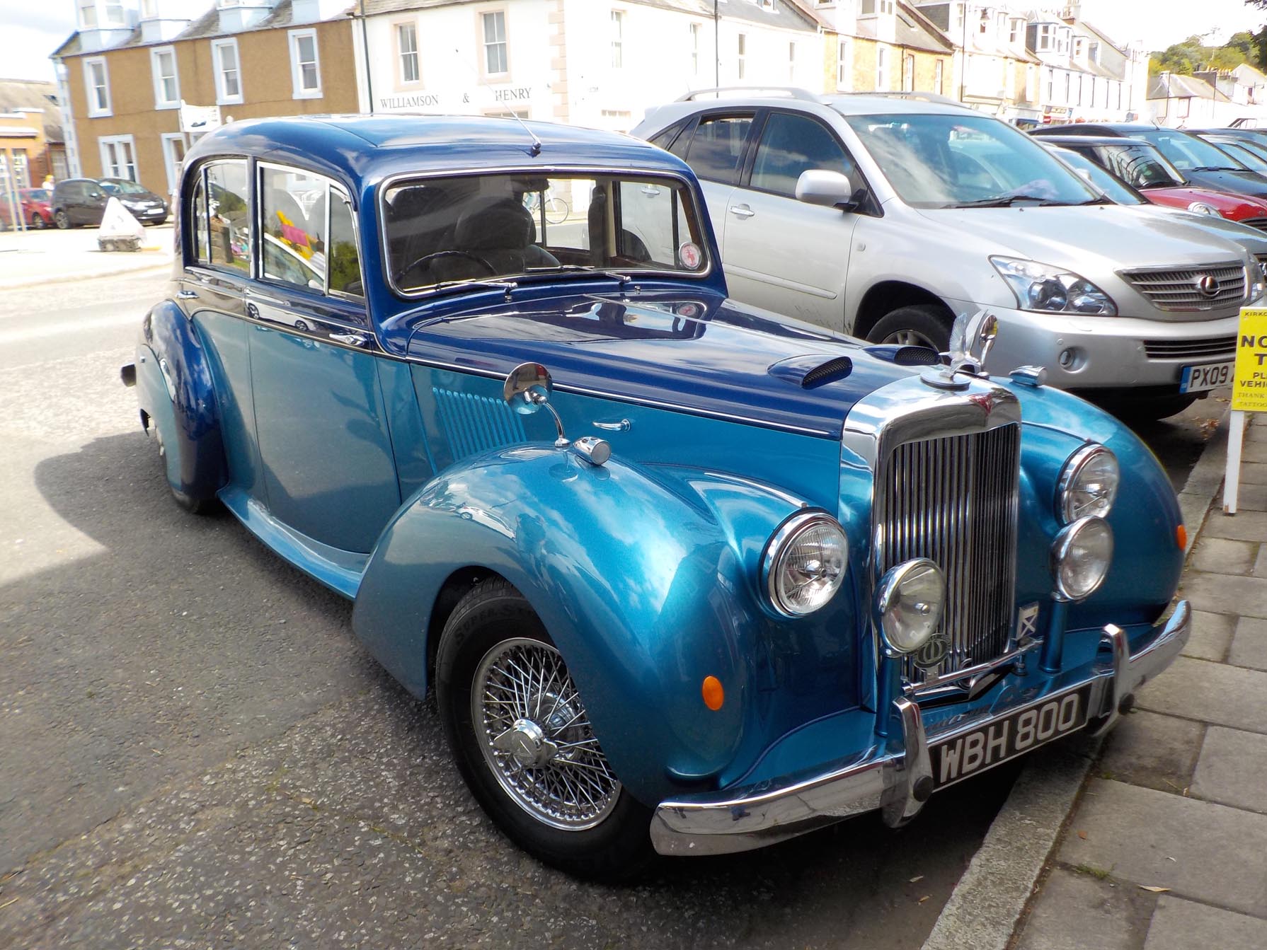 Lovely antique car in Kirkcudbright.


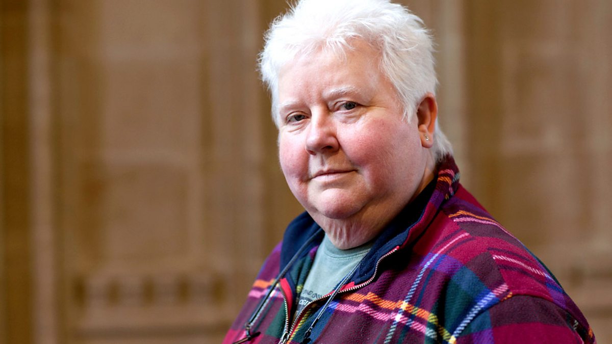 This is particularly interesting because McDermid is known for having a lesbian detective protagonist. Her invitation to be this year’s Chieftain of the games shows a level of openmindedness and respect for personal achievement that’s admirable in rural Scotland as it would be anywhere. I’ve started reading her books, it’s always a pleasure to find a new series.