Getting to the Orkney Islands

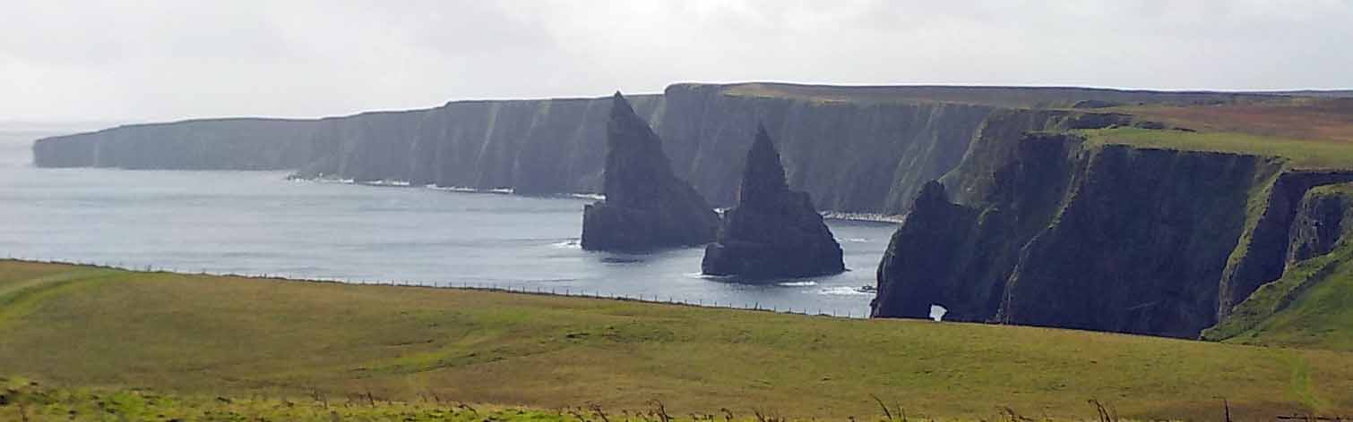
We saved some of the best for last, and after one night in Invergordon after our trip to Skye, we set off for the Orkney Islands. We were advised to check and make sure the ferry was running before leaving home, and found that the first ferry was cancelled due to high winds. The wind and rain was supposed to abate by 1 pm–our ferry was scheduled for 1:30 pm, so we decided to go ahead and go. Part way along we managed to connect with the Pentland Ferries site and found our trip was scheduled to go as scheduled. 9-29-16-duncansby-stacks-005smWe left Invergordon a bit early to fit in a scenic detour to the Duncansby stacks, a couple of wildly sculpted rocks just off the lighthouse beyond John O’Groats. It’s possible to hike about 3/4 mile to get close to them, but the wind and rain deterred us.
The ferry was a bit late and the ride a bit bumpy, but we made it safely to Orkney. We saw a flock of eider ducks flying by, and gannets. One seal popped its head out of the water to have a look at us, but no whales.
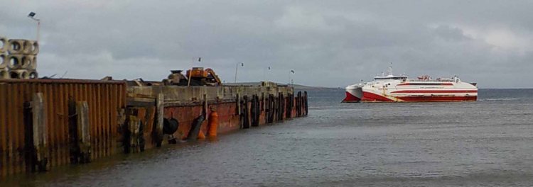
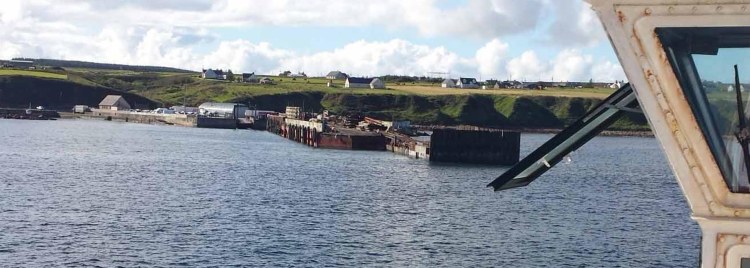
The ferry leaves from the town of Gills, and lands at St. Margaret’s Hope near the southernmost point of the Orkney mainland. We purchased our tickets online ahead of time (one ticket for each of us and for the car R/T £140). Once on dry land, we worked our way north across the Churchill barriers, causeways built of huge cement blocks that were installed after a battleship was sunk in Scapa Flow, the huge natural harbor here. Despite the great motivation behind the project, it ended up being christened a few days after the war in Europe ended. The Churchill barriers connect two small islands with the mainland. Roads in Orkney were narrow, but in better condition than those we recently experienced on Skye. We stayed at The Foveran “food and rooms,” and had dinner there both nights. It was very comfortable and not far from Kirkwall, convenient if you have a car.

More on the sights on my next post.
The Isle of Skye

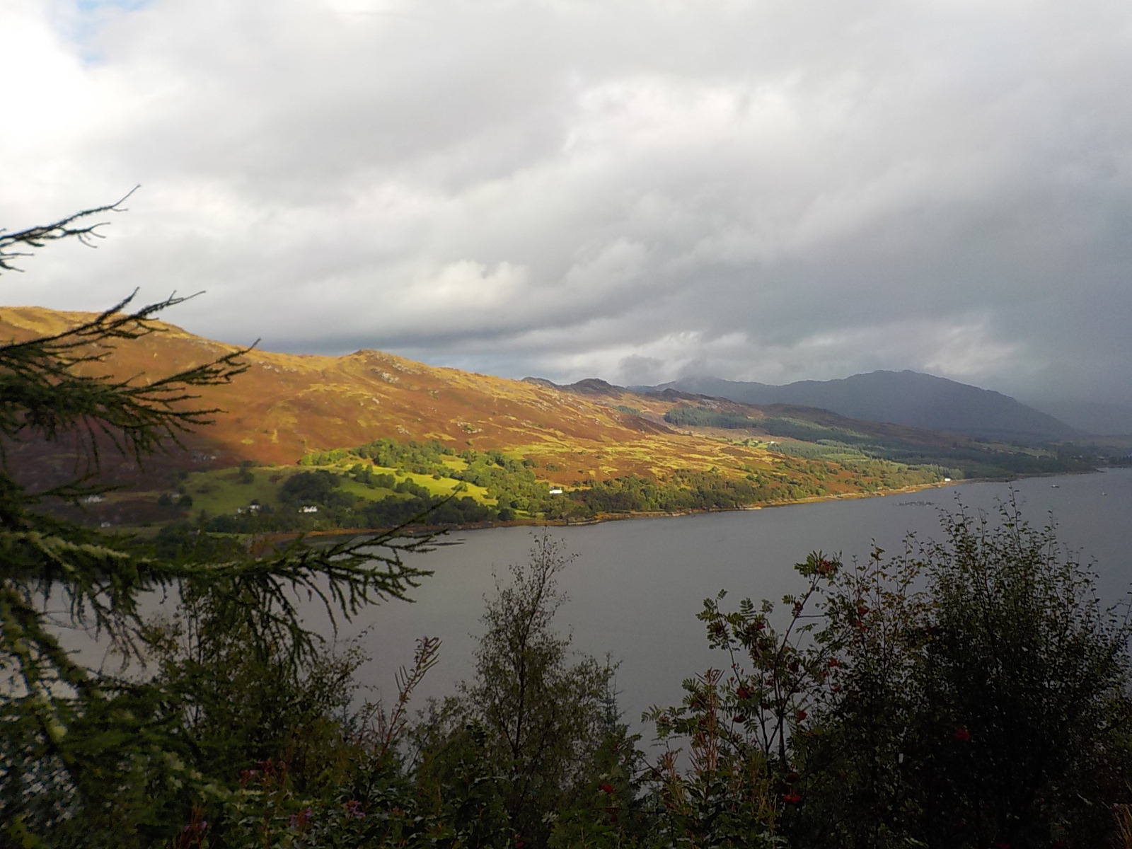
Skye may be the best known island in Scotland, though there are partisans for every island. We decided on a brief visit. You can go for the day from where we are, but it would be very long, so we settled on an overnight, with just two days of touring. 9-26-16-route-to-skye-001This photo depicts the weather for our visit–some sun, with rain coming or just past. We went south to north and clockwise around the island.
9-26-16-broadford-skye

Broadford was our first stop for late morning coffee and a peek at the beach for both birds and beachcombing.


9-26-16-fairy-pools-skyeNext stop, a short hike to a series of waterfalls and clear pools called the Fairy Pools. The mountains in the back are the start of the Cuilins, the highest on Skye.9-26-16-fairy-pools-skye-004No pool pictures because my camera battery died. (Note to self, always carry phone as backup.)

9-26-16-dun-beag-broch-003

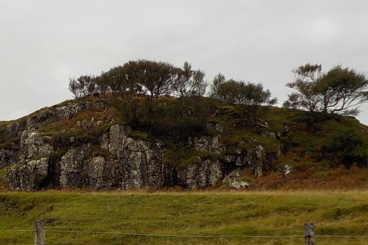
From here we saw the circular hill fort (called a “broch”) at Dun Beag. This fort lends its name to the nearby town of Dunvegan where our B&B was located. We had a beautiful view over Dunvegan Loch from our window.


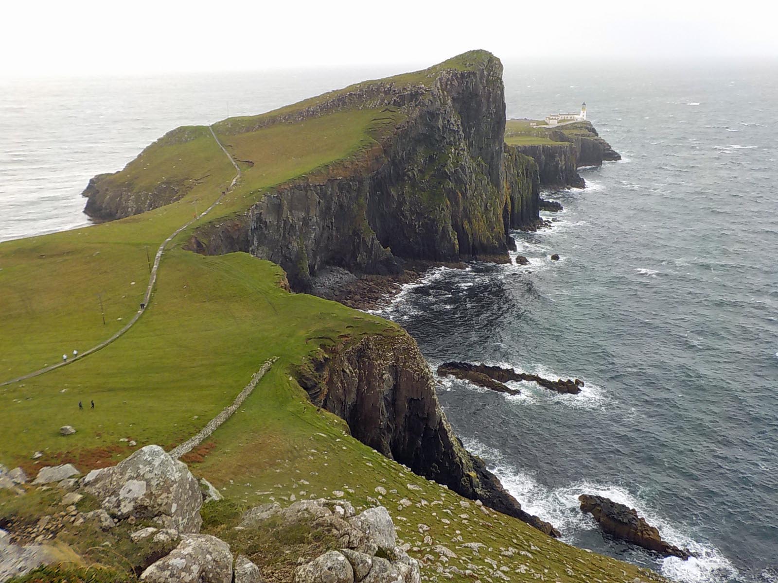
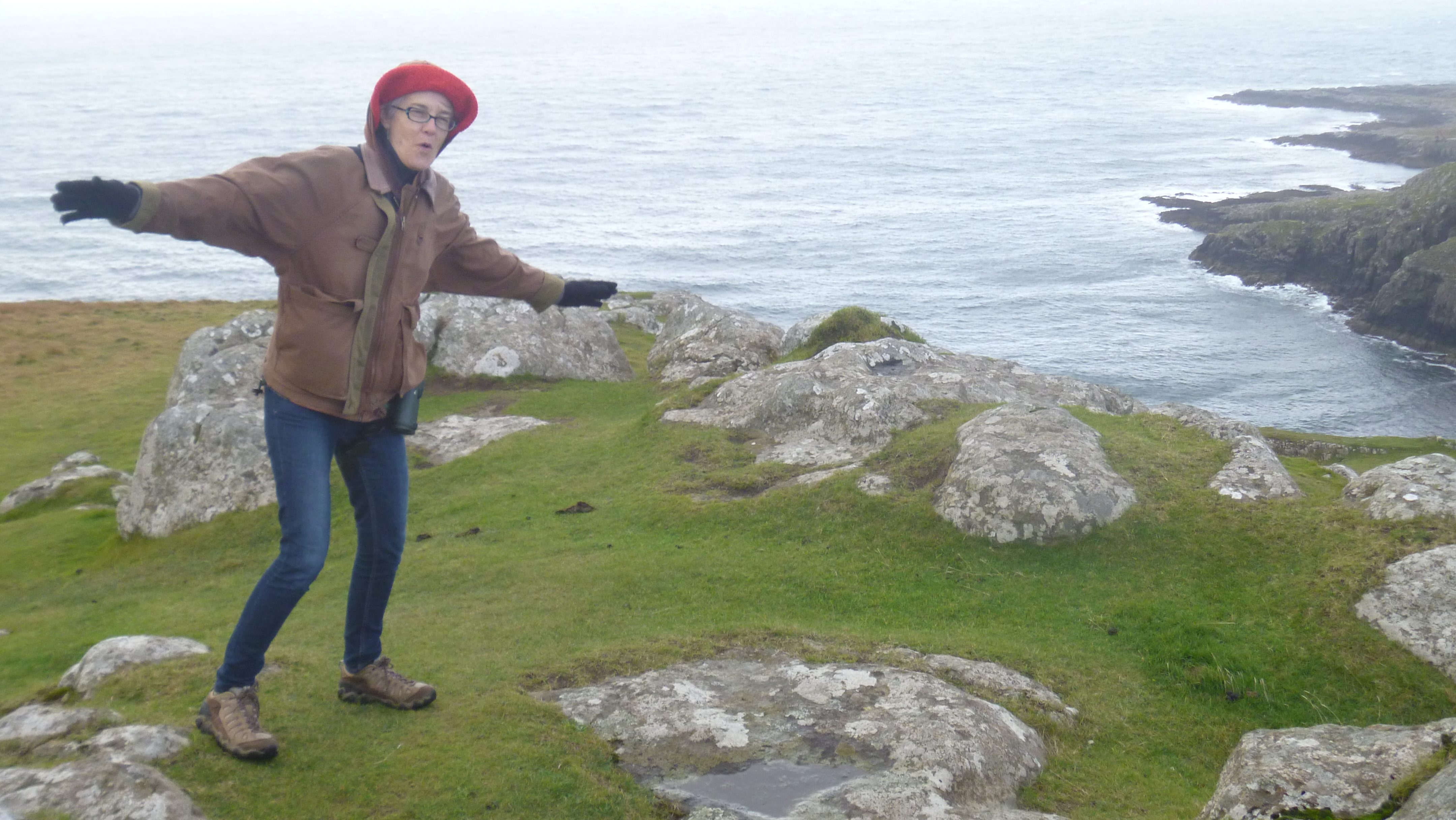
The sun was not as cooperative the next day, as we continued around the island. We saw Neith Point, an impressive setting, but we didn’t hike the path to the lighthouse because of the gale.9-27-16-neist-pt-lighthouse-0089-27-16-neist-point-lighthouse-001It was seriously windy. My hat is held down with my hoodie. It wasn’t even raining yet. That came later.


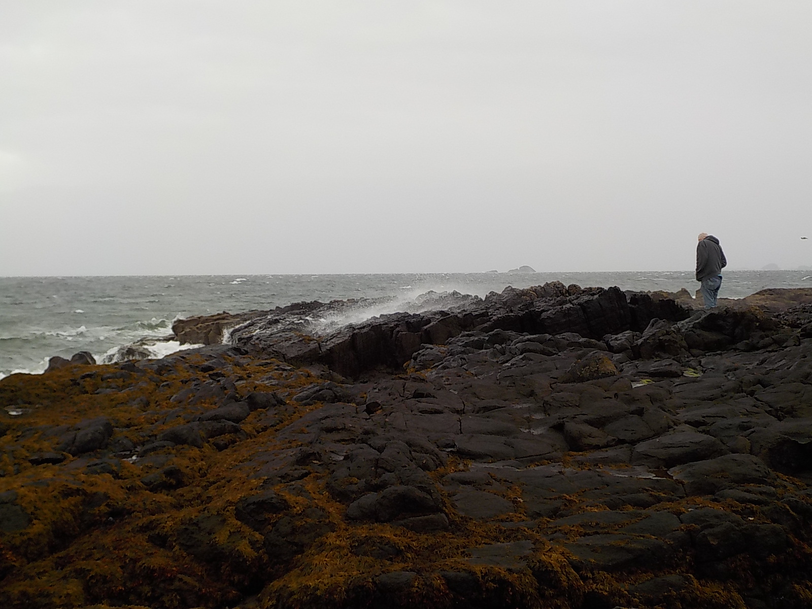
9-27-16-bornisketaig-beach-015Despite the onset of rain, we stopped at Bornisketaig beach, where Jonathan stood in the spray.

9-27-16-kilt-rock-001


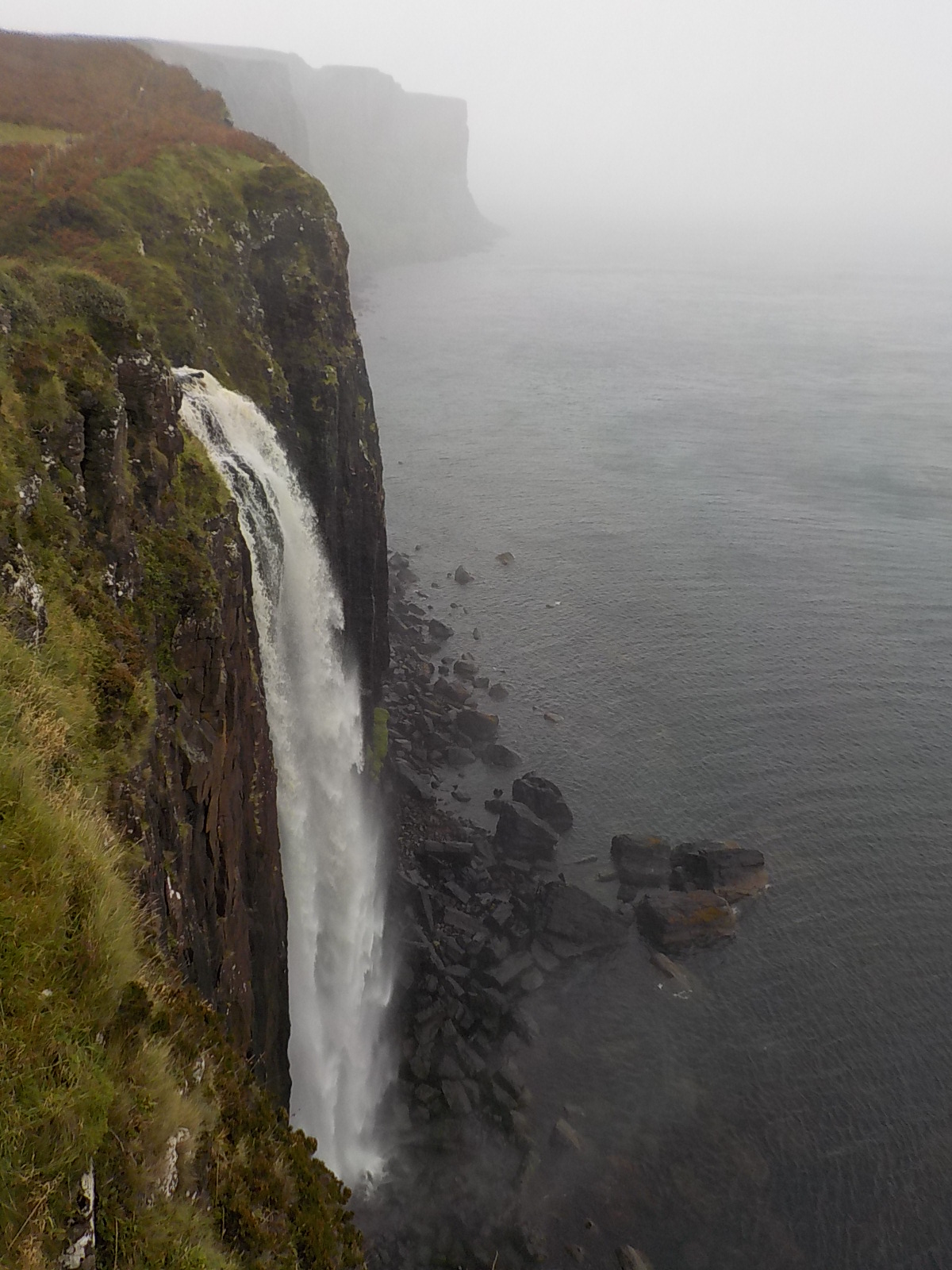
By the time we arrived at Kilt Rock, it was pelting rain sideways. One side got wet while we were rushing from the car to the overlook. The other side got wet when we rushed back to the car. The waterfall was gushing full force. Skye seems to have lots of water right now.


9-27-16-old-man-of-storrThe Old Man of Storr was the final sight on our loop, but was totally obscured in mist. We saw it, but as gray ghosts, not as black pinnacles.

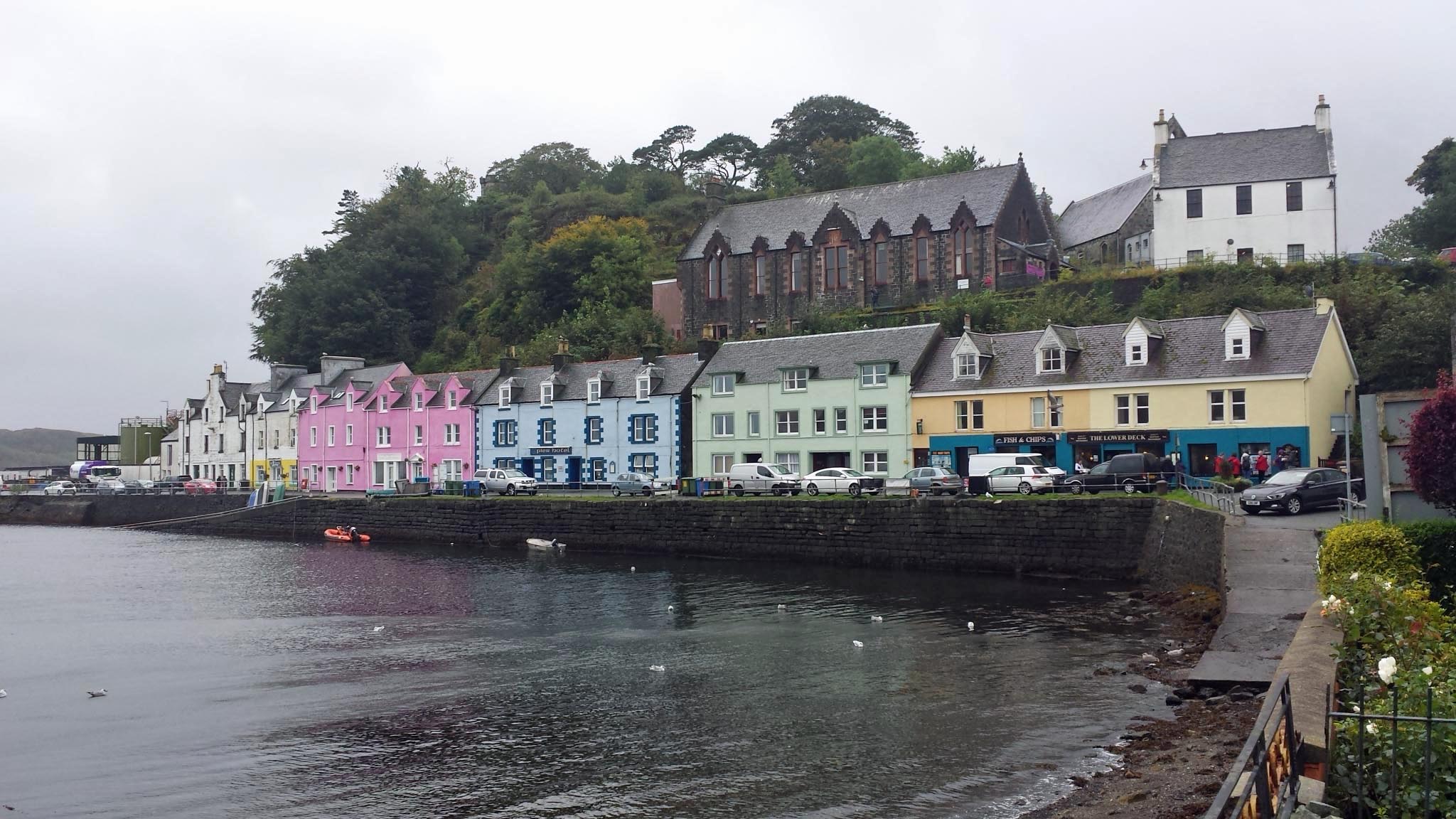
9-27-16-portree-003 9-27-16-portree-005On the bright side, the rain abated in Portree, where we saw some of the lovely town and harbor.

From here it was time to head home. We had a wonderful visit, however short.


As always, I have a few comments about Skye. Our experience, backed up by our B&B host is that reservations are essential. We had a reservation for a place to stay and for dinner before we went and both places were full when we arrived. Skye is full of small B&Bs, some of them very remote, and most we saw, even on a Monday night in late September, had “No Vacancies”.

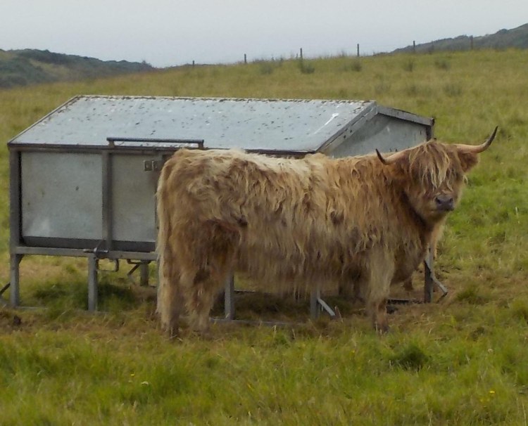
Roads on Skye are often one lane and in poor condition. We shared the road with sheep and the occasional cow which I didn’t mind as much as the large trucks.

Just because roads are narrow and you don’t see anyone doesn’t mean no one is there. We had what has become our typical Scotland experience. You get to the end of a long winding, single lane road and the parking lot is full. The Fairy Pools had a full lot and cars parked along the side of the narrow road on a steep hillside. There just wasn’t anywhere else to stop. There were at least 50 people on the trail at any given time, most of them not Scottish, or even English. Americans and Japanese seemed to prevail, though everyone was there.

There are wonderful sights, crowded or not. Here are a few of my favorites:

Skye is a lovely place, but you could have as good a visit with far less crowding further north along the coast (see my post on the North Coast 500).

The North Coast 500

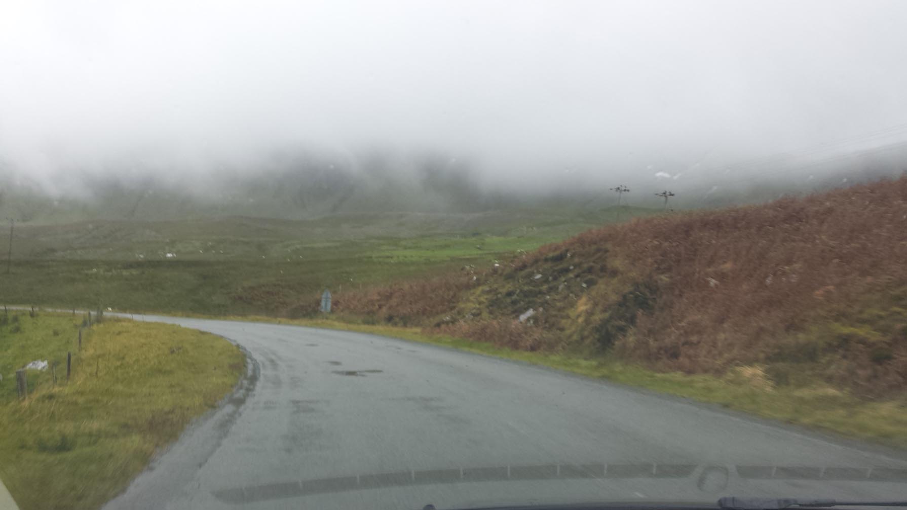
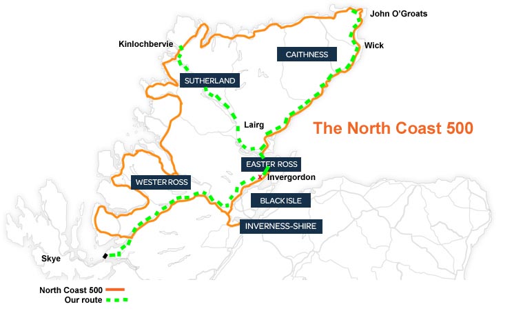
There’s something I would not miss on my next trip to Scotland, but I just can’t do it this time, and that’s drive the entire North Coast 500. landingmap-modifiedThere is nothing new about this 500 mile circumnavigation of the Highlands other than marketing, but having driven the portion of the route that we can reach from our base in Invergordon (marked in green), I wish we could make it all the way around. We will have been up and down the eastern section twice, once to visit Wick and the Old Pulteney Distillery, and again to get to the Orkney Ferry from Gills, by John O’Groats. We will be driving the southern portion on our way to Skye the day after tomorrow. We visited Lairg very early in our stay here and have been back to that area for the Highland Games. This week, we pushed on to the far northwest coast. When we emerged onto the coast road at Laxford Bridge there was a great sign:north-coast-signWe made our way to Kinlochbervie (north coast), and had a picnic by the water. There aren’t cafes overlooking the ocean here, though you can see the Atlantic across the bay and around the nearby islands. 9-22-16-loch-shin-to-kinlochbervie-005The day of our visit, it was absolutely gorgeous weather, sunny all day. Why not put houses right out there on the water? I think it’s because that’s the OCEAN out there, the serious roaring-gale ocean during much of the year. It is sensible to put your houses and town in the folds of the land where wind and waves can’t get at them directly. We were there on a one in 100 day: mild temperature, calm water, bright sun. 9-22-16-loch-shin-to-kinlochbervie-006The coast is full of islands and inlets. I wanted to follow the coast all along the route. Once we were in Kinlochbervie, I wanted to go further north to Oldshoremore and then Durness. I also wanted to turn at that tempting sign “West Coast” and visit Scourie, Drumbeg and Lochinver. It would be easy to spend a couple or three weeks visiting all the great-sounding places on the map. Maybe even take a boat ride to the island of Handa. All too soon, we had to head back. 9-22-16-loch-shin-to-kinlochbervie-012The landscape changed back from rocky outcrops, heather, bracken and gorse, to green fields and sheep. The only down side to our wonderful excursion was the road that crosses Scotland NW-SE. It’s just under 50 miles from Lairg to Laxford Bridge and this major road looks like:

Yes, it’s a single lane. There are lots of pullouts, true, but it’s a one-lane road. We followed a deer in one place. The good news is that the actual North Coast 500 is all at least one lane each way–much easier, once you adjust to driving on the left, that is.

Not only did we have a beautiful drive and a picnic on the water, but we pulled in by a sign for a bird hide to have a look. The chirping of birds was so loud I thought it sounded like a recording….It was! We met a group catching birds and checking their band numbers or putting a band on them if they were unmarked. They had three redpolls and we saw two more in their mist nets. 9-22-16-loch-shin-to-kinlochbervie-002After checking their legs for bands, they pop each bird in a cloth bag for weighing, then let them all go at the same time because they are a flock and would be disoriented to be let go individually. It was fascinating to see, and the data on birds that is collected goes to the British Trust for Ornithology that coordinates all the collected information and uses it to study the survival of species in Britain and Ireland, as well as collaborating with EU-wide studies. (Banding birds is called “ringing” in the UK.)

British Trust for Ornithology

Here’s a close-up photo of a redpoll from the web. It’s an LBJ (little brown job) with a dark red spot on the head.

https://encrypted-tbn0.gstatic.com/images?q=tbn:ANd9GcRVPDL2Fyx6u1_A_vaXMfthykhcHXJVnLrFiwEJg21dhVW1Fuii

It was another great day.

Watching fall come in

Yesterday were were on the beach at 1 pm and the sun was slanted across the sand as though it was late afternoon. Today it’s the equinox. Time sped up lately, since the last I remember the sun barely set by 10, or was that 8:30pm? Birdwatching is more challenging, too. I turn my head at a slight movement in the woods, but it’s not a bird, it’s a falling leaf.

The weather varies a great deal now. Here’s perfect afternoon:

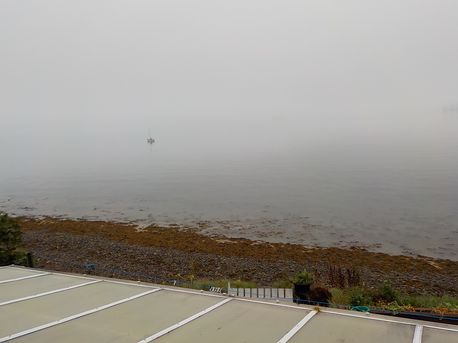
9-16-17-saltburnHere’s the next morning (note the moored sailboat center left in both photos):

9-15-16-saltburnHere’s the full moon over the oil rig.

9-17-16-full-moon-over-oil-rig-003smWe’ve been doing some cooking:

We’ve also kept up our visits to castles. This is Cawdor Castle:

We would run away with Mr. Toad any day.

9-18-16-cawdor-castle

Invercharron Highland Games

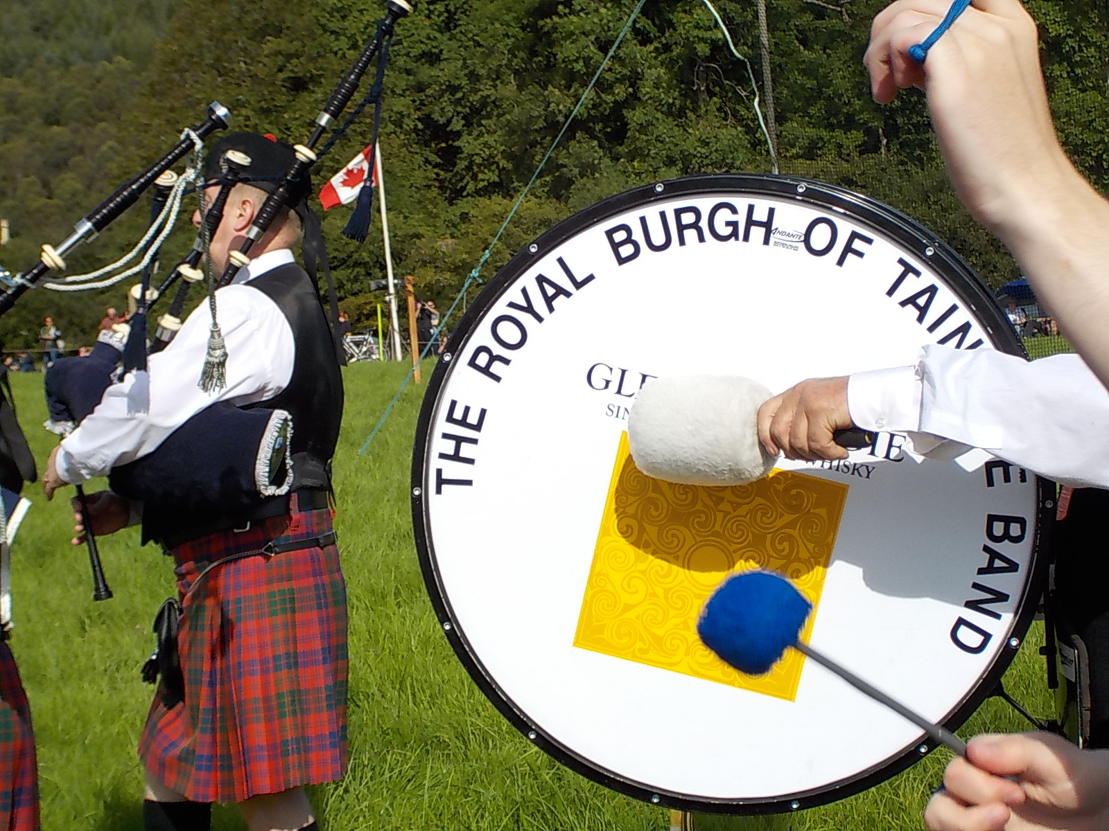
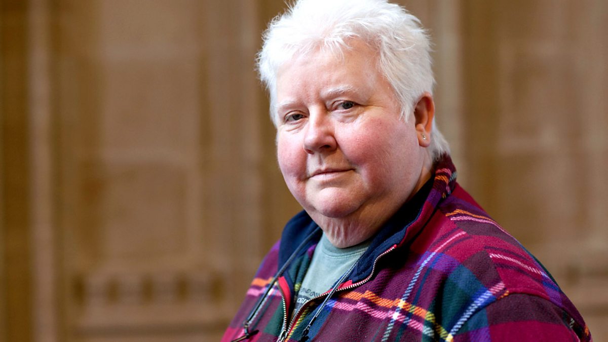
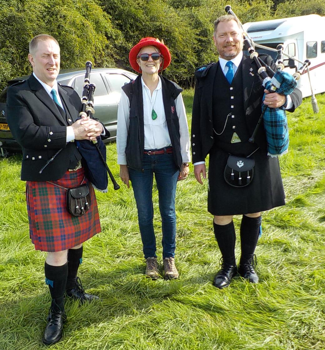
We were in far southern Scotland for most of the Highland Games season, so we were delighted to be able to get to the final event of the summer, the Invercharron Highland Games. Invercharron is in the Kyle of Sutherland, northwest of Inverness. What a day! The sun shone, there was no wind to blow the kilts up, what more could anyone ask? There was a parade with a pipe band from nearby Tain.9-17-16-invercharron-highland-games-013Following the band was the Chieftain of the Games, a grand marshall of the day. This year’s Chieftain was Val McDermid, a well-known mystery writer based in Edinburgh. She gave a great opening address about the importance of community and the way that Highland Games incorporate everyone, extending hospitality to all. https://ichef.bbci.co.uk/images/ic/1200x675/p01jzlvl.jpgThis is particularly interesting because McDermid is known for having a lesbian detective protagonist. Her invitation to be this year’s Chieftain of the games shows a level of openmindedness and respect for personal achievement that’s admirable in rural Scotland as it would be anywhere. I’ve started reading her books, it’s always a pleasure to find a new series.
http://www.valmcdermid.com/

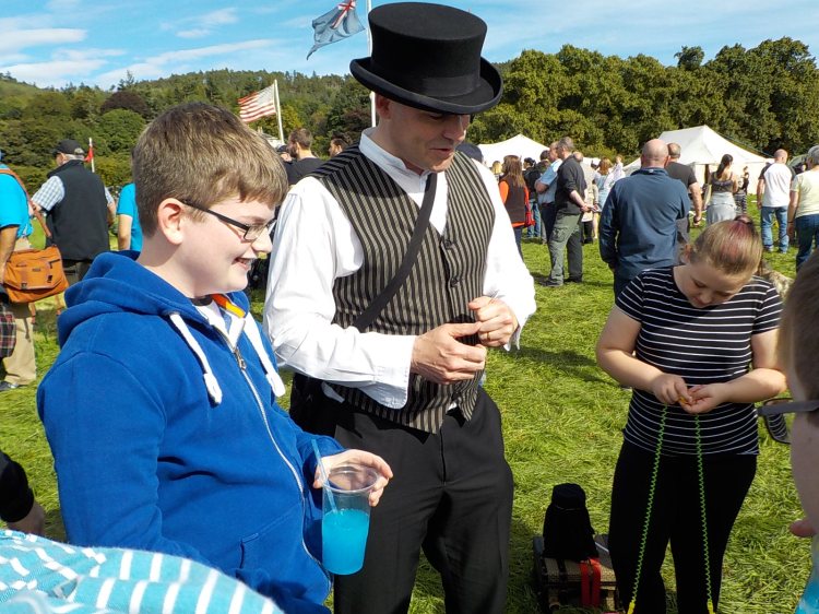
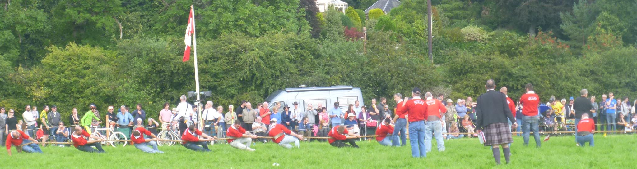
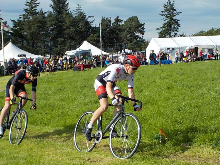
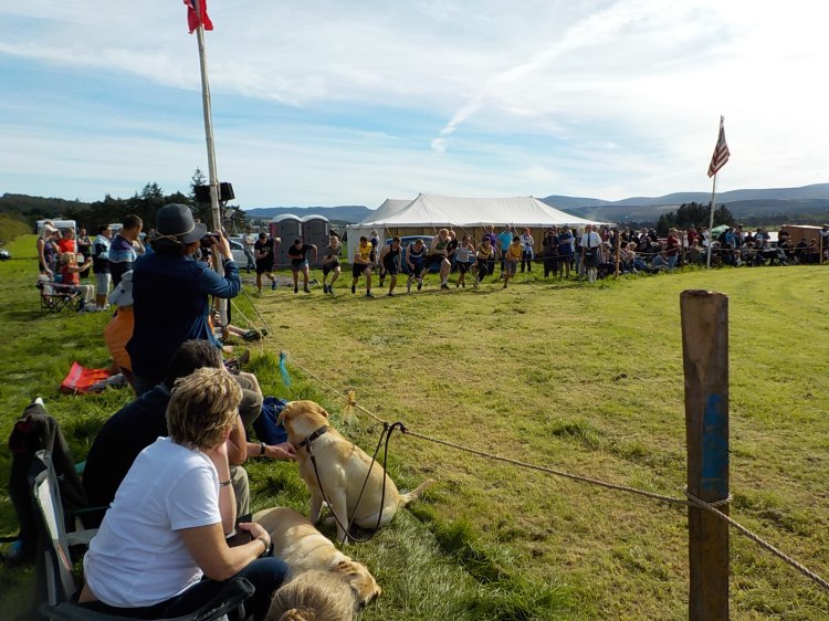
9-17-16-invercharron-highland-games-066smThere were all kinds of events, running, cycling, piping, highland dance, long jump, hop-skip-jump, high jump, and tug-of-war. There was even a roving magician.

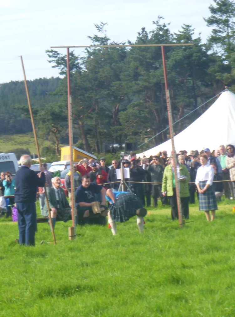
The star event was the heavy sports, the highland equivalent of the decathlon, where a sturdy group of men each participated in eight events, tossing hammers, shot, weights of different amounts (28 and 56 lbs), and then when they were totally exhausted, tossing the caber. They must wear a kilt to compete. Their shoes have long toe spikes to hold them in position for swinging the hammer.

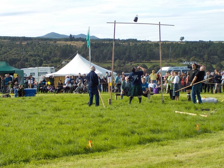
Tossing the 56 lb weight over a bar was amazing. The winner was able to get the weight, similar to a large kettlebell, over a bar 15 feet in the air.

By the time they began to toss the caber, the sun was setting and people were heading for home. The dancing, piping, foot and bicycle race awards were all  handed out. But they kept on going.9-17-16-invercharron-highland-gamesms-079All day long, multiple events were going on at the same time. There might be a tug of war on one side, a bicycle race around the oval, hammer throw in the center, with piping and dancing on platforms on opposite sides of the oval. It was a multi-sensory, multi-media event. At the same time, it was casual. People brought lawn chairs to sit in around the edge of the oval field, wandered around the tents with food, raffles, crafts, and drink. We spoke with lots of pleasant people who invariably wished us a good visit.9-17-16-invercharron-highland-games-002smI’ll close with a selection of tartan we saw. I was told that at some games there is a strong presence of a single clan, a summer homecoming as well as games. Invercharron traditionally closes out the season and doesn’t have a clan affiliation, so there was a range of tartan to see.

This slideshow requires JavaScript.

Photo of the Day: Roadside Attractions

Sometimes there are things by the side of the road that are puzzling but very attractive.9-4-16-road-to-cromarty-001This piece of mosaic art is by the side of the road on the way to Cromarty, and is part of a larger art initiative, though I haven’t seen any of the others.

Here’s another strange sight. It’s the much-maligned medieval tomb of Richard de Moravia in the Dornoch Cathedral (note the cute lion at his feet). Richard is known for having slain the leader of a Danish contingent by hitting him with the severed leg of a horse. Sadly, that feat was not enough to win the battle, and Richard died during the same engagement, in 1260. His remains were interred in Dornoch, possibly because he was the brother of the church’s founder.

9-14-16-dornoch-tomb-sir-richard-de-moravia

Pictish Stones

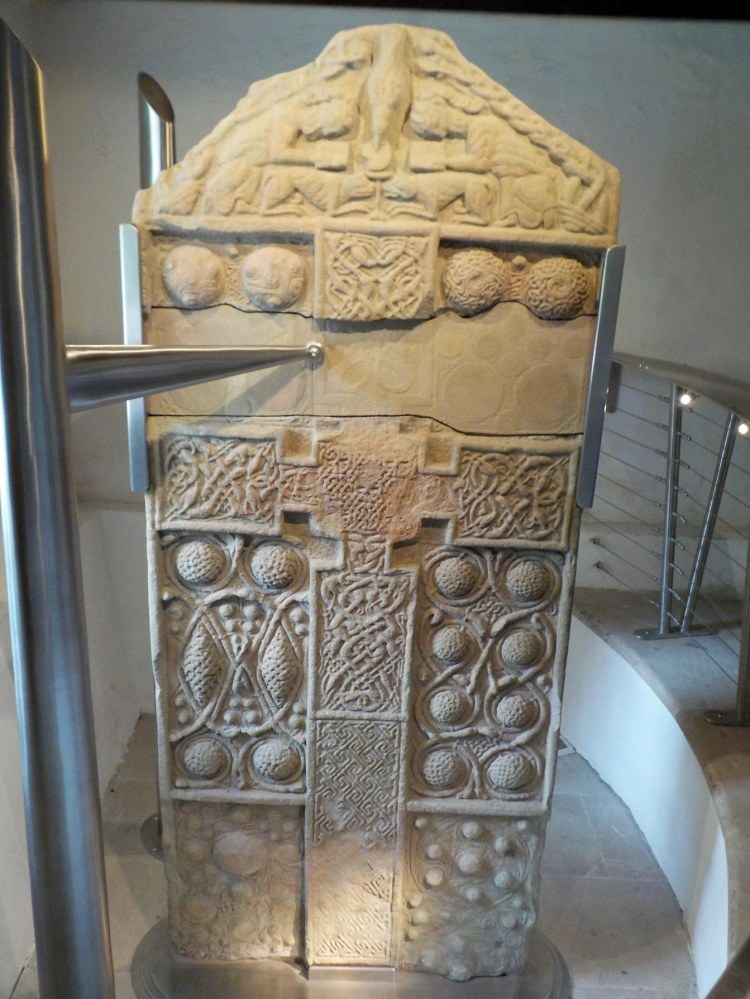
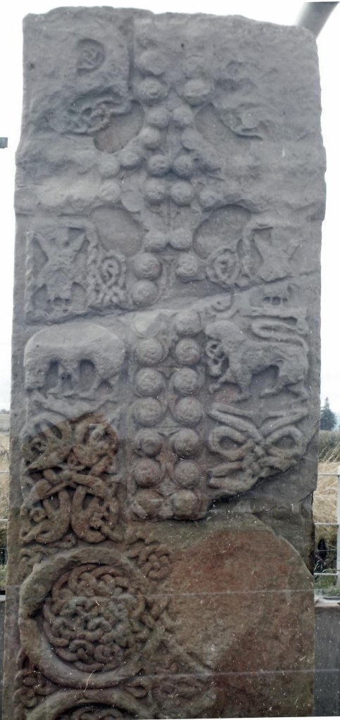
We followed “The Pictish Trail” around our area, checking out the Pictish Stones. These highly carved upright stones may have been grave markers, and were carved between about 200-800 AD, mostly in northern Scotland. The Picts are a mysterious group, best known for these distinctive carved stones. They were early converts to Christianity, said to have been converted by St. Columba. This also explains the crosses that are usually carved on one side of these stones.

9-9-16-hilton-of-cadboll-006


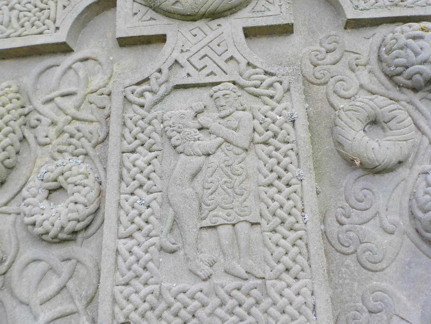
The reverse sides may have scenes from the Old Testament, such as Daniel and the Lion (right) from the Hilton of Cadboll stone.


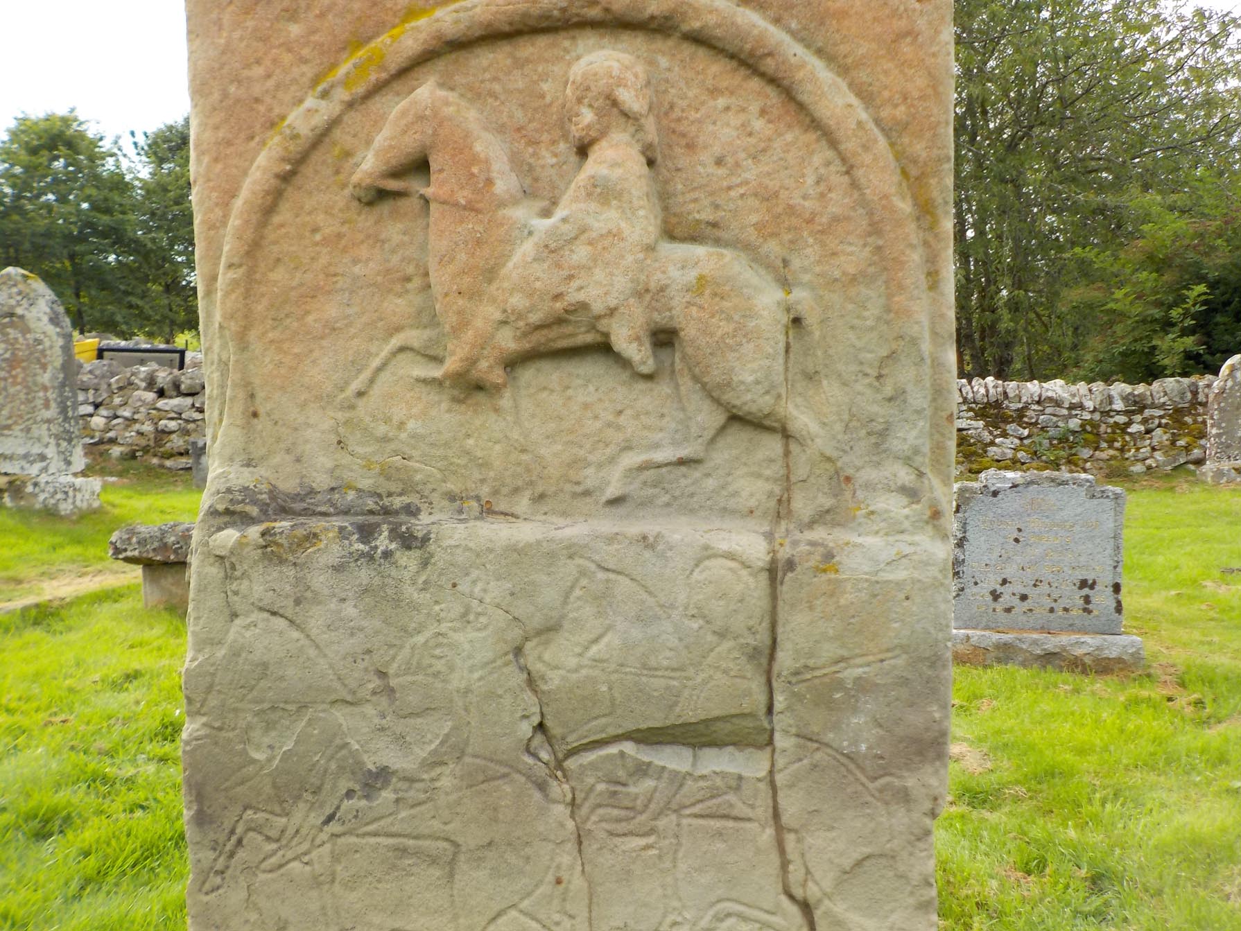
9-9-16-edderton-churchyard-002Hunting scenes are often present. If you look carefully, you see two additional horsemen below the horse and rider in relief on the Edderton Churchyard stone.


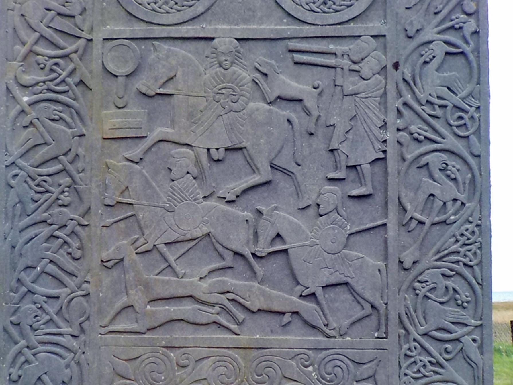
9-9-16-hilton-of-cadboll-001smOn the HIlton of Cadboll stone is a hunt scene with a woman riding sidesaddle, two men with hunting horns, a stag, dogs, other riders, as well as a mirror and comb to the left of the woman rider. Why these were important images is not known.

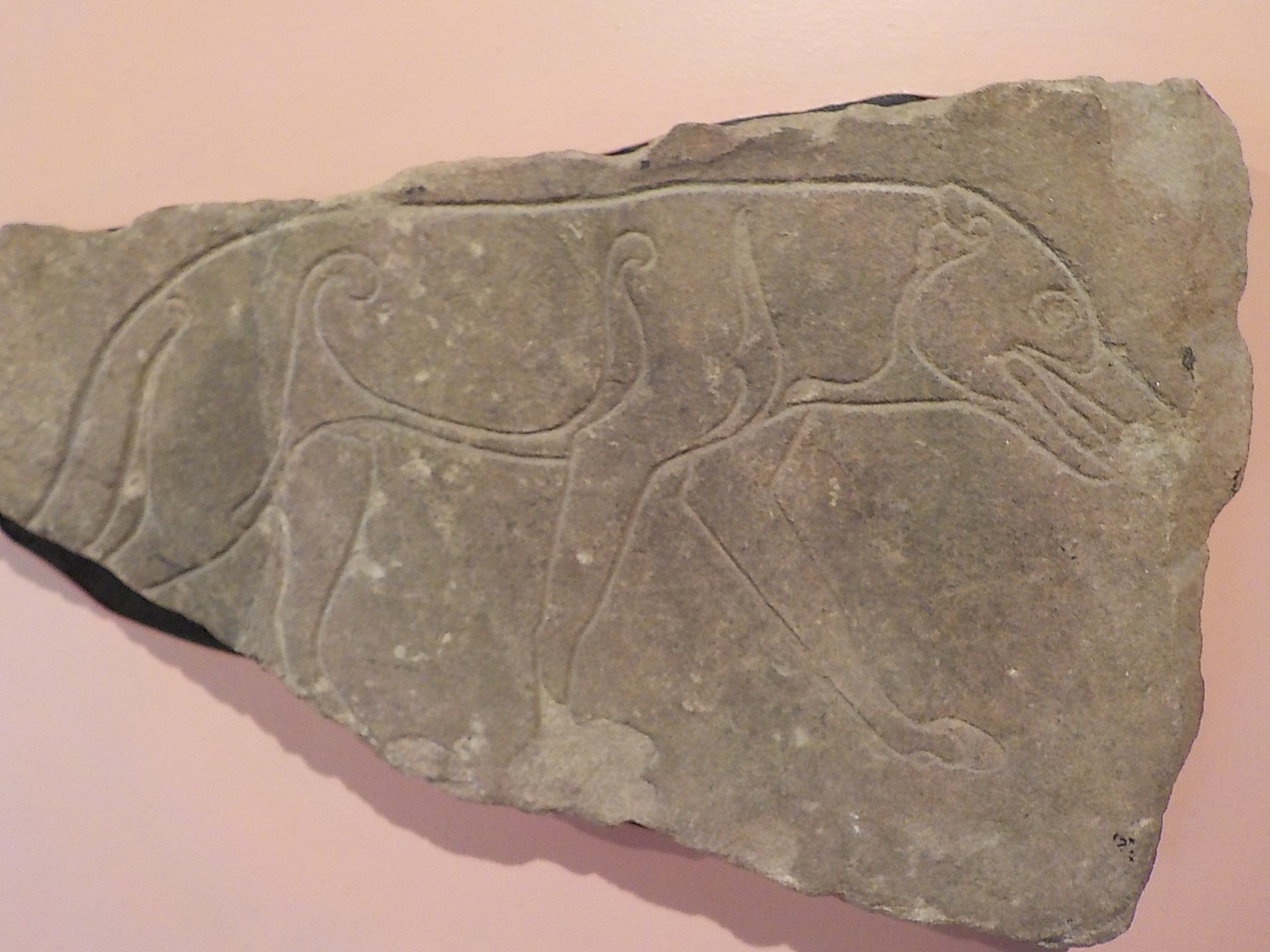
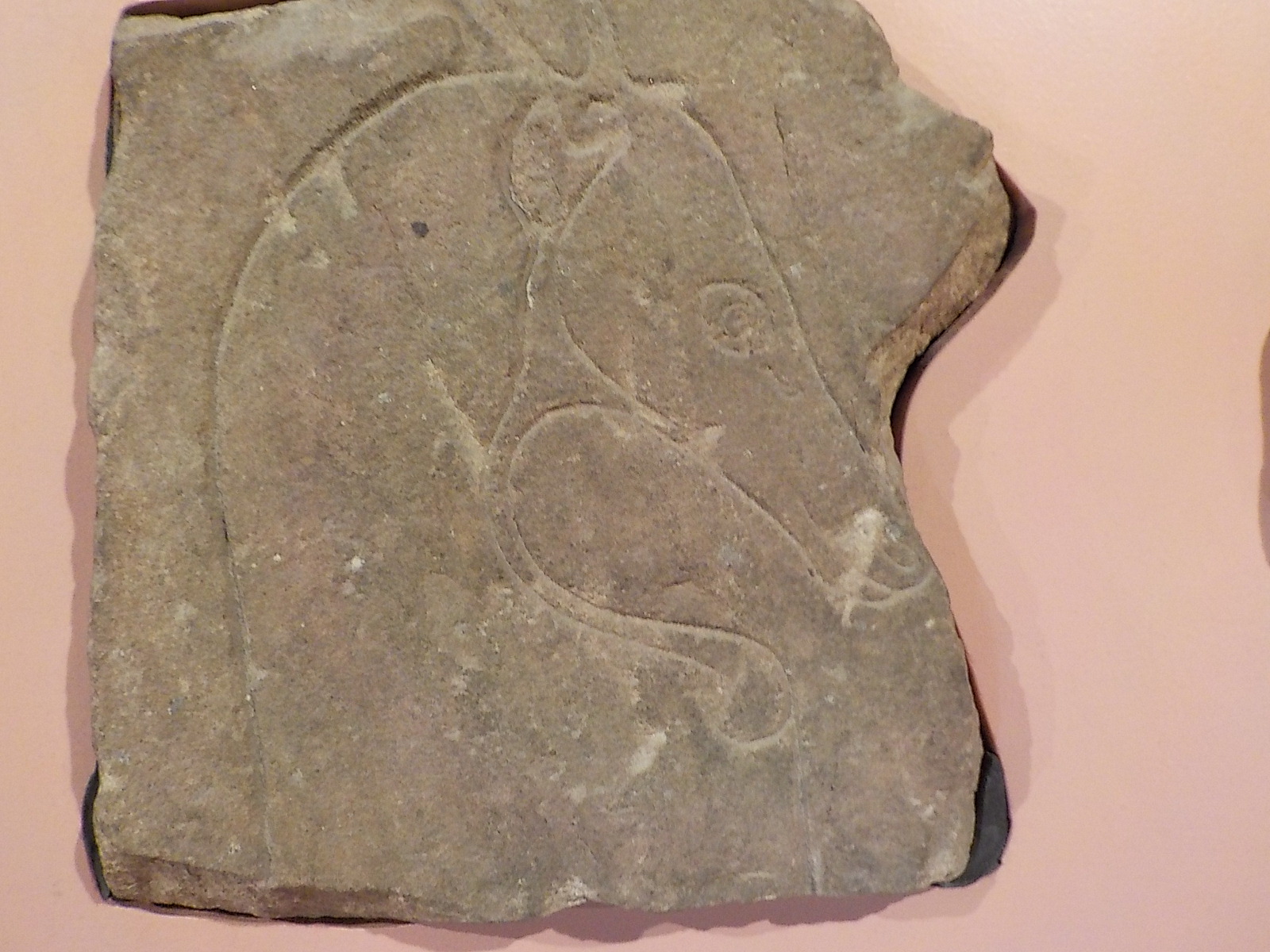
Other slabs only have symbols, and though these may include a fish, mirror, comb, elaborate ‘V’ and ‘Z’ marks. They also include wild boar, wolf, and/or something called the Pictish Beast. This is clearly a four-legged animal, but the head is so unusual that the Beast has never been specifically identified. I don’t have a good image of the Pictish Beast, but there are more stones to see if we have time. As you can see from the photos, there is a lot of geometric design on these stones, as well as animals entwined with linear motifs (plants, tails, necks, etc.)

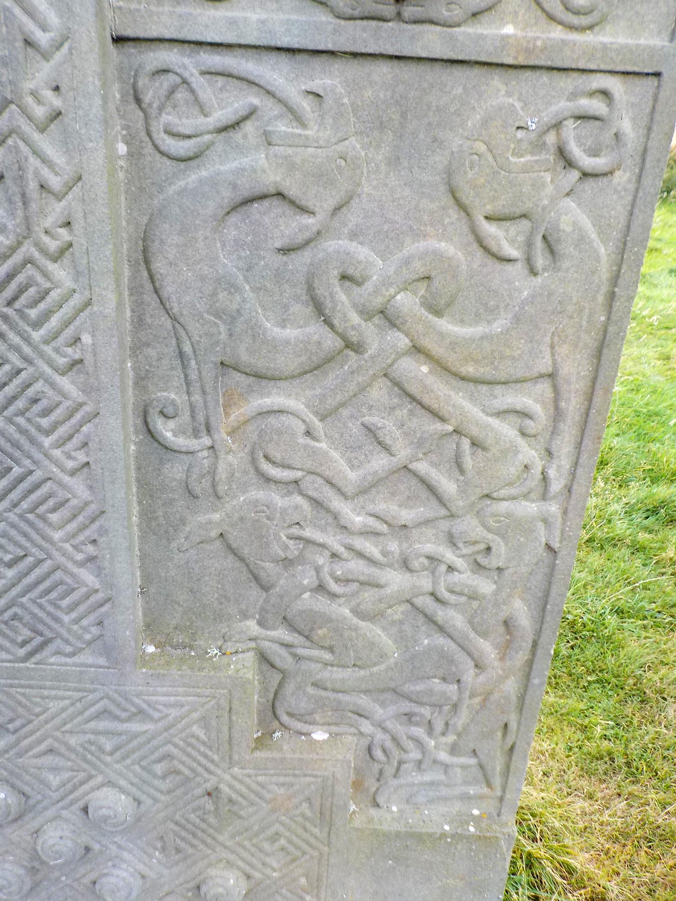
I leave you with an image of the Tongue-Tied Beast(s).

9-9-16-hilton-of-cadboll-005In addition to the stones mentioned, we visited Dunrobin Castle where there are several Pictish stones, but photography is not permitted. This has much less to do with the Pictish imagery than the fact that the stones are housed in a building that is festooned with more than 100 mounted animal trophy heads. I was told that some might find the display offensive–though they aren’t considering taking it down–so they don’t allow photos. Unfortunately, they don’t even have postcards of their Pictish stones available in the gift shop. The castle’s main draw are its fairytale main building and formal gardens.

9-13-16-pictish-stones-inverness-001In Inverness, we saw the Ardross Wolf stone (above), and the head of a Pictish beast (below),9-13-16-pictish-stones-inverness-002Still to visit are Portmahomack and Fortrose where there are small collections of Pictish stones to see. We’ve seen all the freestanding outdoor stones in our area that have visible marks on them. There are others all over Scotland from Aberdeen to Iona, but we are visiting stones from Inverness to the west and north. There is an excellent guide to the Pictish Trail in this area. This link takes you to a pdf of “The Highland Pictish Trail: A Guide to Pictish Sculpture from Inverness to Dunrobin” by the Highland Council.

http://www.highland.gov.uk/…/pictish_trail_-_a_guide_to_pictish_sculpture_from_invernes…


The Center of the Highlands: Lairg

We wanted to see what the highlands are about, so we drove to the middle. Lairg is about 50 miles from the east, west, and north coasts of Scotland.9-7-16-ord-cairns-lairg-002The town sits at one end of Loch Shin, surrounded by hills covered with heather and gorse, green pastures filled with sheep and tan fields of barley.9-7-16-ferrycroft-visitors-center-ord-cairns-lairg-001

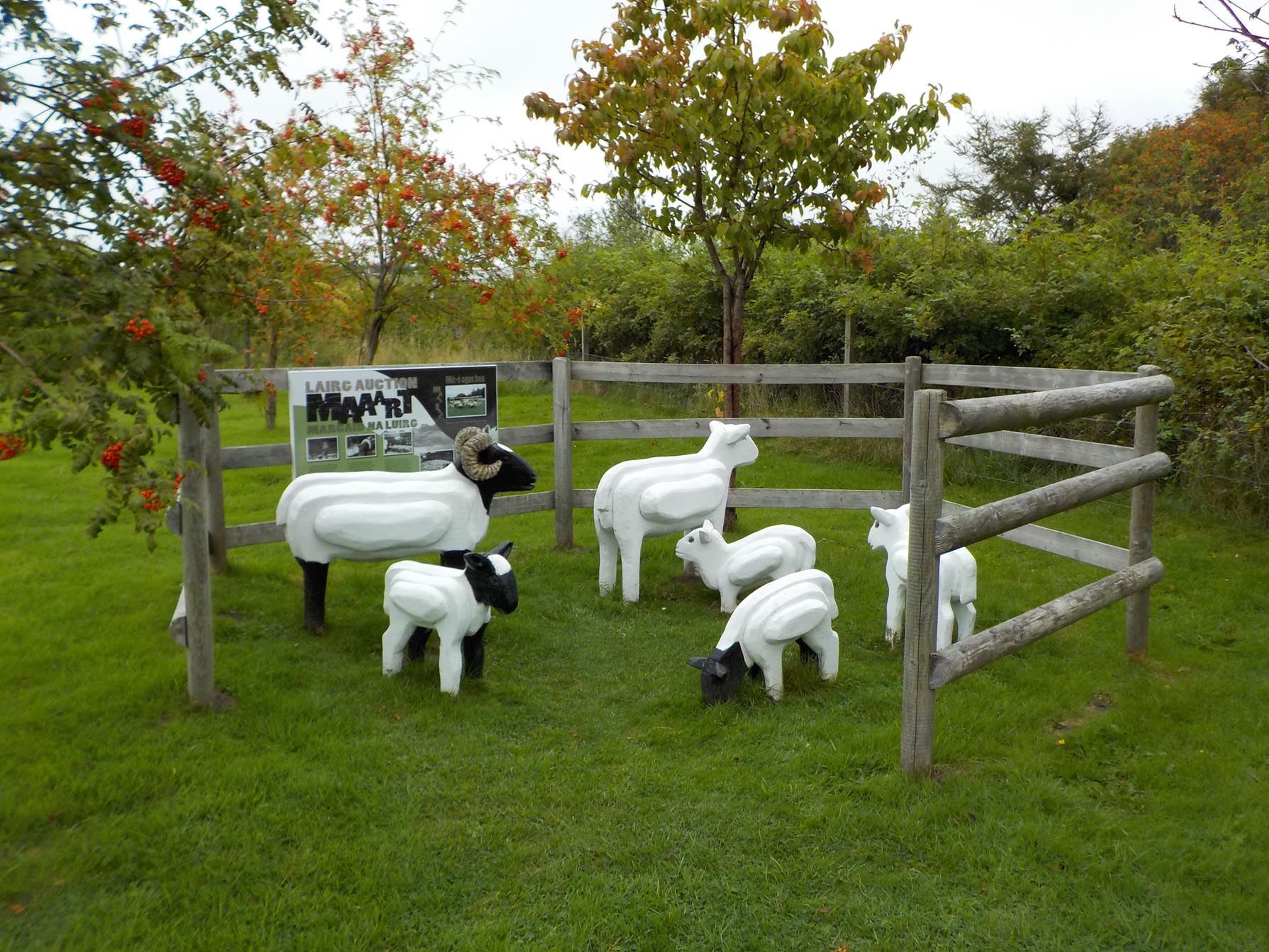
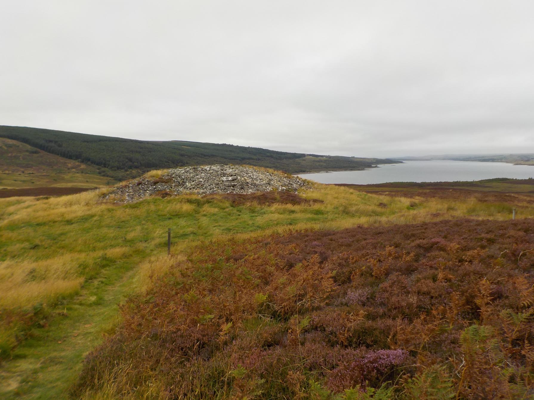
The Ferrycroft visitors center at the edge of town, has a number of playful outdoor spaces, indoor exhibits and is the start of a trail around the Ord Cairns, a series of archaeological remains including hut circles and cairns, that also include two large burial cairns that overlook Loch Shin.9-7-16-ord-cairns-lairg-005Each cairn looked a bit different.9-7-16-ord-cairns-lairg-003The large radio tower on top of the hill didn’t take away from the interesting sights, even though I’ve cut it out of my photos. The large hydroelectric plant didn’t intrude either. We were interested to find that the highlands look a lot like the rest of Scotland.

Photo of the Day–Tain Pottery

We stopped at Tain Pottery just because it was there. What an accommodating place! The showroom displays patterns and finished items, but they also have a page with all the shapes and sizes they make, and another with all their patterns. You can order any shape and size in any pattern. They’ll make anything not on the list as well. In addition, visitors are welcome to wander through the production area. It was Monday, and no one was decorating, but one kiln was running and another was still warm. One man explained that he was placing overly damp pieces in the kiln to dry them a bit more in the residual heat before they were fired.

9-5-16-tain-pottery-makerThe man in the photo was producing giant snakes of pottery clay. I wondered how he put up with such a boring job. I asked him a couple of questions and discovered (oops) that he was the potter and was preparing his clay on this Monday that he would be throwing into a variety of shapes during the rest of the week. First hand quality control.

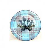
Since our visit, I’ve seen Tain pottery in several places. Today I went in a restroom in a visitors center in Lairg and saw a large plate of potpourri on the counter. Around the edge of the plate was the inscription “The Highland Council–Loo of the Year 2009”. It looked familiar somehow, so I pushed aside the potpourri to see the decoration on the plate and I found the distinctive tartan and thistle pattern of the Tain pottery.


http://www.tainpottery.co.uk/

Cromarty, the town at the end of the Black Isle

The Black Isle gets its name from the dark form of the island in winter. When viewed from afar, Inverness, for example, it looks black. Surrounded by water, snow doesn’t stick (they don’t get very much). Cromarty is a small town at the tip of the Black Isle. It has varied and interesting architectural details, and some nice shops including the only Dutch cheese shop in Scotland (don’t ask me why).

The thatched roof building is the birthplace of Hugh Miller (1801-1856), and the Carnegie library is dedicated to Miller as well. Hugh Miller was a proponent of the study of geology in the early 1800s. In this era before Darwin, this was a very new endeavor.

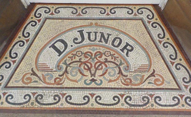
An interesting building in Cromarty, and the tile entrance to an antique store that had a great variety of things.

9-4-16-gaelic-chapel-cromarty-001

There’s always a ruin to be visited, so we walked up a path from town to the Gaelic Chapel, the ruins adjacent to the village churchyard. You can barely see the chapel walls in this photo and we are on the inside of the structure.


We spent a very nice day in Cromarty, and even stopped to watch birds in Cromarty Firth on the way home.