
It would be easy to spend ten days within the confines of a resort in Curacao, but we did venture out a few times to see a bit of the island. Beach Our first goal was to visit Westpunt, the far west end of Curacao. We drove as far as we could, and ended upContinue reading “Out & About in Curacao: Beach, Beachcombing, Birds”
Tag Archives: Beaches
The South Spit of Humboldt Bay
South Spit is a long narrow finger of land that extends around the west side of South Bay, the south end of Humboldt Bay that includes the mouth of the Eel River. Getting there requires a drive south along Rte. 101 to the turnoff at Beatrice, then west along the marshy land south of HumboldtContinue reading “The South Spit of Humboldt Bay”
This week Eureka ≈ Ireland
The more you travel outside the US, the more you find elements of other countries here at home. This week, as the rest of the country stayed very warm, Eureka was largely overcast and quite cool, with temperatures in the 50s and 60s. The sun came out occasionally in the afternoon, but it was jacketContinue reading “This week Eureka ≈ Ireland”
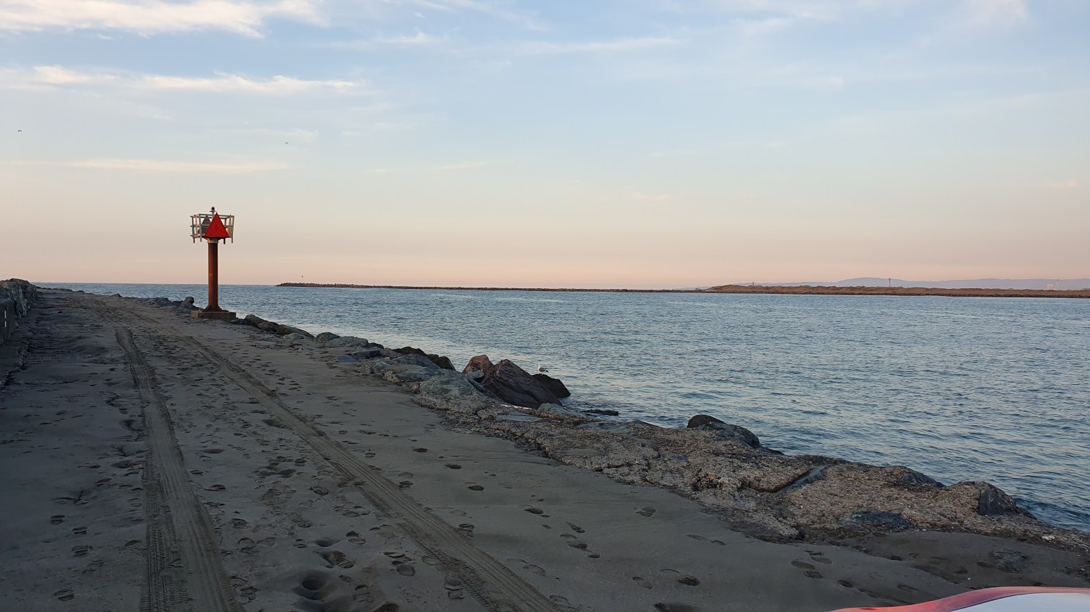
A new coastal walk
One constant for us is to walk along as much of the shore as we can, wherever we are. California is an excellent place for this, as the law strongly protects public access to the shore. Some landowners have tried to oppose this system, but all they’ve done is unloaded some of their excess cashContinue reading “A new coastal walk”
Around Wilmington, NC
There are a lot of things going on in Wilmington and the surrounding area. May has arrived and people are preparing for the high season of visitors, Memorial Day to Labor Day. Downtown Wilmington is gearing up. A road project blocks quite a bit of the Riverwalk this week, along with a stretch of FrontContinue reading “Around Wilmington, NC”
Wild Ponies

We try not to drive more than two hours from our home base unless we’re going to stay the night. We pushed our limit to get from Virgina Beach to Chincoteague, a few miles shy of the Maryland border. We wanted to see the town, visit Assateague Beach and see the famed ponies. We droveContinue reading “Wild Ponies”
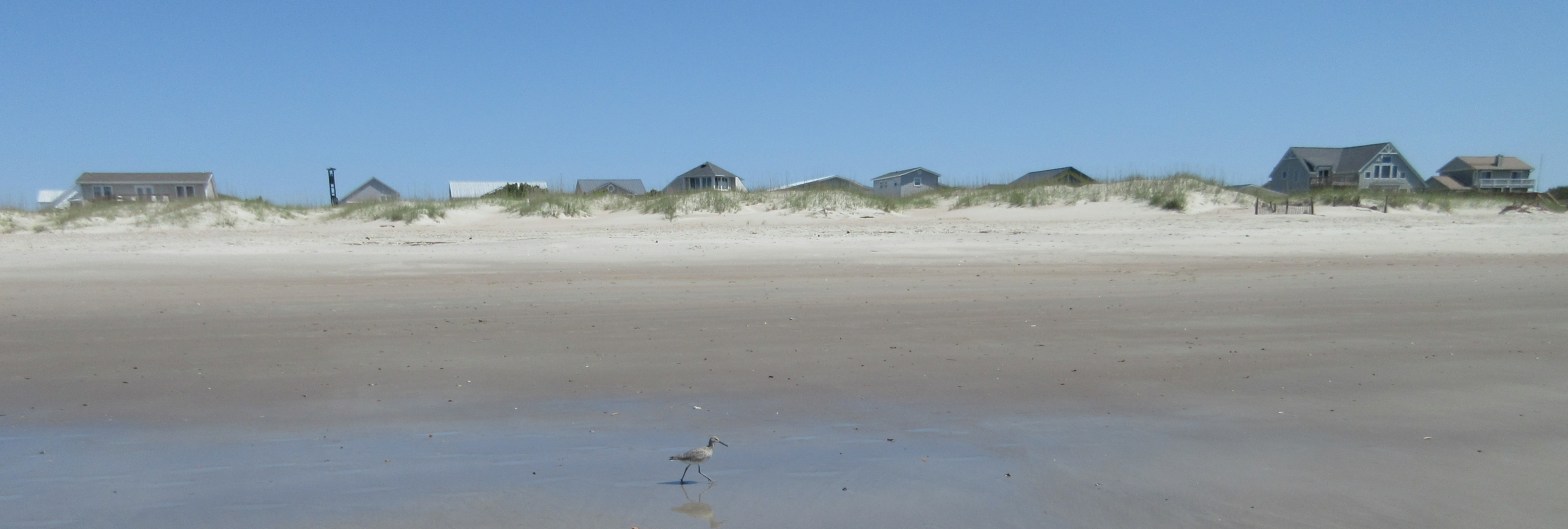
We step onto Virginia Beach
Wonderful to be back at the beach! Any beach! I was itching to see what our shore is like, though we arrived late in the day at our latest Airbnb and had to unpack just a little. By then it was dark. We can see birds from our deck and hear them all around ourContinue reading “We step onto Virginia Beach”
Return to Barranca, Peru

We landed at 1:45 am, got to the gate by 2 am, were waved into the priority line (white hair?) and through immigration by 2:15 am. Our luggage showed up at 3 am. Fortunately, we’d decided to stay overnight in the Lima airport hotel, and we were in bed by 3:30 am. A long dayContinue reading “Return to Barranca, Peru”
In Search of the Shore

From the activities I described in my previous post, you might think Bainbridge Island is one big village full of performance spaces. Not at all. What has surprised us most is how heavily forested the island is. Where I think there will be grassy space, even near the beach, tall trees and undergrowth thick withContinue reading “In Search of the Shore”
On the way to the beach

We set out for Zmudowski State Beach, just north of Moss Landing, where the Salinas River meets the ocean. There’s a sign that points off the highway, and the road goes left, right, left, right, through field after field. The long zigzag brings us to a quiet, sandy area, good for a long walk toContinue reading “On the way to the beach”
