
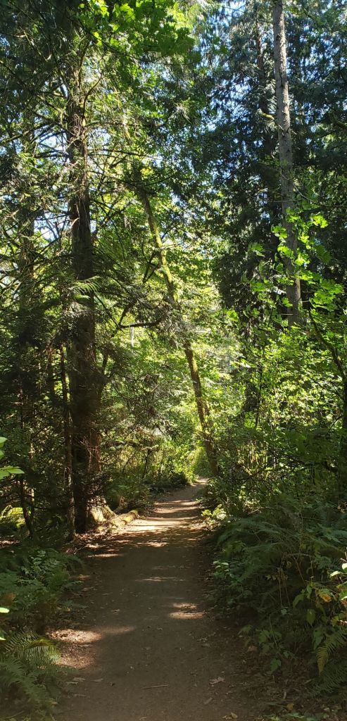
From the activities I described in my previous post, you might think Bainbridge Island is one big village full of performance spaces. Not at all. What has surprised us most is how heavily forested the island is. Where I think there will be grassy space, even near the beach, tall trees and undergrowth thick with ferns crowd right down to the shore. The topography is irregular, with lots of challenging hills for the ever-present cyclists. Many roads make unexpected turns to go around a few deep inlets that pull the shore into the woods. As much as we enjoy walking in the woods and the trails in the Bloedel Reserve, it is the shore that captivates us. We set out to see as much of the island’s edge as we could. Ah, but there’s the rub!
1: Most of Bainbridge Island’s shore is private, fenced, and posted. There are often few or no parking spaces near the very small number of shore access points, and we just cannot walk a long way anymore. To see the island best, you need lots of friends with beachfront homes.

During our infusion of culture, we learned our way up and down the island, but the time soon came when we wanted to visit a beach beyond the spot just down the hill from our house. I’ve been swimming there a few times. The shore is shallow and muddy when the tide is out, and ankle deep at high tide, but I can wade out and swim. The water doesn’t seem as cold as in Monterey, though I usually wear my wetsuit. There is a map of Bainbridge Island that shows other shore access points, and I decided we should visit all of them and see whether there are other access points unmarked on the map.
As we visited places marked “shore access,” we found there are some beaches with parking spaces for visitors, but most places that have signs indicating “shore access,” follow this immediately with No Parking signs. Occasionally, there is a sign noting where to park, up to a half mile from the access point. For us this is problematic. If we walked from the legal parking area to the shore, it would be time to turn back. Often, we couldn’t tell what the shore would be like without visiting. We parked illegally (though briefly) to walk down one path with a shore access marker. The narrow passage was bordered by No Trespassing signs. Though there were stairs to the shore at the end, the water’s edge was choked with seaweed. Maybe it’s nicer at low tide. We found this more than once. Access is carefully controlled by those whose houses face the shore.


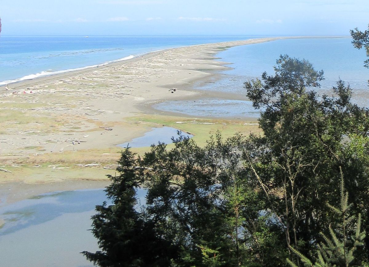
A few shore access points in parks (Fay Bainbridge Park is the banner image for this post) have nice beaches, pebbly, sandy, and piled with driftwood and sea shells. On our walks, we’ve found people on Bainbridge to be friendly and enjoyable. We’ve chatted about their pets, beachcombing, and life on the island. We’ve been invited to see a nearby garden, or studio. Why then is it difficult to get to the shore in more than a very few places, as though visitors were not wanted? I believe this shows the conflict between landowners and visitors. Washington is not California, Oregon, Connecticut, or other states where the shore up to the high tide line is considered a public trust. In a number of places, the space between the high tide line and the nearest vegetation, the dry sand beach, allows right of common use as well.
Federal law indicates that the shore cannot be owned below the high tide mark, but individual states, like Washington, can interpret whether shore frontage must be shared. Most of Bainbridge Island’s waterfront is privately owned and the state does not demand that access be maintained as occurs elsewhere. We saw a home built so that the shoreside corner was well under water at high tide, preventing anyone on foot from passing. Some stretches of shore can be accessed by watercraft, there are some public beaches, and the “shore access” points, but most of the island’s shore is carefully posted and kept unavailable to visitors because the owners have never had to live with a shared shore. Having just moved here from California, it’s been a difficult adjustment.
2: Who Cares? We are not the usual kind of visitor to this island.
Having commented on the difficulty of trying to circumnavigate Bainbridge Island on foot, it seems only fair to ask why anyone would want to do that. Other visitors don’t complain about shore access. Notice I don’t say beach access because most of the shore is pebbly or rocky, with some sandy areas where people go clamming.
We had good outings looking for and walking on the island’s shore, and in a few places we were able to do some beachcombing. There is a lot of driftwood, and seashells in many spots. If you needed a soap dish or a small plate, you could go hunting for sea-washed oyster shells. We saw examples up to eight inches long. There was some beach glass, and we saw some sea creatures, like the occasional seal or sea lion swimming by.
Why fuss about shore access when we spent a full month exploring and did not run out of places to visit? (We even occasionally went off the island.) Personally, I believe that shore access should be free to all, and not at the nearest landowner’s pleasure. Landowners should not be required to construct trails and bridges, or to make cliffs accessible. Nor should landowners be liable for twisted ankles or other accidents that might occur on the waterside margin of their land no matter how steep, but if a patch of shore is walkable, anyone should be allowed to walk or beachcomb. I don’t own any waterfront property, and I could be accused of wanting something for nothing, but I believe we should all be taught from an early age to respect and share the amazing resource that is the space between land and sea.
3: Other natural pleasures of Bainbridge Island
August was a month of nature. There were a few seagull species we hadn’t seen before, and a lot of familiar birds on the bird feeder at the house. This is a region where black-capped chickadees and chestnut-backed chickadees are present in equal numbers. They squabbled with each other and the red-chested nuthatches for domination of the feeder. Birds on a feeder are an embodiment of “the smaller the stakes, the more bitter the battle.”


In our backyard, we had a wild rabbit and a black rabbit that could have originally been a pet. Regular squirrels and tiny Douglas squirrels came out to take peanuts off the porch railing and wave their tails frantically.
We have explored a bit beyond the island, but at one point we looked at visiting a park an hour’s drive away and realized that it would take us to a place directly opposite the shore we’ve visited on Bainbridge. Why go when you can stay?

Visiting Port Townsend made a lovely day. We started with the trail to the “glass beach”, but we weren’t up to walking three miles each way. The beach was good for a long walk and yielded a few pieces of beach glass. Our stop at the old water tower with its fire bell still in place gave a view over the downtown area. There are lots of stores and restaurants waiting for visitors.
When my sister Paula and her partner Wayne were with us, we made the journey to Dungeness Spit, a wonderful long walk along the shore. Again, we didn’t make the trip to the lighthouse, said to be five or size miles each way, and enjoyed the gorgeous day. Our bonus was finding Salty Girls for lunch in nearby Sequim (pronounced “Squim”). Steamed clams and a crab melt really hit the spot, and none of us envied Jonathan the drive home. When she was a graduate student at the University of Washington, Paula thought she might retire to Sequim. I can see her point.
Last but not least, we took a day trip to Marrowstone Island, a narrow island that is relatively small in terms of Puget Sound. From the Ft. Flagler park we looked across to the cliffs of Whidby Island, and strolled the shore. On the way to Marrowstone is Indian Island, but it cannot be explored despite the intriguing name. The entire island is a naval facility that stores ordnance, and is fenced and razor-wired to an impressive extent. The waters of Puget Sound off Marrowstone are busy with commercial sea traffic moving in and out of the port of Seattle. We saw container ships, tankers, a dredge piled high with sand towed by a tugboat at the end of the longest tow line I’ve ever seen. On the margins of the sea lanes, sailboats and motor craft cruised up and down. The shore is dotted with fishermen, a couple of whom showed off the salmon they’d caught. It was a lively day.

What with all the walking, beachcombing, clam-eating, wine-tasting, and bird-watching, the month flew by. Tomorrow we embark in our trusty Prius for points south (Eugene, OR; Eureka, CA; San Francisco, CA) and points west (Kona, HI). I’ll see you there.
Below are a few photos that don’t fit neatly into any category other than Bainbridge Island and environs.
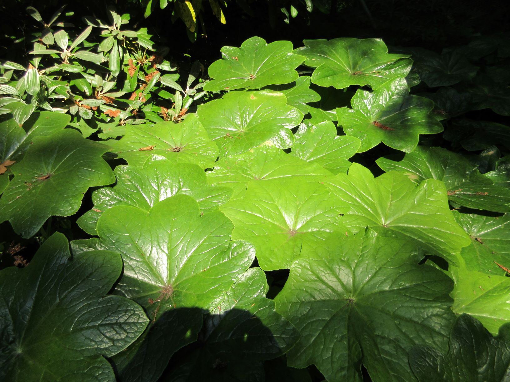


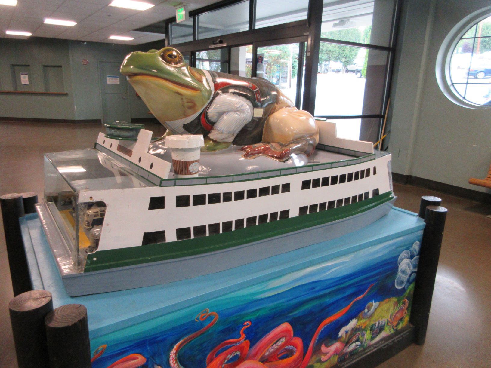
Clockwise from upper left: plants at the Bloedel Reserve; the “Sea Glass Quilt” sidewalk art in downtown Winslow; Pickleball was invented by a group of Bainbridge Island residents; a rustic bus shelter; a frog sitting on a ferry–I don’t know why; a vintage auto bumper in the woods near Gazzam Lake.
