Many of you know that I love beachcombing and collect glass and pottery tumbled by the waves. Some of the prettiest is blue and white printed. Here (L) are a few pieces I’ve picked up. Jonathan decided to surprise me with a jigsaw puzzle of blue and white pottery that he saw online. I’m sureContinue reading “Puzzling!”
Category Archives: USA
What I’ve Been Doing
I took photos of my mosaic project as it went along and put them together in a short video. I recommend adjusting it to run double speed if you can, just to move things along.
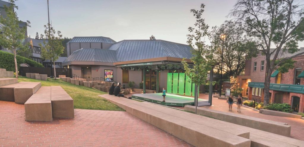
Concert Time in LA

(And What We Ate) For the first time in a very long time, we took a weekend trip. Six months ago, Jonathan saw a video of Anna Lapwood playing the organ. He found she’d be on tour playing in Los Angeles on May 3, 2026. We bought tickets and planned to use the weekend asContinue reading “Concert Time in LA”
Riding the Bus
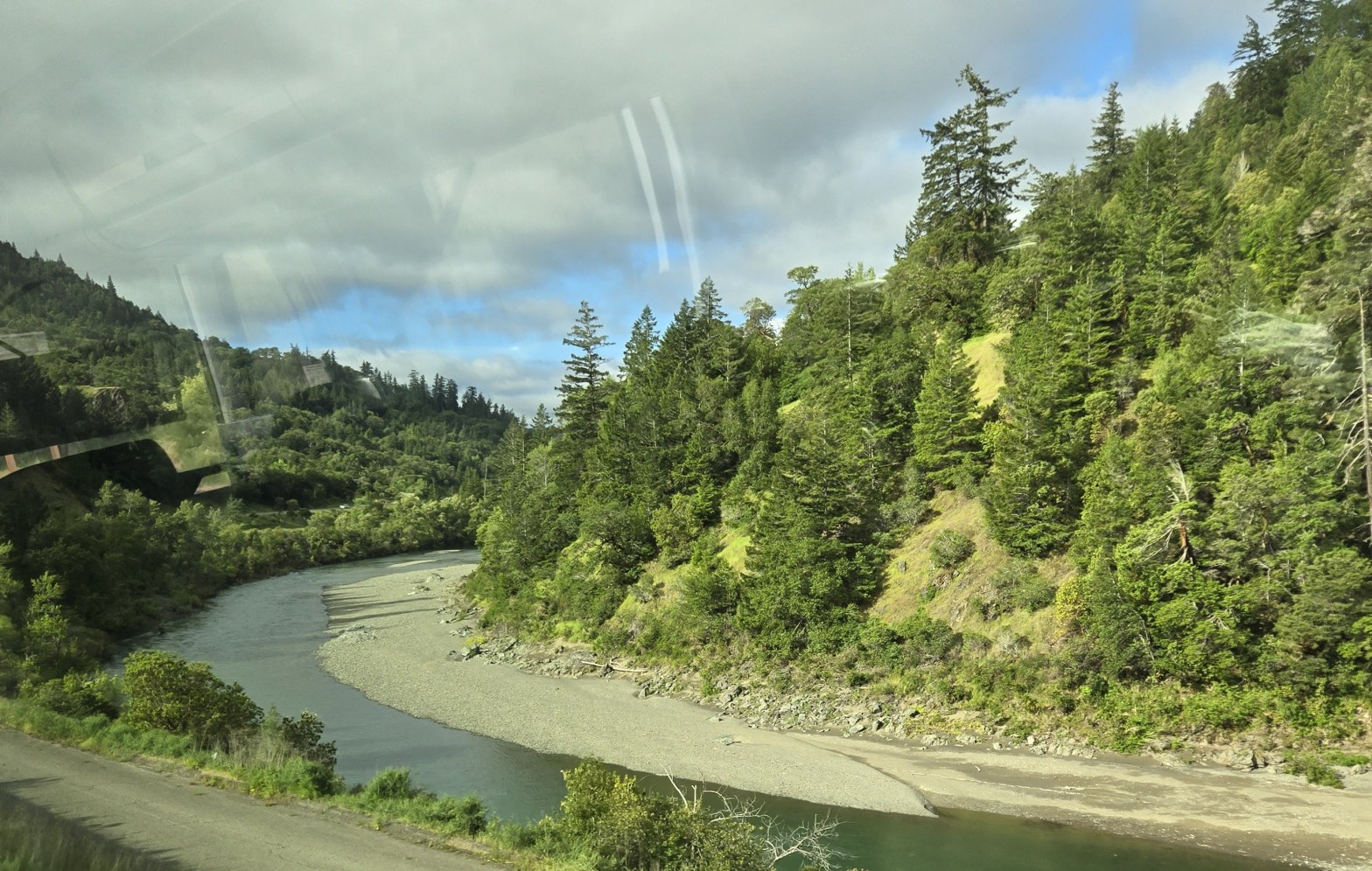
My latest experiment! I began seeing a retina specialist in Santa Rosa, CA in June 2022, to get my monthly eye injection, as I was unable to get in to see either of the two doctors who give the injections in the Eureka area. It’s a four hour drive each way, and after one trip,Continue reading “Riding the Bus”
Ashland without the Shakespeare
Ashland, OR is famed for the Oregon Shakespeare Festival (OSF), but there is an off-season, roughly New Year’s through early March, when there are no plays on. Jonathan and I visited in this interval, and we had an excellent time, even with the Bard and company in hibernation. We spent a weekend eating and drinking, andContinue reading “Ashland without the Shakespeare”
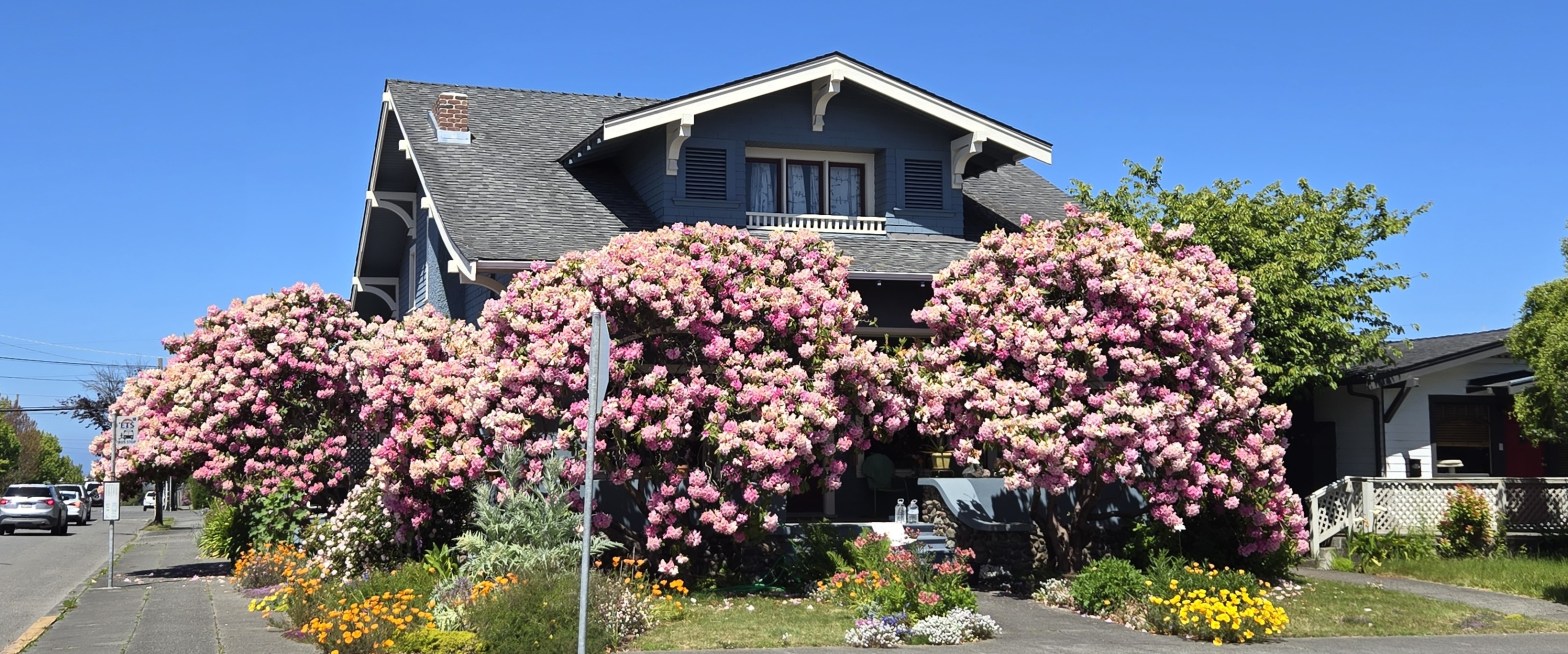
Eureka’s Distinctive Look
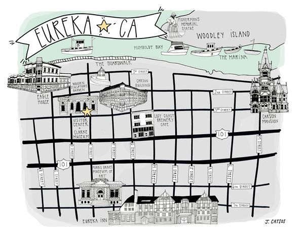
I enjoy walking through the neighborhood and around Eureka looking at houses and public buildings. This is a community with many vintage and historic structures, especially houses. Eureka was founded around 1850, as a port for shipping supplies to goldfields further north, and later as a port for shipping logs. Humboldt County was the sourceContinue reading “Eureka’s Distinctive Look”
Fall Days in the Finger Lakes

I haven’t been posting. There are many reasons, but let’s skip to today and my new post on a recent trip to New York. October in upstate New York can be a riot of color as the last of the leaves change from green to yellow, orange, and red. October also lifts the curtain onContinue reading “Fall Days in the Finger Lakes”
Wild Blackberries
Berries are in season, strawberries, raspberries, blackberries, thimbleberries, tayberries, boysenberries, blueberries, huckleberries, and even the everywhere-invasive Himalayan blackberries. You can pick your own berries along the roadside, you can buy them at the farmer’s markets, or in the Safeway. Even better, the last Saturday in July, you can visit the Westhaven Fire Department outside Trinidad,Continue reading “Wild Blackberries”
That Magical Weekend
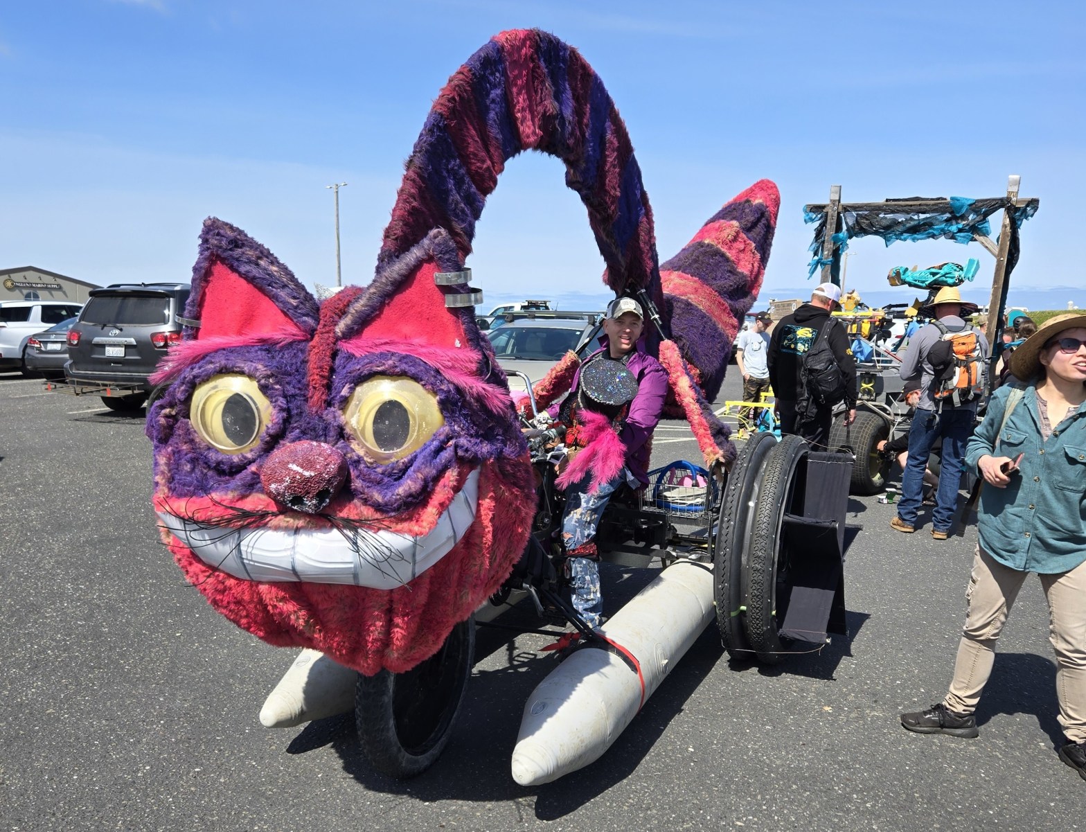
Memorial Day weekend is one of the best moments of the year in Humboldt County, CA. The Kinetic Grand Championship takes place on this weekend every year. It’s a three-day race of human-powered contraptions that emphasizes joy, creativity, and problem-solving. It’s a festive, fun, and largely free of charge weekend, my absolute favorite time toContinue reading “That Magical Weekend”
Halcyon Days
Flowers are in full bloom and the weather is cooperating, giving us warm days and cool nights. Memorial Day weekend is upon us, and with it the official start to summer tourist season. Every weekend from now through October has a major event. There will be three or four farmers markets each week, festivals, andContinue reading “Halcyon Days”
