Community in Kjerstad

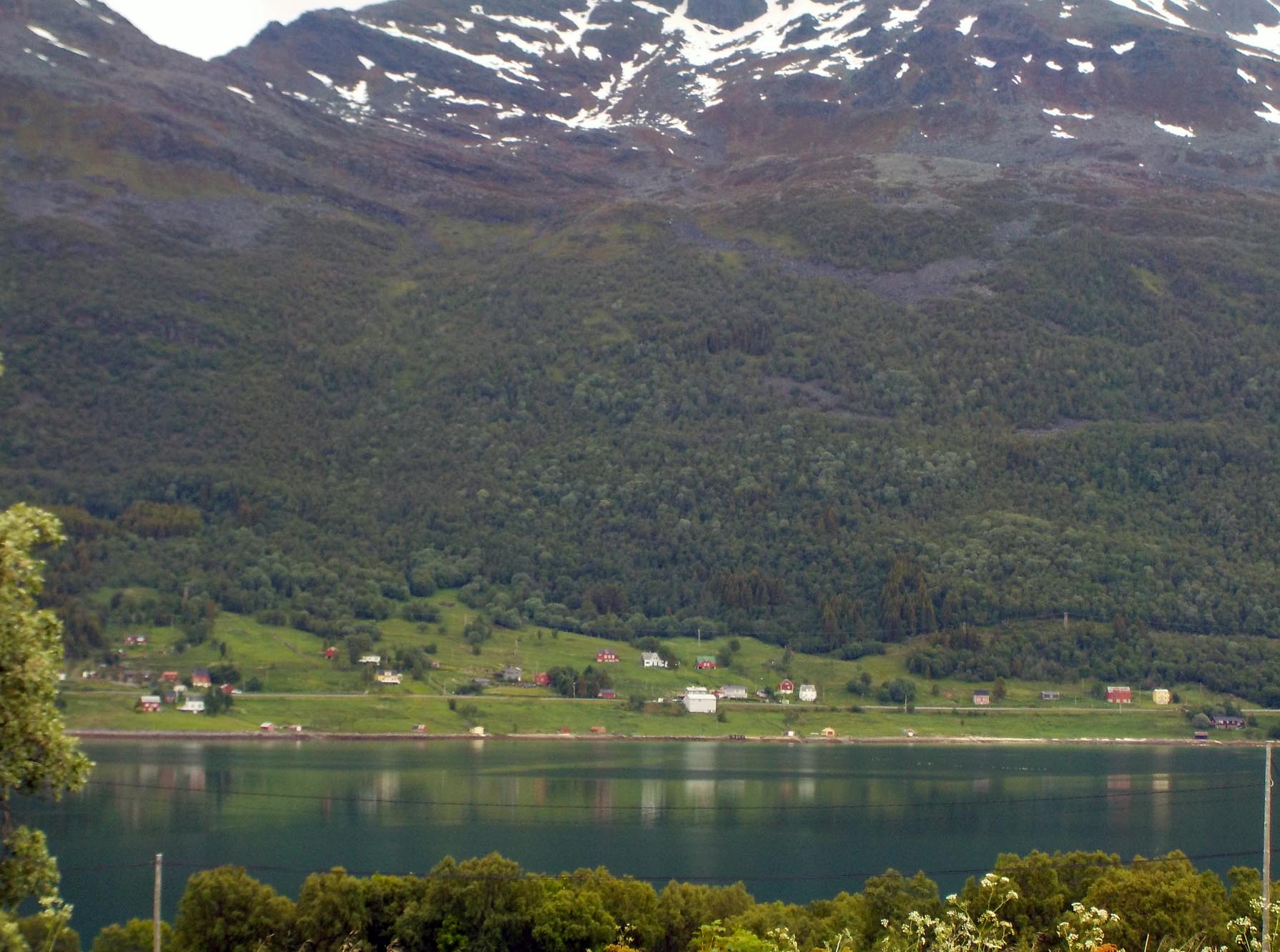
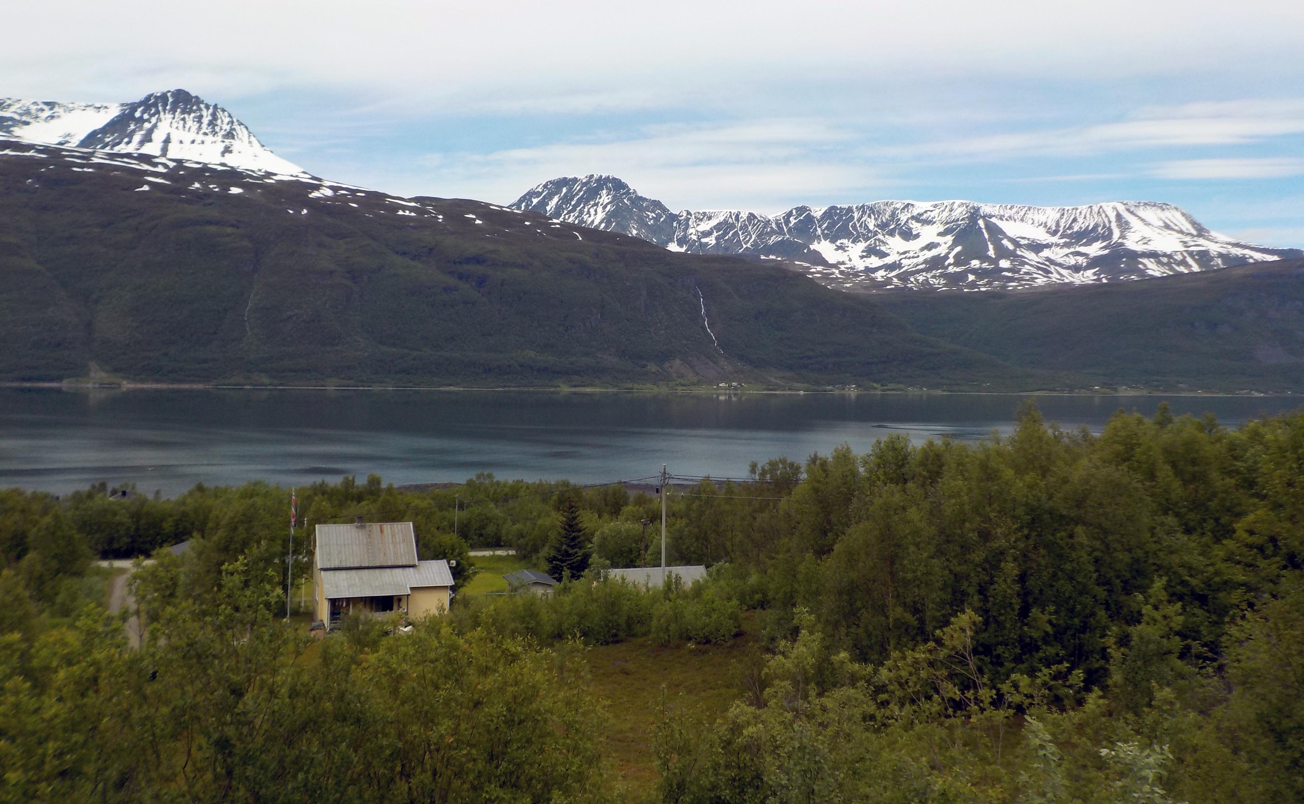
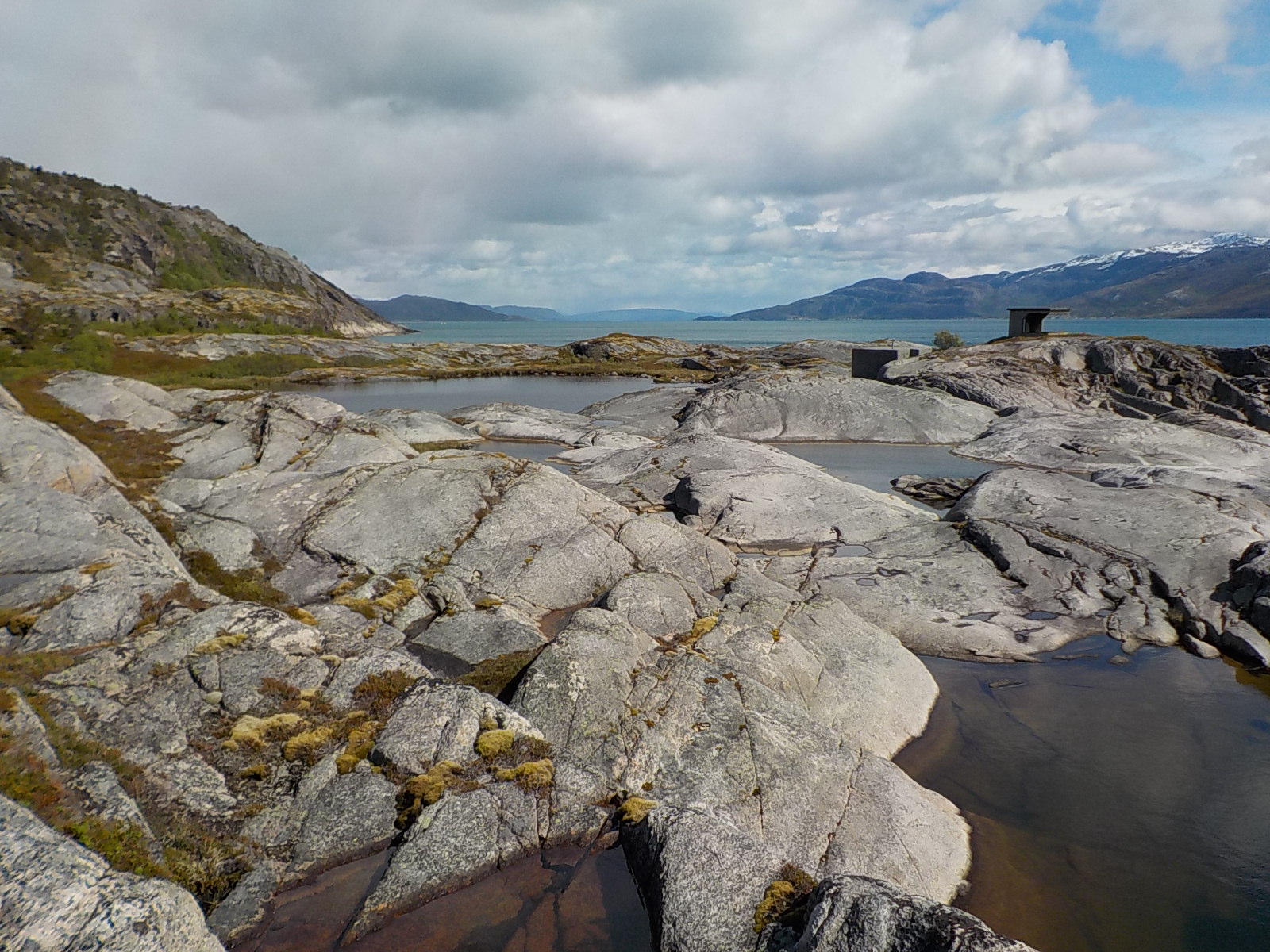
Tjeldoya Island looks deceptively empty. On the day we drove to Lodingen we were on the opposite side of the fjord and Amanda pointed out that there are many houses on the shore of Tjeldoya that you don’t see from the narrow road where one driver often has to pull over when two vehicles meet.

Despite this rural setting, there are quite a lot of people on the island, especially in the summer, and many communities hold events. Kjerstad is active, holding a Sunday cafe in the small building that works as a community center.

On Sundays from noon-3 pm you can stop in for waffles or pancakes with jam and sour cream to top them and a beverage (soda, coffee) or an ice cream. The few indoor tables have been full and the heaters running when it was cold out this week, but lately people sit in the sun on outdoor benches and picnic tables. I took advantage of the women who run the event to find out the answers to my recycling questions (!) and we chatted about the weather. Even the woman who said her English wasn’t very good spoke excellent English.

During the week we saw a new poster on the building. After some searching and translating, we found that it is by a theater group that tours northern Norway in the summer, performing plays that incorporate elements of Norwegian history. At the following Sunday cafe, when we went with Amanda and Jimmy, we found out more.

Slideshow
1880 — Amerika: A tilbud you can’t refuse. [That is the actual title of the play.]
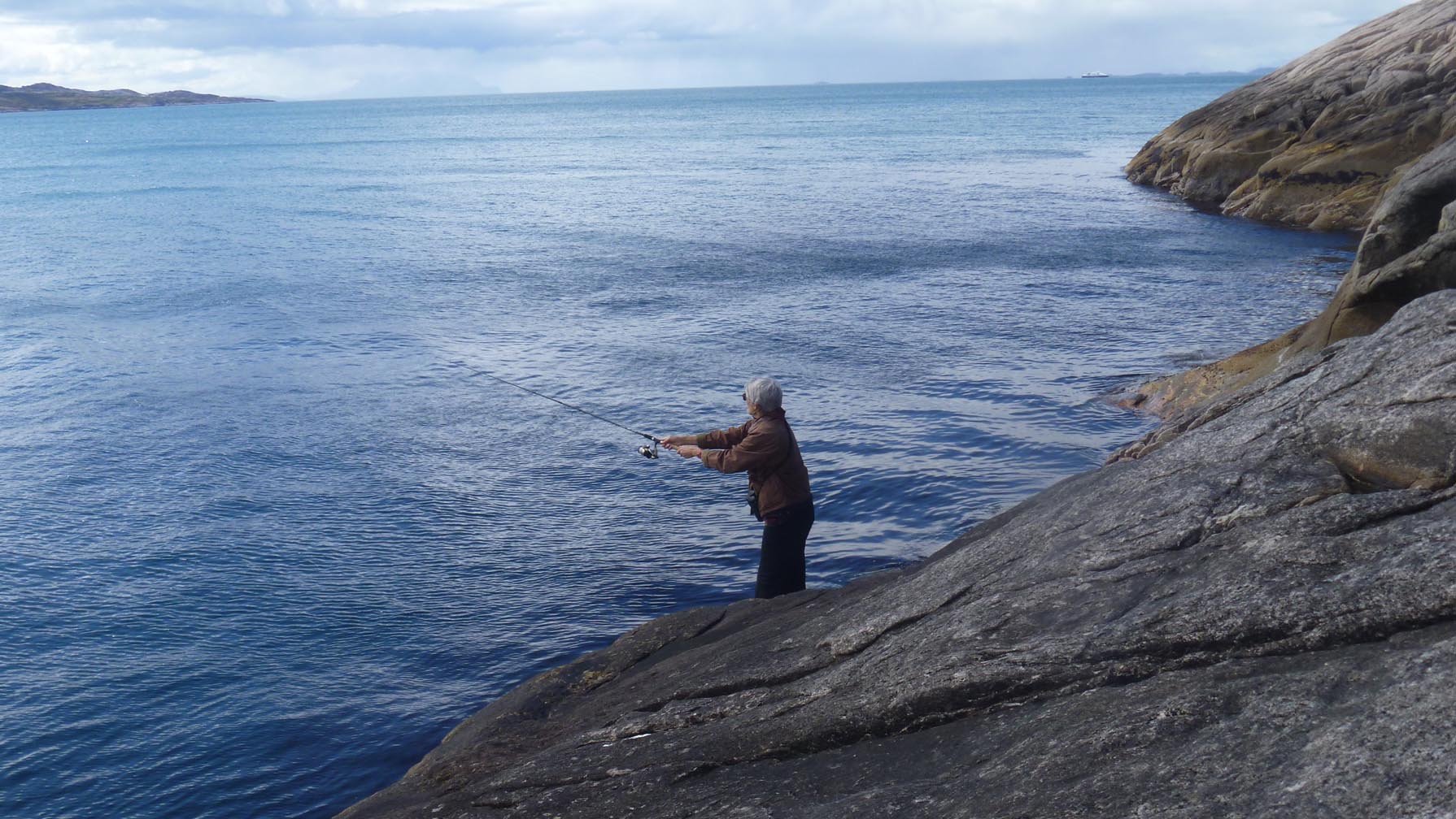
One of the actors in the theater group is from Kjerstad, part of the reason it is a stop on each summer’s tour. (He’s the one holding the fish.) I am so sorry we will miss this. The third week, we returned to the cafe with Paula, and met the actor’s brother, who lives in Kjerstad. Each week we learned something new. We also went fishing off the pier after finishing our waffles.

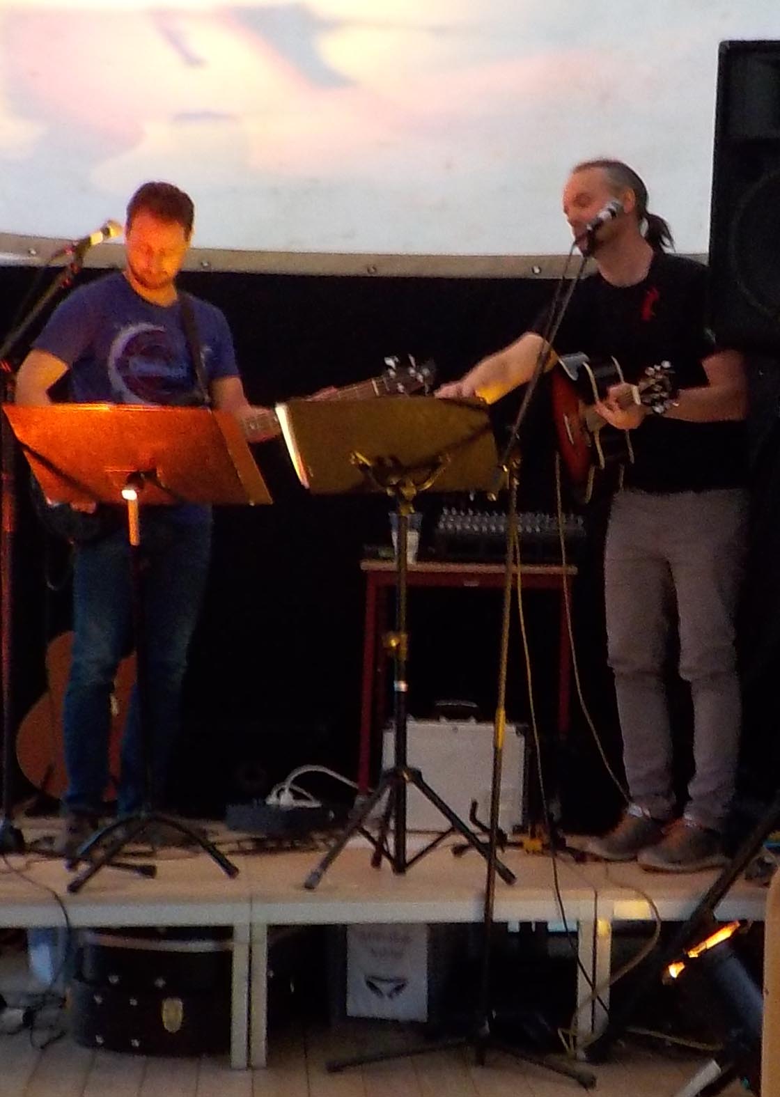
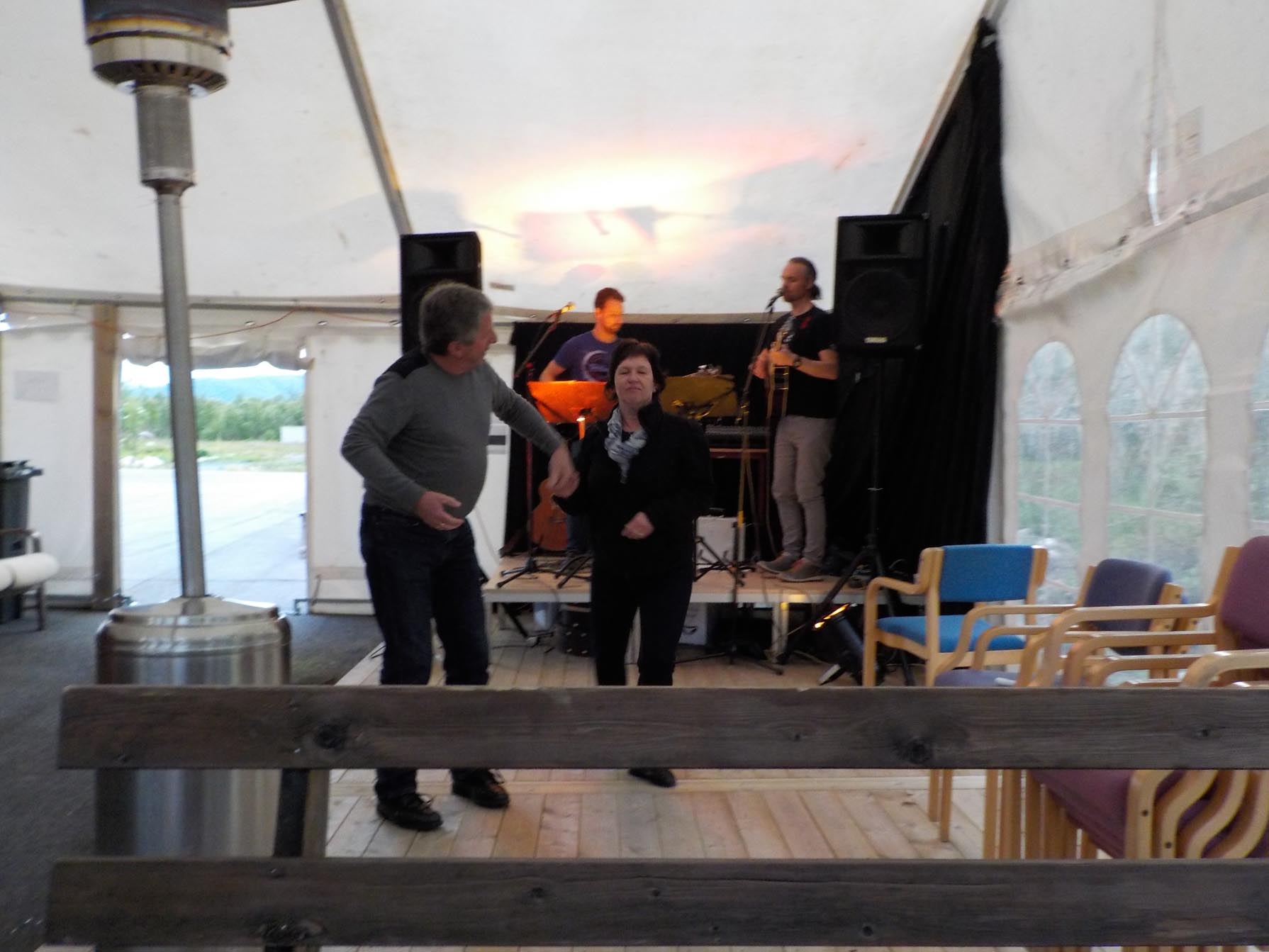
6.25.16 pub night KjerstadsmLast Saturday night was a pub night at the same place in Kjerstad, the community center. We were told it began at 9 pm, so we arrived at 9:30 pm. We were almost the first people there, but we got drinks and sat down and chatted with two men who turned out to be the musicians. Both are teachers in Harstad, one focusing on English though teaching other subjects, most recently to 6th graders. The other teaches a range of subjects to middle and high school students. They play for fun and pocket money. This was a last minute event for one or both of them. Someone cancelled somewhere along the way and one or both of them were a last minute addition. It didn’t matter to us because they were very good, playing bass and guitar and singing, mostly in English! The songs were familiar rock tunes. I’m sorry there was only one of these events during our stay.

6.25.16 pub night Kjerstad-001


We left them to tune up and took seats for the music. There was some wrangling about the space heater. (How many men over 65 does it take to start a space heater?) I’m not sure. They were not crazy about the foreigner figuring it out, but later we all toasted one another.
6.25.16 pub night Kjerstad-002
We’d be dancing with them if Jonathan hadn’t sprained his ankle.


Jonathan recognized a woman at the next table from when we turned around in her driveway (How did he do that?) and we had one of those funny conversations, “Oh, YOU were the ones in the dark car!” “Yes, that was us.” “I was mowing the lawn.” “Yes, on that riding mower.” “Hello.” (We shake hands and smile). Then we discussed how we happened to be in their neighborhood–Dragland–yet not related to anyone there. It seems that most people visit because they have a relative there, so our new friends assumed we must be some newly arrived relation of a Draglander. Since we had this conversation, I found that there is an Association of people named Dragland who are actually from Dragland. They all have a common ancestor.

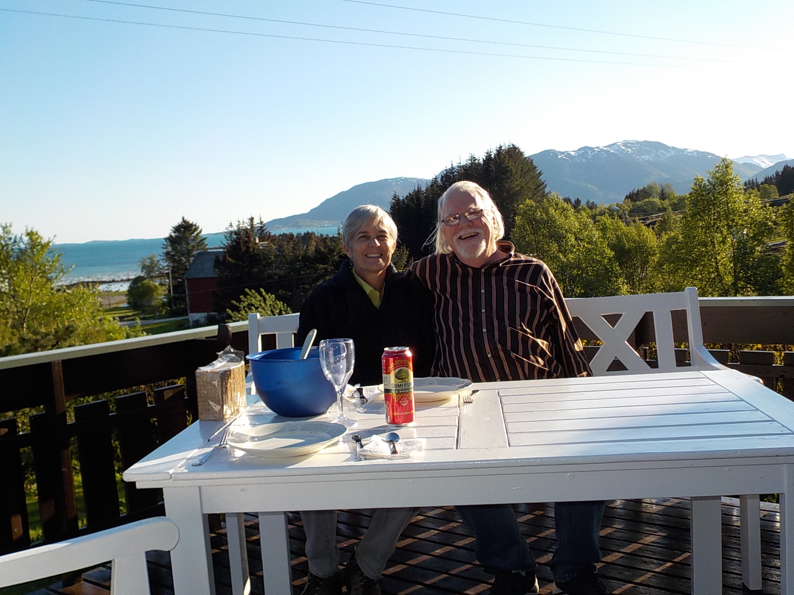
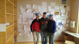
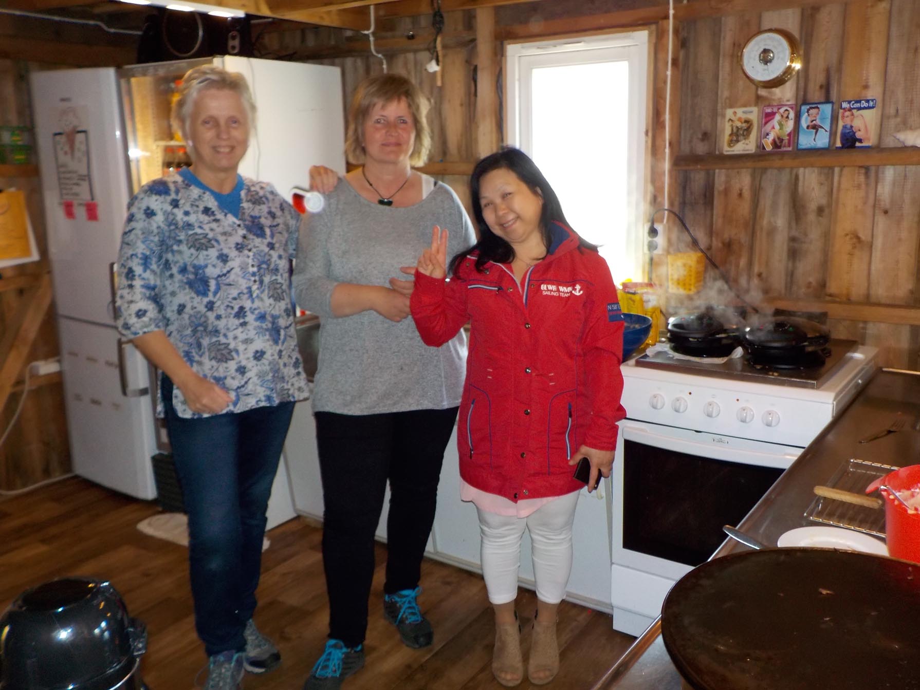
The next day was our last Sunday cafe before leaving, and I asked if I could have a photo with the ladies who run it. They were all delightful. 6.26.16 waffles.16-002The woman on the left is from southeast Norway and said that though it appears isolated, people of the north have always been able to fish, and never starved like her ancestors who were farmers. She shook her head as she described her grandmother, poorly nourished, with ten children, not all of whom survived. I mentioned the bread made with crushed tree bark to extend the flour that was made in Sweden during famines. “Oh, yes, bark bread. They made that in Norway, too.” Fortunately, times have changed.  How much we appreciate their community events!


Prehistory on Tjeldøya

Walking along the furrows of a plowed field after a rain is the best way to find artifacts, and there have been archaeological finds from Neolithic (Stone Age) farmers along the north side of Tjeldoya. There are photos of stone axes and spear points in the “Tjeldsund” booklet I mentioned in the last post. A wistful voice describes these 5000 year old finds. “Most of these artifacts have been found by farmers during the clearing and plowing of fields. Systematic investigations would provide a much more complete picture….”  There don’t seem to have been many professional excavations in this region. Archaeologists probably come by only when a big grave turns up.

https://encrypted-tbn0.gstatic.com/images?q=tbn:ANd9GcT2g3WIqfpNpmCPujKP3z_nJUZJ8BiANh6yp4lU69pNy2jt5ijS8w

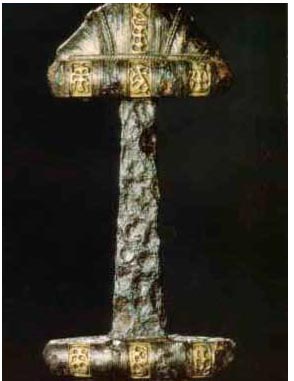
Dramatic archaeological finds are reported from graves in Ripelen, Sand, and Steinsvik, hamlets on Tjeldoya where burials from as early as AD 400 were found, extending into the Viking period and up through the ages. Best known among these is the Steinsvik sword, from an Iron Age grave (early 800s) that was found in 1902. The sword is now in the archaeology museum in Oslo. The tomb also held this chieftain’s ax and spear, along with agricultural tools, knife and scissors, symbols of his leadership.

https://i0.wp.com/www.vikingsword.com/petersen/ptsnf054.jpg

swordtest

The sword is on the left side of the left hand photo, before restoration. The right hand image is after restoration. It was difficult to find a photo–the right hand photo is from a tourist brochure. Sword collectors have a strong interest in the Steinsvik sword, and there are a number of recreations of it, but all the photos are copy-protected. The gold detail is of stylized animals and is part of the original sword.


Another intriguing find is that of a woman buried with “knives, scissors, a key, a needle and a bone comb. To her dress was fastened a rare bronze figure of an animal, around her neck was a chain of 55 glass, amber and bronze pearls [beads], and 16 small shells.” The shells are the unusual part of the necklace because they are cowries.https://encrypted-tbn1.gstatic.com/images?q=tbn:ANd9GcRJB-L8iZzKrx95bsMlKbpxANUfsfe0SFbJkjcBXARZXF3bSj_zLA


The nearest source of cowrie shells would have been the Mediterranean, indicating the distant reach of trade even in the 8th century, when the woman was buried.

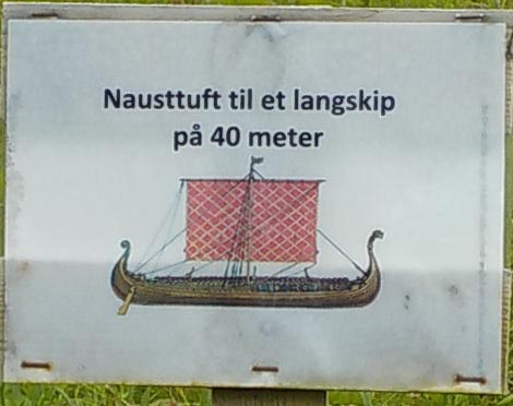
Of the archaeological sites mentioned, only one is clearly marked on the map and prepared for visitors, the Sand Viking Boathouse site. There is a small parking area and a marker, as well as a paved trail past the mounds that are the remains of a very large boathouse. This is considered significant, because a 40 m boathouse could house as large a Viking ship as has ever been found in Norway, suggesting an important person lived nearby. The large boathouse was later divided in two, for later, smaller boats.

6.29.16 Boathouses Sandbuka-011Each mound is one side of the boathouse.

6.29.16 Boathouses Sandbuka-012

https://i0.wp.com/www.lofotr.no/novus/upload/tab1/Opplevelser/.595x334/P1011843.JPG

This is Lofotr, the 23.5 m replica Viking ship at the Viking Museum on Vestvågøy in the Lofoton chain. The boat housed in the Viking boathouse at Sand would have been almost twice as long as this one.

6.29.16 Boathouses Sandbuka-010

A second boathouse foundation is from later, medieval times. The boat kept here would be about the size of the Lofotr, shown above.https://c3.staticflickr.com/4/3694/20019567986_2648148a3b_b.jpg

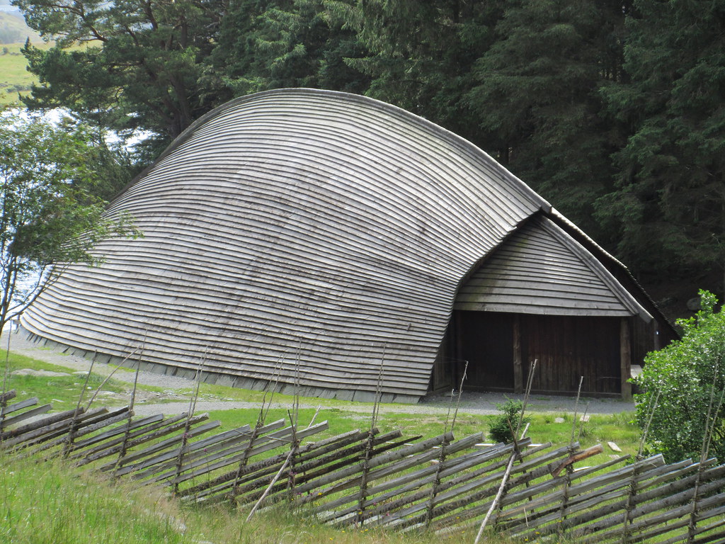
This is the reconstructed Viking boathouse in Avandsnes, Norway. The boathouse in Sand might not have been as elegant, but it would have been even larger than this one. These finds show you why Viking era archaeology can be so interesting, with large timber buildings. Even people who lived far from the main centers of trade obtained unusual objects. Though a village site might yield only remains of animals and a few tools, it also might have a few beads of Baltic amber or a shard of Roman glass.

Walking through History on Hovsveien

Using the magic of the internet I found, “Tjelsundet: A Channel Through the Ages,” a guide to Hovsveien, an ancient road along the north side of Tjeldoya Island.  This 2 km section  is open for walking, set up with trail markers and some informational signs.

You can see the roadbed pressed into the landscape.

6.23.16 Hovsveien pkc-004Along the way are ruins related to ancient farmsteads that were connected by the road. Today’s hamlets of Hov and Hol are named after the early farms (The stone may be a marker.) 6.23.16 Hovsveien-011

The road connects Hov and Hol. There is an extensive view over the Tjelsund fjord. “At Holshøgda (the heights of Hols) the prominent farmers are buried, with extensive views of their land and the channel.” This peaceful view would make a good memorial.

6.23.16 Hovsveien-005smEvery walk includes some wonders of nature.

6.23.16 Hovsveiensm

A drop of water in a leaf is a diamond.


6.23.16 Hovsveien pkc-007


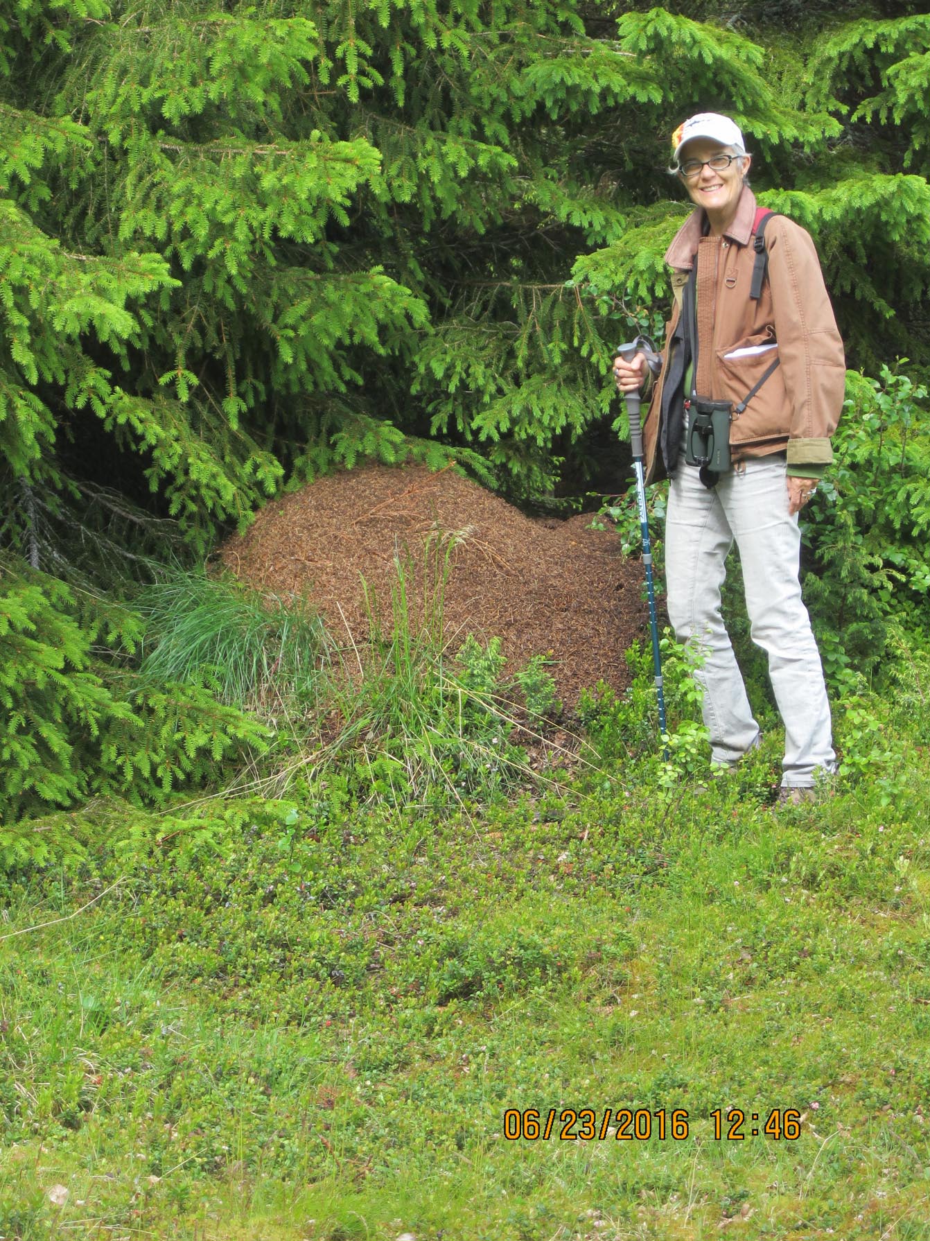
A huge anthill–there were several. Are we in Africa? The ants and their trails kept us stepping lively along the path.


Hovsveien ends at the Tjelsund church. We ate our picnic at one of the tables in the churchyard.

6.23.16 Hovsveien-016We made the return trip along the road, passing a few of the locals who were agog at our passing.6.23.16 Hovsveien-014

Though the Tjelsund Historical Association doesn’t appear to be as active today as it was when the booklet was published, the English translation is a gem and the trail still has some of its markers. Most sections are still mown and are easy to walk. Other trails branch off. We saw a walker in the distance who entered Hovsveien from another path.

Tjelsundet: A channel through the Ages (1994), by Hein Bjartmann Bjerck. Part of the Fotefar Mot Nord series.

http://www.arkivinordland.no/Handlers/fh.ashx?FilId=1529

The High-Noon Birding Society

Jonathan and I like to watch birds. We do not like to get up before dawn, as I believe diehard birders do. We therefore watch birds when we are out, often in the middle of the day. Our High-Noon Birding Society has had darn good luck, and I recommend others to start their own branch.

We’ve seen about 25 different birds in Norway. Some are species that we see elsewhere like ravens, magpies, jackdaws, mallards, and tits.

https://i0.wp.com/leirdal.net/blog/wp-content/uploads/2012/09/white-tailed-eagle-showing-off-the-loot.jpg

Others are new and different, like the white-tailed eagle that is rare anywhere but Norway.


https://llywindatravels.com/wp-content/uploads/2016/06/57060-fieldfare1.jpg

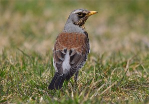
Fieldfare are the birds that take the place of robins we see in the US, hopping along the edge of the road and yards. They are unmistakable when they take off. Their lower back is light gray, a real giveaway when they are flying away from you.

                                                  The white wagtail is another bird we see that is easy to identify.


Many birds seem to be color-coded: Redwing, Redpoll, Redshanks, and a pair of red-breasted mergansers (ducks), along. Then there’s the Greenfinch.

https://i0.wp.com/www.audubon.org/sites/default/files/Bluethroat_w02-24-156_l.jpg


No Bluethroat yet, however.

We get a big kick out of seeing something new, trying to get a good enough look at it to go to our book, “Birds of Europe” (Princeon Field Guides) and identify it. Amanda gave us tiny post-its that look like owls that we use as bookmarks. We’ll never have a “Big Year” of birding (see the funny movie of the same name), but we have a good time.

[None of the bird photos on this page were taken by me–thank you to the people who post them on the internet.]

A Whirl Through Scandinavia: 3 countries in one day

Paula said, “Have you thought about going to Finland? It’s not that far.”

(Ha Ha Ha)

“Why not?” we replied. We decided to go to Finland on Tuesday as long as Jonathan didn’t stay up all night looking at the summer solstice on Monday. He did take photos at 2 am and 6 am, but the day started out sunny and we left for Finland at 8:30 am.

Our first pit stop had lots of local color.

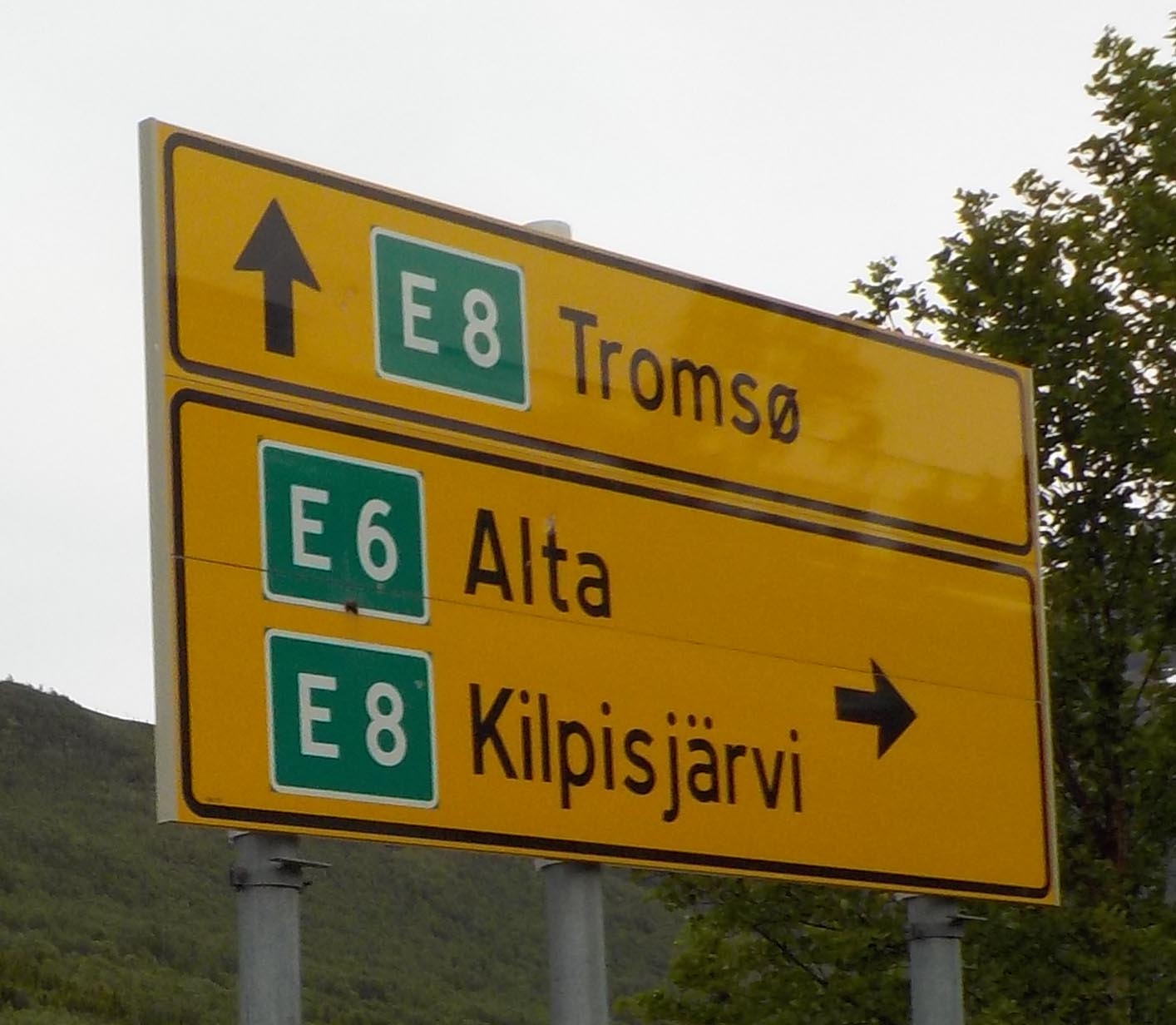
It was a pretty long drive. We celebrated at the halfway point when our destination was finally on the map, Kilpisjärvi.

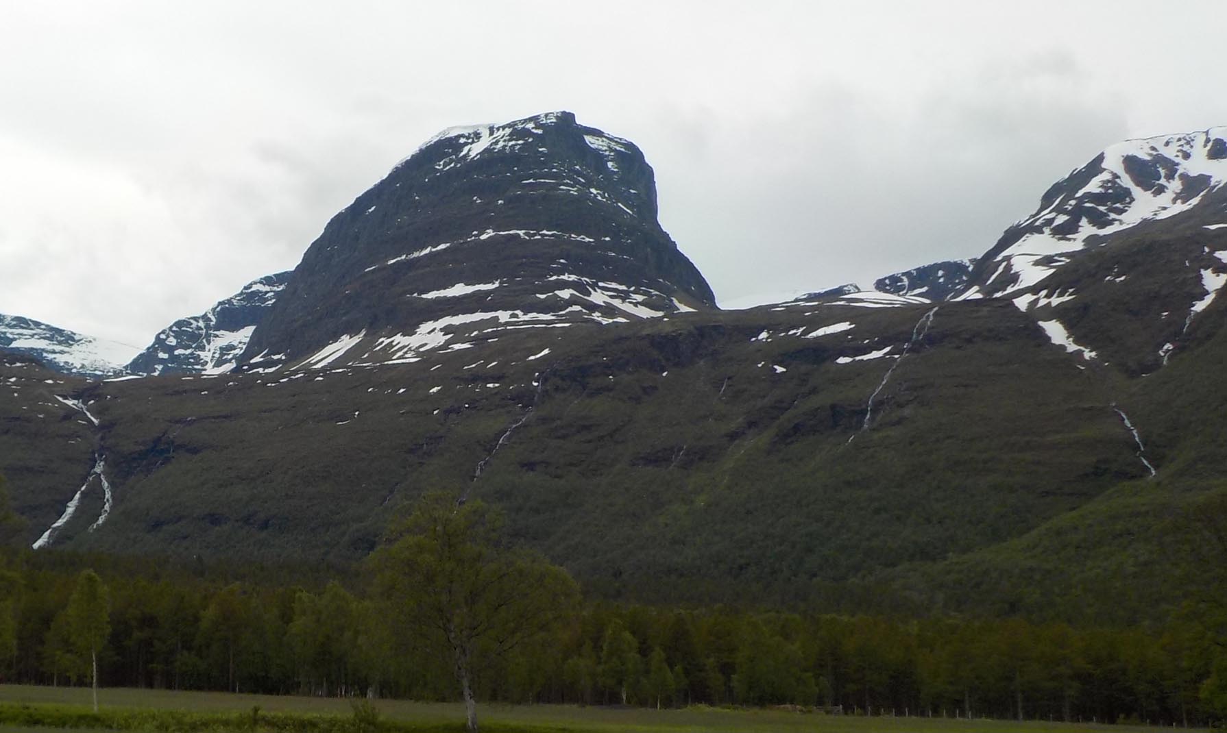
6.21.16 trip to Finland-008smYou drive across the top of Norway and then south to the border with Finland.  The mountains along the route were spectacular.

6.21.16 trip to Finland-013smInstead of the tree line at 12,000 ft. it was at about 1500 ft. just above us. The vegetation of fir trees, small birch, alder, aspen trees, and thick moss is considered taiga, one of those areas you learned about in geography and never expected to see.

6.21.16 trip to Finland-011smKilpisjärvi is the first town you come to on this route to Finland. There are rental cabins, fishing trips and lake tours. We ate lunch overlooking the large lake. After lunch we did a bit of birdwatching and saw a brambling, and others that didn’t stay long enough to identify.

6.21.16 Finland trip-004smDespite the fabulous scenery, one highlight of Kilpisjärvi is shopping, that is, beer is much less expensive than in Norway, about € 1 per can. It’s a bit like going into a store on the edge of the Navajo reservation.

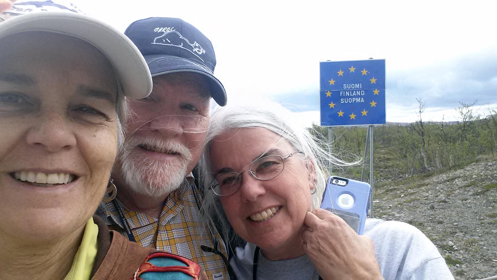
We didn’t need to stock up but we found a source of postcards, stamps and even a mailbox that offers “a special postmark”. I can’t wait to see when they get to the US. I now have a pair of wool socks that say “Kilpisjärvi”. Jonathan has a tshirt with reindeer, and Paula has a small bag that says “Finland”. Woo hoo, we’re souvenir-ed up, complete with selfies at the Finnish border. There was no one to stamp our passport.

6.21.16 Finland (3)The map showed no roads into Sweden, so I checked on GoogleEarth and found a spot that looked like it went into Sweden, so we continued another 20 km down the road to see if we could hit a third country. The road was there, though a rather unprepossessing neighborhood–it was the recycling depot with about a half dozen wrecked cars, two recycling containers and a small parking lot. Bummer–no road to Sweden. However…..

6.21.16 trip to Finland-014smThere is a footbridge from one gravel parking lot to an equivalent spot on the other side. We crossed the river, checked our cell phone maps to make sure we were actually in Keinovuopio, Sweden, cheered, and went back to Finland.

The drive back got a bit long. We arrived back at our house in Kjerstad about 12.5 hours after we left, having traveled just over 700 km. Quite an adventure!


The North Norway Music Festival

June 18-25 is the annual music festival in Harstad, held during the week of Midsummer Eve (June 21). We went to Harstad for the opening ceremony, which made a rainy day a lot of fun. We heard from Norway’s Minister of Culture, Linda Cathrine Hofstad Helleland, then the crowd was conducted to a nearby plaza accompanied by a humming choir and musicians playing along the route.

In the plaza, music played, people flipped colored cards, an overhead camera recorded the patterns and balloons sailed away while everyone danced.

The women’s drum line marched from the central square to the nearest wharf where they played before another group who spoke from a floating dock. It was fun to watch even if I couldn’t understand the remarks.

We did a bit of shopping, including postcards from the tourist office and mementos for our hats–possibly relevant for later in the summer. A group of women presented locally designed clothing, jewelry, art glass, painting and hand made crafts. These were all very creative and out of the ordinary. I wish I needed—anything! We had coffee and pastry at a pop-up bakery cafe. By then we’d seen the sights and the festival was underway. The many performances: theater, music, dance, discussions, workshops and a program for families are spread across the coming days from 10 am to midnight. It is a well-known event in the region, that is, a cruise ship stopped in Harstad today, we could recognize the passengers by their transparent raincoats. Paula and I can be recognized by our newly acquired mementos pinned to our hats:

6.20.16 Tjeldodden campfire-001smFind out more about the North Norway Music Festival at: http://www.festspillnn.no

Iron and War

How much we learned in school! How little that was! Like most Americans, I know nothing of the history of Norway other than a general sense of it being politically neutral in general (probably confusing it with Sweden). We’ve discovered that our area was central to the German invasion and occupation of Norway, 1940-1944.

This is Ofotfjord:

6.11.16 Georges Plass-003The island we are on, Tjeldoya, or Oystercatcher Island, is at the mouth of Ofotfjord, the fjord that extends to the city of Narvik. Narvik’s port is ice free all year long and was built to facilitate the export of iron ore from Sweden to the rest of Europe. Norway is quite narrow and the distance from the iron-ore producing center of Kiruna, Sweden to Narvik, Norway is shorter than the distance to the nearest Swedish port, Luleå. Further, ports at the northern end of the Baltic like Luleå, are frozen much of the winter, making Narvik doubly attractive. During WWII, the invasion of Norway wasn’t confined to Narvik, but it was carried out to obtain its iron ore.

In the 1930s, both Germany and England had their eyes on Narvik,  to secure the iron ore coming from Sweden, and to prevent ore from reaching the other country. In late 1939, a report passed in front of Hitler suggesting the importance of taking over Narvik and he ordered an invasion plan drawn up. This was carried out in April 1940 just before an invasion planned by the Allies, and in fact the German forces were defeated in battles on the water just off Tjeldoya (our island), and on land. However,  Allied troops were evacuated from Narvik in early June when Germany invaded Belgium, the Netherlands, Luxembourg and France. Norway was occupied for four years and it sounds like the Allies ceded Norway to Germany because other battles had begun (!). (For an interesting footnote on how the evacuation of Narvik could be related to Ian Fleming’s James Bond, see https://en.wikipedia.org/wiki/Operation_Alphabet ).

Frederik, our host here in Kjerstad, left us an excellent topographic map of the island and we set out to explore and fish. One of our first stops was the end of the road on this side of the island (the coast road doesn’t completely encircle the island). We saw a sign that we later translated as “Please do not drive vehicles on the fort.” There were some lumpy, rocky formations clustered around what I assumed was a miniature visitors center. I was wrong on both counts. Tjelddoden, Oystercatcher Point, refers to the entire south end of the island, completely covered by bunkers and other features built during the occupation of Norway. The area is about one square kilometer, very large when you are on foot, and includes the ruins of bunkers, gun emplacements, and lookout posts dug into the rock of the island. There are concrete-lined trenches dug into the rock and faced with rock, and facing away from Ofotfjord are olive green barracks buildings now falling to pieces. There is a series of rooms within a hill that appears to have been the mess hall. There were about 300 soldiers stationed here. (More information at Tjeldodden.com)

After WWII the fort was taken over by the Norwegian armed services. It was decommissioned in 1993 and given to the municipality in 2002. It looks like some structures were dismantled or demolished and windows and entrances to the underground structures were blocked with cement before the handover to the community. Today the fort is open to visitors but otherwise unchanged. We discovered that in addition to being repurposed for visitors (see “History, Arts, and Culture…” post), some of the structures have been reopened by curious visitors with sledgehammers. The area is beautiful, a strange park with remnants of violent history all around.

Recycling is a mystery

Norway has a system for recycling food waste, paper, glass, metal, plastic packaging, other plastic and everything else (“residual waste”). Sounds great, doesn’t it? The resulting system is so complex that: a) after two weeks, I still don’t know what goes in the green-topped bin vs. the blue-topped bin, and b) it appears that most of our neighbors separate food from everything else and skip most recycling.

Mystery #1–Colors. There isn’t a place, including the multi-page recycling pamphlet in English, that tells you what the color codes are. I’m stumped partly because in Portugal there was a system (yellow, green, blue, battery box, dumpster) that I had figured out. Every home in Norway has four bins: blue, green, brown, black. However, either blue or green is paper and I’m not sure what goes in the other. Brown is food waste that goes in very fragile compostable bags that are provided, and all else goes in the black bin.

Note the cider can. It has a PANT pf 1.5 NOK.

Mystery #2–PANT. You are charged a deposit on most plastic and metal beverage containers. Marked on the exterior of the container is PANT 1Kr up to 2.50 Kr.

Note the cider can in the photo. It has a PANT pf 1.5 NOK (Norwegian Kronor).

You are instructed to rinse these containers and bring them to the store. I had some trouble finding the machine because it was inside the store in the beverage section. Perfectly logical except that recycling in the US is general done on the margins of the store. The machine takes and read each container. At the end it issues you a credit slip that can be applied to your shopping or redeemed. Not difficult other than the accumulating and rinsing and remembering to take to the store part. (Joke for Americans: How do you get a pair of pants in Norway? Answer: Have two beers.)

Mystery #3– Plastic. Plastic is divided into two groups, plastic packaging and other plastic. Packaging goes in a plastic bag that is put out weekly with your bins–but not in them. Problem: here the wind is usually blowing hard enough that the idea of leaving out a bag full of lightweight plastic is, well, a very bad idea. Other plastic is supposed to be taken somewhere and dropped off to be recycled, but I haven’t been able to figure out where that is. I haven’t found a bin at home or near the store. Right now, it’s just piling up.

I stopped collecting plastic from along the high tide line because it falls into the category that I don’t know how to recycle, such as this boot, rubber gloves, jerry cans and other fishing debris that gets washed off boats.

Mystery #4–Those other things. Having established that bottles/cans, food, paper, and some plastic can be recycled, what do you do with glass, non-PANT metal, and “other” plastic. There are supposed to be places to drop off these materials, but so far, see my previous comment.


I haven’t given up, but I’m starting to think that my neighbors who separate wet from dry and call it a day may be on to something. If you know what goes in the green or blue bins, please let me know!

History, arts and culture–if this is the result of high taxes, give me some.

At the end of the road on Tjeldoya Island (and that is saying something) we parked, got out to fish and amid the ruined bunkers of the WWII Fort Tjeldodden we found Georg’s Plass, a picnic spot complete with tables, benches, fire pit, tripod and cooking vessel, dishes, cups and other supplies in a setting with a view over the water. You could have a barbecue for a big crowd here. All the supplies were in order and other than a few plastic cups in the fire pit and a stray coke bottle, it was orderly and without graffiti. One sign asks that users clean up after themselves.

0606161122sm

We were amazed. (See pictures in previous post.)


A few days later we visited an archaeological site from the Viking period and Middle Ages. Beyond the site along the shore was another attractive and well-furnished picnic area, again in perfect condition. Parking along the road and signs directed us.

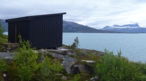
Another day, we drove to the other end of the road on Tjeldoya (the road doesn’t complete a circle around the island, it’s too steep). We found a beach and rocks and two men camping and fishing from a canoe who had gotten cod and trout (“no salmon,” they said regretfully). We stopped at an area marked for “Parkering” with a sign, and found an article that we couldn’t translate, but we also found a path. We hiked up on the rocks for about 10 minutes and about when we were ready to turn back we found a small structure with big windows facing the ocean. Like fairy tale characters, we went inside.

A bench and shelf lines the window, art supplies are provided (paper, colored pencils, watercolors) and the resulting works are pinned to the side walls. Periodically, the works are gathered up, placed in a binder, dated and filed on the back wall. It’s an ongoing art project. We saw artworks from just a day or two before our visit, going back to the opening of the place in 2006. Again, the door was unlocked, the place was in order–it was a respite from the cold and wind and encouraged you to draw and look out the window. In the picture below, you can tell which is by the art student (Jim).

6.12.16 Mykelbostad Tjeldoya-024Back on our own side of the island, we went to investigate a hut at the Tjeldodden fort, (or possibly Fort Tjeldoya). Construction of this German fort began late in 1940 after the takeover of Narvik and all of Norway. It held up to 300 men and was occupied until at least 1944. (See Iron and War post coming up.) We thought the hut would be a view point over the remains of the fort. This is what we found:

We have now visited four of these sites. Three are historic sites set up for cooking/heating and numbers of visitors. The fourth is an art site. All are left unlocked and are unharmed and ungraffitied, their supplies intact. Some even have bathrooms. This island is the most remote in the Lofoten chain (often not included in the “Lofoten”, though it is an island), yet all these sites are equipped to make visits interesting and fun. Each site has information posted or in laminated pages available inside the structure.

How do these places happen? They are great. There should be places like this in the US. If you know of one in the US, please let me know.

Fishing

A great day of fishing, everyone caught fish and had to toss them back. We kept enough fish for two meals, one of pollock.

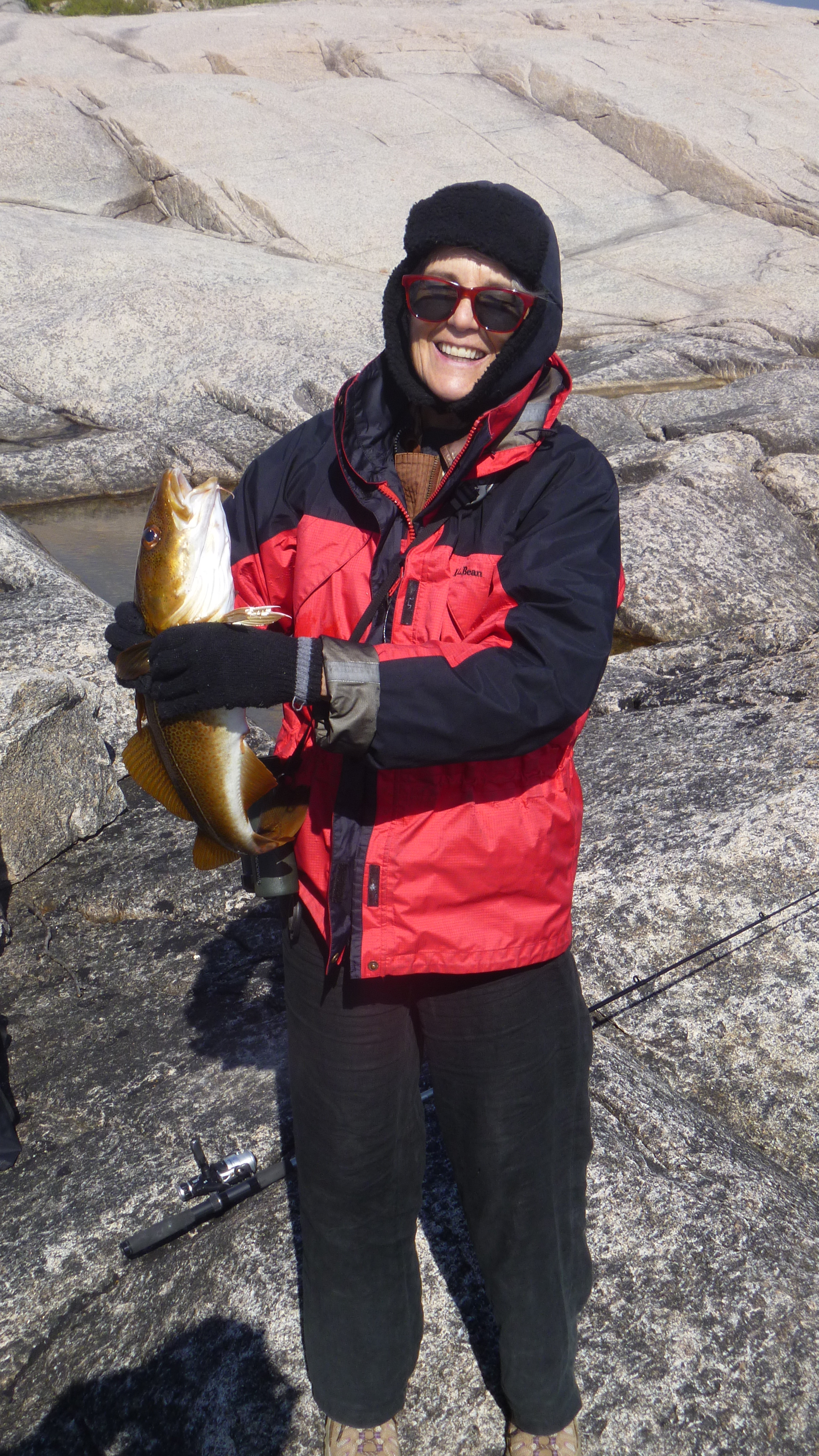
My big moment was catching a cod, the first fish other than a pollock (seithe) that we’ve gotten.

6.9.16 fishing (2)sm


6.9.16 fishing-023


The wind had come up a bit by the time I caught the cod, so I have my winter hat on. For much of the day, it was quite a bit warmer, but whenever clouds cover the sun or the wind picks up it gets pretty chilly.

6.9.16 baked cod


6.9.16 baked cod-003

It was a great fish.


Amanda thinks for a while and then addresses the fjord.

Jonathan caught fish under Jimmy’s watchful eye.

We fished from a wonderful place set up for a huge gathering near the water called George’s Place. The sign says “Please clean up for next time.”

Amanda looks around at the chairs, cooking utensils, fireplace with hanging pot and says, “So…. Norway has no tweakers? This would all be stolen from anyplace near us.” We then discussed whether Norway’s farm support policies help people in rural areas make a living–and therefore people don’t need to resort to producing meth to make money. It’s a thought. The area was spectacular.

6.9.16 Fishing-008