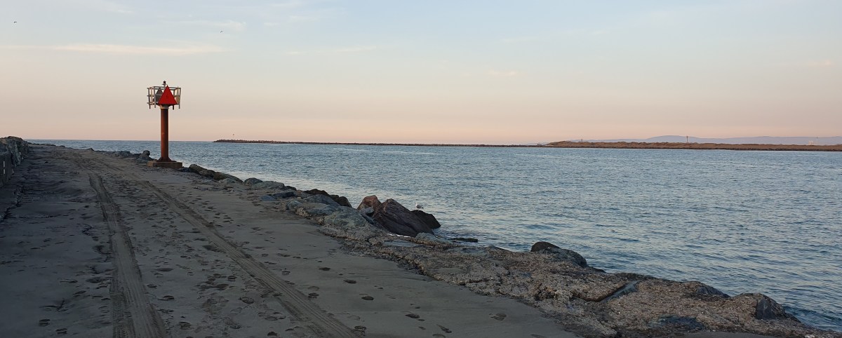
Eureka is known for Humboldt Bay, yet the entrance to the huge, shallow bay was so narrow that it was not recognized by Spanish and Russian explorers sailing up and down the Pacific coast of North America in the era of European exploration.
The channel between land and sea was discovered by Josiah Gregg and companions, traveling from newly discovered gold fields inland, looking for a likely port. Between early November 1849 and Jan 1850, the explorers made their way on horseback from the mountains to the coast, emerging at what is now Trinidad. The group arrived on Humboldt Bay in December, after a difficult time making their way south along the coast, and there they identified the channel connecting the bay and the sea. Along the way, the explorers gave the rivers the names we use today (Little, Mad, Elk, Eel, Van Duzen). Eventually quarreling, half the group followed the Eel River to the east and home, while Gregg and the others continued south along the coast. Gregg’s group eventually turned back, but weakened by starvation, he died along the way. The surviving explorers shared the bay’s location, and the first American ship entered Humboldt bay just months later.
Since those early days, travel has followed waterways. The main highway into the area, Rte. 101, was completed in 1923. It follows the South Fork of the Eel River, just as the survivors of Josiah Gregg’s expedition did in 1850. It was a very long drive from San Francisco to Eureka until the Golden Gate Bridge was completed in 1937.
In the Eureka area, Myrtle Ave. and the Old Arcata Road run along the base of the hills at the edge of the coastal plain, for a good reason. Initially, all the level land around Humboldt Bay, from Arcata to Loleta, was tidal marsh. Rivers emptied into the ocean, but not until they’d looped back and forth across the low land at the edge of the bay, a mirage of land perched on the water.
Nothing was solid, yet an attraction of Humboldt Bay was the open land around it. First settled as a port for gold miners, and then the lumber industry, businesses needed docks, wharves, and warehouses. Land was created by dredging and filling in the marshy shore, turning the watery plain into dry land.

The isolation of the region from the rest of the country, and the cost of importing food by ship, fostered both cattle ranching and farming. Many people who moved west during the gold rush found a better life farming or ranching than working in mines. Almost all the level land around the bay was drained and dry by the mid-20th century. As access to the area increased, more and more drained land was used for housing rather than fields and pastures.
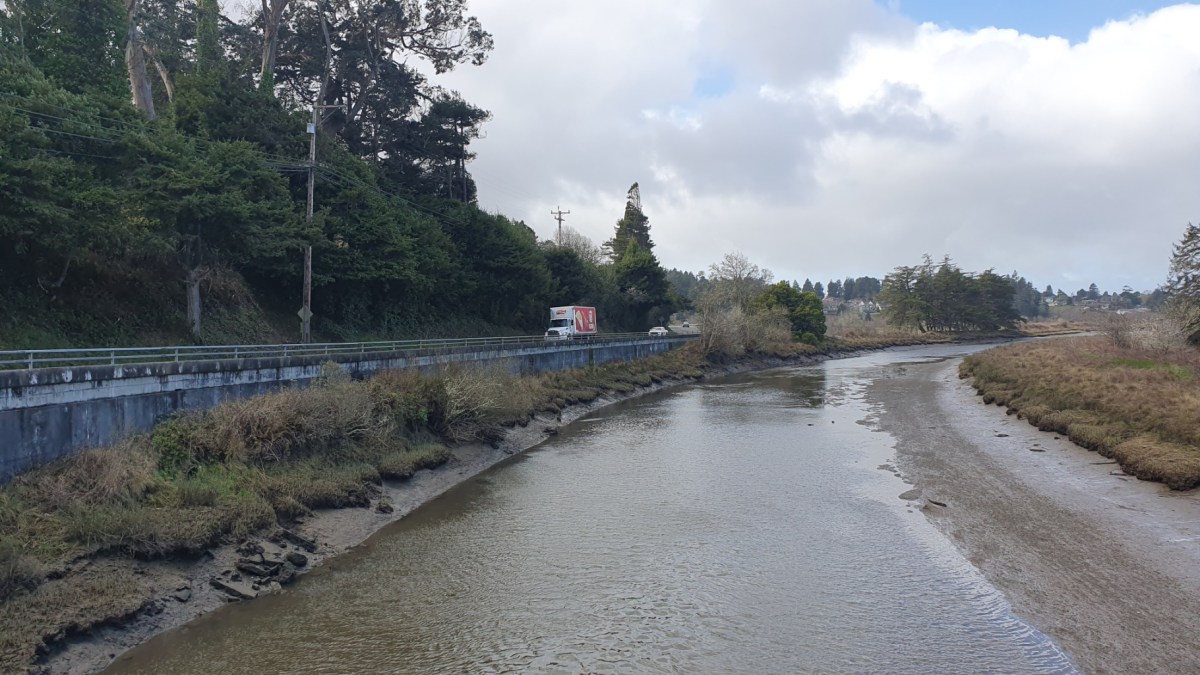
Climate change is also making people rethink the boundary between land and water. After many years of drought or near-drought, winter 2022-2023 brought heavy rain, and though all that rain heads to the ocean, it doesn’t get there right away. Any remnant of low-lying land becomes a shallow pool, harking back to the pre-European swampy channels that made up the coastal margin.

County planners are working to convince farmers and ranchers that more draining will not fix a problem that has no solution, but change proceeds slowly. In 2022, a parcel of about 95 acres of cattle pasture adjacent to the coast was given to the county. The animals were moved, and heavy machinery carved channels along low spots. Two culverts through the old railroad embankment reconnected the ocean with the channels. We happened to go for a walk in this area the week before the transformation began, and we’ve been amazed by the rapid change from cattle pasture to tidal flats. We’ve driven by recently when the entire area looked like a lake, though when the tide is out, the area has large grassy hillocks. Shore birds congregate in the shallow water. This is not the only place where the conversion of pasture and farmland back to tidal marsh has taken place, though this is one where the change is intentional. Patches of land around the bay have been converted as one group or another converts drained land back into marsh, the wave of the future.
As more rain falls, and as sea level rises, watery change will affect more land, whether it is prepared to become tidal basin or not. Hwy 101 turns north directly across marshland between Eureka to Arcata, and now the road occasionally floods. Myrtle Avenue and the Old Arcata Road, long ago superseded by Hwy 101, may become important all over again, as everything between the hills and the ocean may one day be reclaimed by the sea.

You’d find it interesting, though you have to choose your cycling routes carefully. Rural roads are narrow and full of people who like to drive pickup trucks fast.
LikeLike
Fascinating, thanks!
LikeLike
I’m glad you enjoyed it! I’ve been thinking about the land/water relationship ever since we moved here.
LikeLike
That was a great post. I had no idea about the history of the discovery of the bay have never been that far north up the coast.
LikeLike